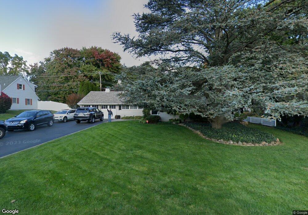
36 Forsythia Dr E Levittown, PA 19056
Forsythia Gate NeighborhoodEstimated Value: $493,078 - $568,000
3
Beds
2
Baths
2,465
Sq Ft
$215/Sq Ft
Est. Value
About This Home
This home is located at 36 Forsythia Dr E, Levittown, PA 19056 and is currently estimated at $530,770, approximately $215 per square foot. 36 Forsythia Dr E is a home located in Bucks County with nearby schools including Albert Schweitzer Elementary School, Sandburg Middle School, and Neshaminy High School.
Ownership History
Date
Name
Owned For
Owner Type
Purchase Details
Closed on
Jan 31, 1996
Sold by
Bucks County Industrial Development Auth
Bought by
Kearse Frank J and Kearse Christine
Current Estimated Value
Home Financials for this Owner
Home Financials are based on the most recent Mortgage that was taken out on this home.
Original Mortgage
$270,000
Outstanding Balance
$8,914
Interest Rate
7.1%
Estimated Equity
$521,856
Purchase Details
Closed on
Jun 18, 1991
Sold by
Kane
Bought by
Kearse Frank J Jr and Kearse Christine
Purchase Details
Closed on
Jan 29, 1987
Bought by
Kane
Create a Home Valuation Report for This Property
The Home Valuation Report is an in-depth analysis detailing your home's value as well as a comparison with similar homes in the area
Home Values in the Area
Average Home Value in this Area
Purchase History
| Date | Buyer | Sale Price | Title Company |
|---|---|---|---|
| Kearse Frank J | $300,000 | -- | |
| Kearse Frank J Jr | $142,000 | -- | |
| Kane | $110,000 | -- |
Source: Public Records
Mortgage History
| Date | Status | Borrower | Loan Amount |
|---|---|---|---|
| Open | Kearse Frank J | $270,000 |
Source: Public Records
Tax History Compared to Growth
Tax History
| Year | Tax Paid | Tax Assessment Tax Assessment Total Assessment is a certain percentage of the fair market value that is determined by local assessors to be the total taxable value of land and additions on the property. | Land | Improvement |
|---|---|---|---|---|
| 2025 | $6,444 | $29,600 | $6,680 | $22,920 |
| 2024 | $6,444 | $29,600 | $6,680 | $22,920 |
| 2023 | $6,342 | $29,600 | $6,680 | $22,920 |
| 2022 | $6,175 | $29,600 | $6,680 | $22,920 |
| 2021 | $6,175 | $29,600 | $6,680 | $22,920 |
| 2020 | $6,101 | $29,600 | $6,680 | $22,920 |
| 2019 | $10,810 | $29,600 | $6,680 | $22,920 |
| 2018 | $5,855 | $29,600 | $6,680 | $22,920 |
| 2017 | $5,706 | $29,600 | $6,680 | $22,920 |
| 2016 | $5,706 | $29,600 | $6,680 | $22,920 |
| 2015 | $5,895 | $29,600 | $6,680 | $22,920 |
| 2014 | $5,895 | $29,600 | $6,680 | $22,920 |
Source: Public Records
Map
Nearby Homes
- 114 Nursery Ave
- 65 Candle Rd
- 75 Flamehill Rd
- 23 Crystal Place
- 53 Crestwood Rd
- 212 Apple St
- 28 Rust Hill Rd
- 14 Cleft Rock Rd
- 88 Forsythia Dr N
- 33 Red Rose Way
- 479 Stanford Rd
- 14 Cinnamon Rd
- 8 Haven Rd
- 6 Handy Rd
- 225 Yorkshire Rd Unit HIII
- 17 Quay Rd
- 7 Canal Rd
- 283 Snowball Dr
- 46 Quill Rd
- 301 Snowball Dr
- 32 Forsythia Dr E
- 40 Forsythia Dr E
- 35 Forsythia Dr E
- 39 Forsythia Dr E
- 27 Forsythia Dr E
- 26 Forsythia Dr E
- 48 Forsythia Dr E
- 1442 Bristol Oxford Valley Rd
- 45 Forsythia Dr E
- 1430 Bristol Oxford Valley Rd
- 18 Fruitree Rd
- 1429 Bristol Oxford Valley Rd
- 24 Fruitree Rd
- 51 Forsythia Dr E
- 54 Forsythia Dr E
- 22 Forsythia Dr E
- 10 Fruitree Rd
- 1467 Bristol Oxford Valley Rd
- 2 Fruitree Rd
- 28 Fruitree Rd