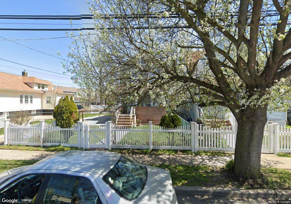
36 Harding Place Freeport, NY 11520
Estimated Value: $537,551 - $595,000
--
Bed
1
Bath
1,068
Sq Ft
$530/Sq Ft
Est. Value
About This Home
This home is located at 36 Harding Place, Freeport, NY 11520 and is currently estimated at $566,276, approximately $530 per square foot. 36 Harding Place is a home located in Nassau County with nearby schools including Columbus Avenue School, Caroline G. Atkinson Intermediate School, and John W Dodd Middle School.
Ownership History
Date
Name
Owned For
Owner Type
Purchase Details
Closed on
Jan 26, 2007
Sold by
Urquia Gregorio
Current Estimated Value
Purchase Details
Closed on
Mar 26, 2003
Sold by
All State Properties Llc
Bought by
Urquia Gregorio
Purchase Details
Closed on
Oct 4, 2002
Sold by
Wolkow Michael C
Purchase Details
Closed on
Feb 24, 1999
Sold by
Opel Too Inc
Bought by
Melendez Luis
Purchase Details
Closed on
Sep 23, 1998
Sold by
Strothers Lawrence
Bought by
Opel Too Inc
Purchase Details
Closed on
Jul 28, 1992
Create a Home Valuation Report for This Property
The Home Valuation Report is an in-depth analysis detailing your home's value as well as a comparison with similar homes in the area
Home Values in the Area
Average Home Value in this Area
Purchase History
| Date | Buyer | Sale Price | Title Company |
|---|---|---|---|
| -- | -- | -- | |
| Urquia Gregorio | $250,000 | -- | |
| -- | $146,500 | -- | |
| Melendez Luis | $148,400 | -- | |
| Opel Too Inc | $75,500 | -- | |
| -- | $16,000 | -- |
Source: Public Records
Tax History Compared to Growth
Tax History
| Year | Tax Paid | Tax Assessment Tax Assessment Total Assessment is a certain percentage of the fair market value that is determined by local assessors to be the total taxable value of land and additions on the property. | Land | Improvement |
|---|---|---|---|---|
| 2025 | $7,676 | $356 | $149 | $207 |
| 2024 | $807 | $356 | $149 | $207 |
| 2023 | $8,040 | $356 | $149 | $207 |
| 2022 | $8,040 | $356 | $149 | $207 |
| 2021 | $12,293 | $341 | $143 | $198 |
| 2020 | $8,848 | $592 | $379 | $213 |
| 2019 | $8,712 | $592 | $379 | $213 |
| 2018 | $8,572 | $592 | $0 | $0 |
| 2017 | $7,124 | $592 | $304 | $288 |
| 2016 | $8,013 | $627 | $322 | $305 |
| 2015 | $1,066 | $738 | $334 | $404 |
| 2014 | $1,066 | $738 | $334 | $404 |
| 2013 | $1,007 | $738 | $379 | $359 |
Source: Public Records
Map
Nearby Homes
- 47 Harding Place
- 11 Mount Ave
- 45 Dehnhoff Ave
- 70 N Grove St Unit 1R
- 26 Rosedale Ave
- 117 N Grove St
- 67 E Dean St
- 98 N Columbus Ave
- 96 N Columbus Ave
- 182 Grand Ave
- 70 S Main St Unit 307-PH
- 55 Harris Ave
- 99 Randall Ave Unit 2-J
- 99 Randall Ave Unit 1Q
- 101 Harris Ave
- 100 Randall Ave Unit 1E
- 110 Brooklyn Ave Unit 1D
- 112 E Seaman Ave
- 55 S Bergen Place Unit 3F
- 101 Wallace St
- 34 Harding Place
- 48 Harding Place
- 38 Harding Place
- 50 Harding Place
- 50 Harding Place Unit 1
- 50 Harding Place Unit 4
- 60 Harding Place
- 32 Harding Place
- 37 Graffing Place
- 37 Graffing Place
- 41 Graffing Place
- 43 Harding Place
- 51 Harding Place
- 39 Harding Place
- 62 Harding Place
- 30 Harding Place
- 30 Harding Place
- 53 Harding Place
- 53 Harding Place Unit 1Floor
- 35 Harding Place