36 Hardy Farm Rd Wilton, ME 04294
Estimated Value: $257,000 - $455,000
3
Beds
3
Baths
1,188
Sq Ft
$319/Sq Ft
Est. Value
About This Home
This home is located at 36 Hardy Farm Rd, Wilton, ME 04294 and is currently estimated at $379,043, approximately $319 per square foot. 36 Hardy Farm Rd is a home located in Franklin County with nearby schools including Mt. Blue High School.
Ownership History
Date
Name
Owned For
Owner Type
Purchase Details
Closed on
Oct 18, 2018
Sold by
Lancaster James C
Bought by
Lancaster James C and Lancaster Rebecca J
Current Estimated Value
Home Financials for this Owner
Home Financials are based on the most recent Mortgage that was taken out on this home.
Original Mortgage
$100,000
Interest Rate
4.5%
Mortgage Type
Purchase Money Mortgage
Create a Home Valuation Report for This Property
The Home Valuation Report is an in-depth analysis detailing your home's value as well as a comparison with similar homes in the area
Home Values in the Area
Average Home Value in this Area
Purchase History
| Date | Buyer | Sale Price | Title Company |
|---|---|---|---|
| Lancaster James C | -- | -- |
Source: Public Records
Mortgage History
| Date | Status | Borrower | Loan Amount |
|---|---|---|---|
| Closed | Lancaster James C | $100,000 |
Source: Public Records
Tax History Compared to Growth
Tax History
| Year | Tax Paid | Tax Assessment Tax Assessment Total Assessment is a certain percentage of the fair market value that is determined by local assessors to be the total taxable value of land and additions on the property. | Land | Improvement |
|---|---|---|---|---|
| 2024 | $4,813 | $225,971 | $36,925 | $189,046 |
| 2023 | $4,610 | $225,971 | $36,925 | $189,046 |
| 2022 | $4,384 | $225,971 | $36,925 | $189,046 |
| 2021 | $4,384 | $225,971 | $36,925 | $189,046 |
| 2020 | $4,041 | $202,031 | $36,925 | $165,106 |
| 2019 | $2,538 | $202,031 | $36,925 | $165,106 |
| 2018 | $2,456 | $202,031 | $36,925 | $165,106 |
| 2017 | $4,172 | $202,031 | $36,925 | $165,106 |
| 2016 | $4,172 | $202,031 | $36,925 | $165,106 |
| 2015 | $4,519 | $241,000 | $48,300 | $192,700 |
| 2014 | $4,181 | $241,000 | $48,300 | $192,700 |
| 2013 | $3,916 | $241,000 | $48,300 | $192,700 |
Source: Public Records
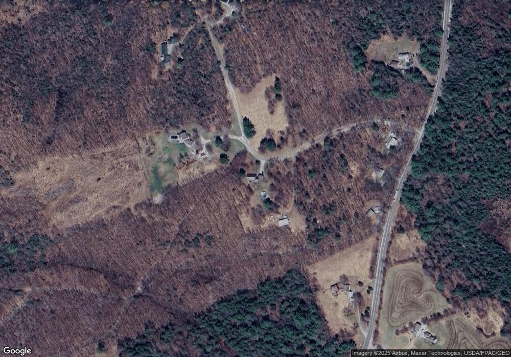
Map
Nearby Homes
- 775 U S 2
- US RT 2E Us Routes 2 & 4
- Route 156 N Chesterville Rd
- 235 N North Chesterville Rd
- 28//36&37 Us Route 2 & 4
- 37 Mclaughlin Rd
- 294 Depot St
- Map5 L30-8 Knowlton Corner Rd
- 1022 Main St
- 376 Depot St
- Map34 Lot4 Orchard Dr
- 44 Sunset Ave
- 555 Depot St
- Lot 2 Village View St
- 389 Wilton Rd
- 15 Highland Ave
- MR04 L10-A Maine 133
- 12 Allen St
- 2 Prospect St
- 5 Prospect St
- 44 Hardy Farm Rd
- 258 Route 133
- 266 Route 133
- 4 Hardy Farm Rd
- 232 Route 133
- 64 Hardy Farm Rd
- 0 Hardy Farm Rd
- 0 Hardy Farm
- 63 Hardy Farm Rd
- 292 Route 133
- Route 133 Franklin Rd
- 2 Melcher Rd
- 170 Route 133
- 217 McCrillis Corner Rd
- 184 Route 133
- 65 Chretien Rd
- 0 Maine 133
- M35L82 Maine 133
- 120 Hardy Farm Rd
- 187 Route 133