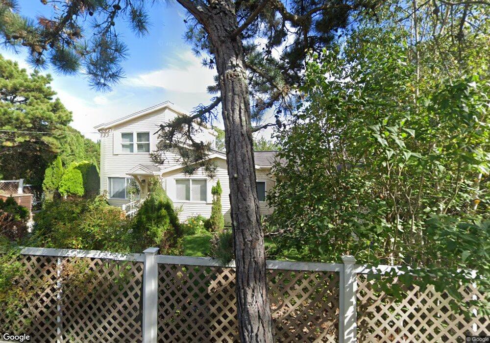
36 Hill Top Rd Gloucester, MA 01930
West Gloucester NeighborhoodEstimated Value: $767,440 - $988,000
1
Bed
2
Baths
1,986
Sq Ft
$455/Sq Ft
Est. Value
About This Home
This home is located at 36 Hill Top Rd, Gloucester, MA 01930 and is currently estimated at $904,360, approximately $455 per square foot. 36 Hill Top Rd is a home located in Essex County with nearby schools including West Parish, Ralph B O'maley Middle School, and Faith Christian School.
Create a Home Valuation Report for This Property
The Home Valuation Report is an in-depth analysis detailing your home's value as well as a comparison with similar homes in the area
Home Values in the Area
Average Home Value in this Area
Tax History Compared to Growth
Tax History
| Year | Tax Paid | Tax Assessment Tax Assessment Total Assessment is a certain percentage of the fair market value that is determined by local assessors to be the total taxable value of land and additions on the property. | Land | Improvement |
|---|---|---|---|---|
| 2025 | $6,542 | $673,000 | $186,900 | $486,100 |
| 2024 | $6,094 | $626,300 | $178,000 | $448,300 |
| 2023 | $5,659 | $534,400 | $158,900 | $375,500 |
| 2022 | $5,463 | $465,700 | $138,200 | $327,500 |
| 2021 | $5,272 | $423,800 | $125,700 | $298,100 |
| 2020 | $5,303 | $430,100 | $125,700 | $304,400 |
| 2019 | $5,490 | $432,600 | $125,700 | $306,900 |
| 2018 | $5,088 | $393,500 | $125,700 | $267,800 |
| 2017 | $5,111 | $387,500 | $119,700 | $267,800 |
| 2016 | $4,999 | $367,300 | $124,800 | $242,500 |
| 2015 | $4,791 | $351,000 | $124,800 | $226,200 |
Source: Public Records
Map
Nearby Homes
- 30 Atlantic St
- 188 Atlantic St
- 109 Riverview Rd
- 226 Atlantic St
- 49 Thurston Point Rd
- 7 Leaman Dr
- 5 Samoset Rd Unit A
- 368 Essex Ave
- 11 Overlook Ave
- 227 Essex Ave
- 12 Woodward Ave
- 145 Essex Ave Unit 610
- 587 Essex Ave
- 18 Cherry St
- 672 Washington St
- 65 Poplar St
- 196 Washington St
- 19 Mystic Ave
- 15 Harvard St
- 3 Stone Ct