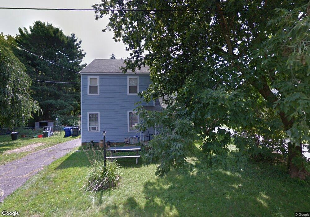
36 Juniper Dr Coventry, CT 06238
Estimated Value: $277,000 - $352,000
4
Beds
1
Bath
1,426
Sq Ft
$217/Sq Ft
Est. Value
About This Home
This home is located at 36 Juniper Dr, Coventry, CT 06238 and is currently estimated at $309,339, approximately $216 per square foot. 36 Juniper Dr is a home located in Tolland County with nearby schools including George Hersey Robertson School, Coventry Grammar School, and Capt. Nathan Hale School.
Ownership History
Date
Name
Owned For
Owner Type
Purchase Details
Closed on
Aug 20, 2001
Sold by
Hatt Michael
Bought by
Mayer Brian and Mayer Barbara
Current Estimated Value
Purchase Details
Closed on
Mar 20, 1992
Sold by
Gerakaris Catherine
Bought by
Hato Michael
Purchase Details
Closed on
Sep 7, 1988
Sold by
Moe David
Bought by
Gerakaris Catherine
Create a Home Valuation Report for This Property
The Home Valuation Report is an in-depth analysis detailing your home's value as well as a comparison with similar homes in the area
Home Values in the Area
Average Home Value in this Area
Purchase History
| Date | Buyer | Sale Price | Title Company |
|---|---|---|---|
| Mayer Brian | $106,900 | -- | |
| Mayer Brian | $106,900 | -- | |
| Hato Michael | $105,000 | -- | |
| Gerakaris Catherine | $115,000 | -- |
Source: Public Records
Mortgage History
| Date | Status | Borrower | Loan Amount |
|---|---|---|---|
| Closed | Gerakaris Catherine | $56,300 | |
| Open | Gerakaris Catherine | $185,000 | |
| Closed | Gerakaris Catherine | $111,052 |
Source: Public Records
Tax History
| Year | Tax Paid | Tax Assessment Tax Assessment Total Assessment is a certain percentage of the fair market value that is determined by local assessors to be the total taxable value of land and additions on the property. | Land | Improvement |
|---|---|---|---|---|
| 2025 | $4,222 | $177,700 | $45,200 | $132,500 |
| 2024 | $3,271 | $98,200 | $37,400 | $60,800 |
| 2023 | $3,117 | $98,200 | $37,400 | $60,800 |
| 2022 | $3,059 | $98,200 | $37,400 | $60,800 |
| 2021 | $3,059 | $98,200 | $37,400 | $60,800 |
| 2020 | $3,061 | $98,200 | $37,400 | $60,800 |
| 2019 | $3,159 | $98,100 | $37,400 | $60,700 |
| 2018 | $3,410 | $105,900 | $37,400 | $68,500 |
| 2017 | $3,389 | $105,900 | $37,400 | $68,500 |
| 2016 | $3,304 | $105,900 | $37,400 | $68,500 |
| 2015 | $3,304 | $105,900 | $37,400 | $68,500 |
| 2014 | $3,419 | $120,100 | $45,300 | $74,800 |
Source: Public Records
Map
Nearby Homes
- 198 Forest Rd
- 0 Woodland Rd
- 17 Ireland Dr
- 0 Hinkel Mae Dr
- 27 Fox Trail
- 152 Cheney Ln
- 550 High St
- 498 Root Rd
- 0 Daly Rd Unit 24146464
- 2478 Main St
- 55 Whites Hill Rd
- 17 Route 6
- 103 S Street Extension
- 106 S Street Extension
- 0 Wheeling Rd Unit 24116879
- 127 U S 6
- 0 Skinner Hill Rd Unit 24077239
- 811 Pucker St
- 457 Stafford Rd
- 864 Boston Turnpike
Your Personal Tour Guide
Ask me questions while you tour the home.