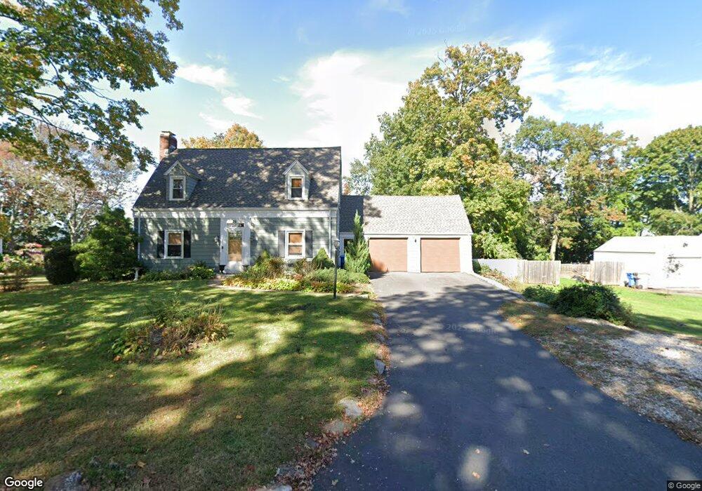
36 Lancaster Rd Bristol, CT 06010
Forestville NeighborhoodEstimated Value: $311,000 - $354,000
3
Beds
2
Baths
1,556
Sq Ft
$211/Sq Ft
Est. Value
About This Home
This home is located at 36 Lancaster Rd, Bristol, CT 06010 and is currently estimated at $328,172, approximately $210 per square foot. 36 Lancaster Rd is a home located in Hartford County with nearby schools including Northeast Middle School, Bristol Eastern High School, and St Matthew School.
Ownership History
Date
Name
Owned For
Owner Type
Purchase Details
Closed on
Nov 16, 2015
Sold by
Guzzo Signe H
Bought by
Guzzo Diana
Current Estimated Value
Purchase Details
Closed on
May 19, 2003
Sold by
Fenn Arthur B and Fenn Deborah J
Bought by
Wishart Michael R
Create a Home Valuation Report for This Property
The Home Valuation Report is an in-depth analysis detailing your home's value as well as a comparison with similar homes in the area
Home Values in the Area
Average Home Value in this Area
Purchase History
| Date | Buyer | Sale Price | Title Company |
|---|---|---|---|
| Guzzo Diana | -- | -- | |
| Wishart Michael R | $160,000 | -- |
Source: Public Records
Mortgage History
| Date | Status | Borrower | Loan Amount |
|---|---|---|---|
| Open | Wishart Michael R | $136,600 | |
| Previous Owner | Wishart Michael R | $149,542 |
Source: Public Records
Tax History
| Year | Tax Paid | Tax Assessment Tax Assessment Total Assessment is a certain percentage of the fair market value that is determined by local assessors to be the total taxable value of land and additions on the property. | Land | Improvement |
|---|---|---|---|---|
| 2025 | $5,625 | $166,670 | $48,440 | $118,230 |
| 2024 | $5,282 | $165,830 | $48,440 | $117,390 |
| 2023 | $5,033 | $165,830 | $48,440 | $117,390 |
| 2022 | $4,757 | $124,040 | $39,340 | $84,700 |
| 2021 | $4,757 | $124,040 | $39,340 | $84,700 |
| 2020 | $4,757 | $124,040 | $39,340 | $84,700 |
| 2019 | $4,720 | $124,040 | $39,340 | $84,700 |
| 2018 | $4,575 | $124,040 | $39,340 | $84,700 |
| 2017 | $4,025 | $111,720 | $34,230 | $77,490 |
| 2016 | $4,025 | $111,720 | $34,230 | $77,490 |
| 2015 | $3,867 | $111,720 | $34,230 | $77,490 |
| 2014 | $3,867 | $111,720 | $34,230 | $77,490 |
Source: Public Records
Map
Nearby Homes
- 81 Lancaster Rd
- 20 Westchester Dr
- 941 Farmington Ave
- 55 Beths Ave Unit 77
- 79 Beths Ave Unit 100
- 66 Beths Ave Unit 15
- 10 Pine Ct
- 3 Sandra St
- 97 Jacqueline Dr
- 1325 Farmington Ave Unit 52
- 64 Fanway Ave
- 179 Mark St
- 35 Jasmine St
- 30 Adeline Ave
- 206 Burton St
- 102 Renee St
- 46 Vance Rd
- 135 Jerome Ave
- 63 Jerome Ave
- 475 Mix St
- 24 Lancaster Rd
- 18 Lancaster Rd
- 21 Lancaster Rd
- 10 Lancaster Rd
- 5 Harper Ct
- 19 Harper Ct
- 50 Lancaster Rd
- 60 Lancaster Rd
- 55 Lancaster Rd
- 659 Stafford Ave
- 1022 Farmington Ave
- 1010 Farmington Ave
- 1028 Farmington Ave
- 687 Stafford Ave
- 53 Lancaster Rd
- 54 Lancaster Rd
- 657 Stafford Ave
- 1004 Farmington Ave
- 21 Harper Ct
- 661 Stafford Ave
Your Personal Tour Guide
Ask me questions while you tour the home.