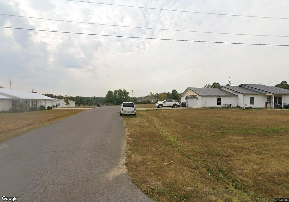
36 Landon Ln Murray, KY 42071
Estimated Value: $153,399 - $194,000
2
Beds
1
Bath
1,000
Sq Ft
$170/Sq Ft
Est. Value
About This Home
This home is located at 36 Landon Ln, Murray, KY 42071 and is currently estimated at $170,100, approximately $170 per square foot. 36 Landon Ln is a home located in Calloway County with nearby schools including North Calloway Elementary School, Calloway County Middle School, and Calloway County High School.
Ownership History
Date
Name
Owned For
Owner Type
Purchase Details
Closed on
Oct 6, 2011
Sold by
Stanger Ryan and Stanger Sarah
Bought by
Cope Todd B and Cope Candace M
Current Estimated Value
Home Financials for this Owner
Home Financials are based on the most recent Mortgage that was taken out on this home.
Original Mortgage
$107,500
Outstanding Balance
$73,672
Interest Rate
4.2%
Mortgage Type
New Conventional
Estimated Equity
$96,428
Purchase Details
Closed on
Aug 26, 2008
Sold by
Stewart Brian L and Stewart Regina
Bought by
Stanger Ryan
Home Financials for this Owner
Home Financials are based on the most recent Mortgage that was taken out on this home.
Original Mortgage
$70,000
Interest Rate
6.48%
Mortgage Type
Purchase Money Mortgage
Create a Home Valuation Report for This Property
The Home Valuation Report is an in-depth analysis detailing your home's value as well as a comparison with similar homes in the area
Home Values in the Area
Average Home Value in this Area
Purchase History
| Date | Buyer | Sale Price | Title Company |
|---|---|---|---|
| Cope Todd B | $100,000 | None Available | |
| Stanger Ryan | $60,000 | None Available |
Source: Public Records
Mortgage History
| Date | Status | Borrower | Loan Amount |
|---|---|---|---|
| Open | Cope Todd B | $107,500 | |
| Previous Owner | Stanger Ryan | $70,000 |
Source: Public Records
Tax History Compared to Growth
Tax History
| Year | Tax Paid | Tax Assessment Tax Assessment Total Assessment is a certain percentage of the fair market value that is determined by local assessors to be the total taxable value of land and additions on the property. | Land | Improvement |
|---|---|---|---|---|
| 2024 | $988 | $110,000 | $0 | $0 |
| 2023 | $1,016 | $110,000 | $0 | $0 |
| 2022 | $1,037 | $110,000 | $0 | $0 |
| 2021 | $1,056 | $110,000 | $0 | $0 |
| 2020 | $1,040 | $110,000 | $0 | $0 |
| 2019 | $1,009 | $110,000 | $0 | $0 |
| 2018 | $888 | $100,000 | $0 | $0 |
| 2017 | $863 | $100,000 | $0 | $0 |
| 2016 | $854 | $100,000 | $0 | $0 |
| 2015 | $472 | $100,000 | $0 | $0 |
| 2011 | $472 | $60,000 | $0 | $0 |
Source: Public Records
Map
Nearby Homes
- 2809 W Fork Rd
- 000 Spring Rd
- 206 Metcalf Ln
- 000 North Dr
- 445 John Purdom Dr
- Lot 17 Jordyn Bailey Rd
- 1783 Radio Rd
- 202 John Purdom Dr
- 1515 Boggess Dr
- 0 Backusburg Rd
- 4823 Kirksey Rd
- 0 Magness Rd
- 0 Beach Rd
- 0 U S 641 N
- 363 Grant Rd
- 0 Wadesboro Rd
- 0000 Brinn Rd
- 1536 Almo Rd
- 35 Wadesboro Rd
- 1087 Poor Farm Rd