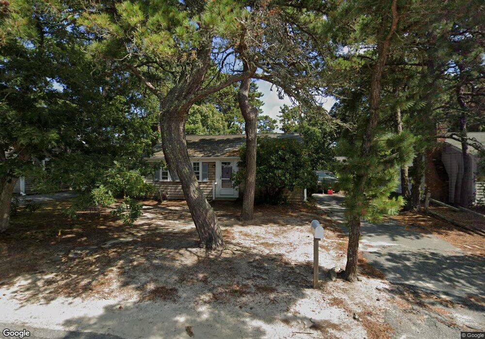
36 Lawrence Rd Dennis Port, MA 02639
Dennis Port NeighborhoodEstimated Value: $492,000 - $561,896
2
Beds
1
Bath
888
Sq Ft
$606/Sq Ft
Est. Value
About This Home
This home is located at 36 Lawrence Rd, Dennis Port, MA 02639 and is currently estimated at $537,724, approximately $605 per square foot. 36 Lawrence Rd is a home located in Barnstable County with nearby schools including Dennis-Yarmouth Regional High School and St. Pius X. School.
Ownership History
Date
Name
Owned For
Owner Type
Purchase Details
Closed on
Jun 30, 2025
Sold by
Dw Solutions Inc
Bought by
Wasnewsky Walter J and Wasnewsky Jeannette E
Current Estimated Value
Purchase Details
Closed on
Aug 21, 2024
Sold by
Morrison Ellyn
Bought by
Dw Solutions Inc
Purchase Details
Closed on
Nov 22, 1985
Bought by
Morrison Donald C and Morrison Ellyn
Create a Home Valuation Report for This Property
The Home Valuation Report is an in-depth analysis detailing your home's value as well as a comparison with similar homes in the area
Home Values in the Area
Average Home Value in this Area
Purchase History
| Date | Buyer | Sale Price | Title Company |
|---|---|---|---|
| Wasnewsky Walter J | $550,000 | -- | |
| Dw Solutions Inc | $425,000 | None Available | |
| Dw Solutions Inc | $425,000 | None Available | |
| Dw Solutions Inc | $425,000 | None Available | |
| Morrison Donald C | $115,000 | -- |
Source: Public Records
Tax History Compared to Growth
Tax History
| Year | Tax Paid | Tax Assessment Tax Assessment Total Assessment is a certain percentage of the fair market value that is determined by local assessors to be the total taxable value of land and additions on the property. | Land | Improvement |
|---|---|---|---|---|
| 2025 | $2,148 | $496,000 | $207,400 | $288,600 |
| 2024 | $1,993 | $454,100 | $199,500 | $254,600 |
| 2023 | $1,928 | $412,800 | $181,300 | $231,500 |
| 2022 | $1,877 | $335,200 | $163,400 | $171,800 |
| 2021 | $5,113 | $323,500 | $183,000 | $140,500 |
| 2020 | $5,757 | $291,000 | $160,100 | $130,900 |
| 2019 | $9,546 | $274,800 | $157,000 | $117,800 |
| 2018 | $5,167 | $256,400 | $149,500 | $106,900 |
| 2017 | $9,436 | $242,300 | $138,800 | $103,500 |
| 2016 | $1,540 | $235,800 | $149,500 | $86,300 |
| 2015 | $1,509 | $235,800 | $149,500 | $86,300 |
| 2014 | $1,361 | $214,400 | $128,100 | $86,300 |
Source: Public Records
Map
Nearby Homes
- 80 Michaels Ave
- 37 Ocean Dr Unit 2
- 64 Beaten Rd
- 112 Old Wharf Rd Unit E4
- 112 Old Wharf Rd Unit E1
- 31 Easy St
- 120 Old Wharf Rd Unit 11
- 154 Old Wharf Rd Unit 26
- 154 Old Wharf Rd Unit 14
- 19 Standish Way
- 61 Trotters Ln
- 22 Wixon Rd
- 6 Baker Way
- 217 Old Wharf Rd Unit 64
- 12 Spoonbill Rd
- 15 Woodside Park Rd
- 4 Coffey Ln
- 71 Main St
- 241 Old Wharf Rd Unit 82
- 241 Old Wharf Rd Unit 127
- 34 Lawrence Rd
- 40 Lawrence Rd
- 31 Polly Fisk Ln
- 30 Lawrence Rd
- 42 Lawrence Rd
- 25 Polly Fisk Ln
- 37 Lawrence Rd
- 39 Lawrence Rd
- 28 Lawrence Rd
- 43 Lawrence Rd
- 37 Polly Fisk Ln
- 46 Lawrence Rd
- 32 Polly Fisk Ln
- 45 Lawrence Rd
- 29 Lawrence Rd
- 24 Lawrence Rd
- 48 Lawrence Rd
- 38 Polly Fisk Ln
- 49 Lawrence Rd
- 13 Nipigon Way E