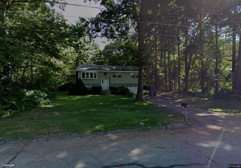
36 Lois Ln Billerica, MA 01821
Estimated Value: $635,000 - $737,000
3
Beds
2
Baths
1,649
Sq Ft
$405/Sq Ft
Est. Value
About This Home
This home is located at 36 Lois Ln, Billerica, MA 01821 and is currently estimated at $667,934, approximately $405 per square foot. 36 Lois Ln is a home located in Middlesex County with nearby schools including Billerica Memorial High School.
Ownership History
Date
Name
Owned For
Owner Type
Purchase Details
Closed on
Aug 1, 1997
Sold by
Est Hoikala Jean E and Hoikala Karen A
Bought by
Hoikala Christian A
Current Estimated Value
Home Financials for this Owner
Home Financials are based on the most recent Mortgage that was taken out on this home.
Original Mortgage
$130,000
Outstanding Balance
$19,503
Interest Rate
7.55%
Mortgage Type
Purchase Money Mortgage
Estimated Equity
$648,431
Create a Home Valuation Report for This Property
The Home Valuation Report is an in-depth analysis detailing your home's value as well as a comparison with similar homes in the area
Home Values in the Area
Average Home Value in this Area
Purchase History
| Date | Buyer | Sale Price | Title Company |
|---|---|---|---|
| Hoikala Christian A | $150,000 | -- |
Source: Public Records
Mortgage History
| Date | Status | Borrower | Loan Amount |
|---|---|---|---|
| Open | Hoikala Christian A | $130,000 |
Source: Public Records
Tax History Compared to Growth
Tax History
| Year | Tax Paid | Tax Assessment Tax Assessment Total Assessment is a certain percentage of the fair market value that is determined by local assessors to be the total taxable value of land and additions on the property. | Land | Improvement |
|---|---|---|---|---|
| 2025 | $6,673 | $586,900 | $329,900 | $257,000 |
| 2024 | $6,162 | $545,800 | $319,400 | $226,400 |
| 2023 | $6,034 | $508,300 | $290,700 | $217,600 |
| 2022 | $5,539 | $438,200 | $248,400 | $189,800 |
| 2021 | $5,686 | $402,100 | $218,100 | $184,000 |
| 2020 | $5,113 | $393,600 | $209,600 | $184,000 |
| 2019 | $5,151 | $382,100 | $209,600 | $172,500 |
| 2018 | $4,940 | $348,100 | $186,300 | $161,800 |
| 2017 | $4,674 | $331,700 | $184,400 | $147,300 |
| 2016 | $4,629 | $327,400 | $180,100 | $147,300 |
| 2015 | $4,521 | $322,000 | $174,700 | $147,300 |
| 2014 | $4,573 | $320,000 | $169,200 | $150,800 |
Source: Public Records
Map
Nearby Homes
- 37 Porter St
- 142 Baldwin Rd
- 15 Governor Peabody Rd
- 1 Purcell Dr
- 95 Bellflower Rd
- 3 Primrose Rd
- 19 Dustin Young Ln
- 10 Charnstaff Ln Unit 204
- 133 Salem Rd
- 22 Kenmar Dr Unit 194Y
- 14 Kenmar Dr Unit 111
- 11 Edgeworth St
- 405 Boston Rd Unit 2
- 396 Boston Rd Unit 103
- 91 Pond St
- 31 Harjean Rd
- 2801 Pouliot Place
- 30 Wyman Rd
- LOT 54B Beverly Rd
- 2 Karen Cir Unit 2