36 Lord Rd Westport Island, ME 04578
Estimated Value: $459,534 - $795,000
1
Bed
--
Bath
2,022
Sq Ft
$311/Sq Ft
Est. Value
About This Home
This home is located at 36 Lord Rd, Westport Island, ME 04578 and is currently estimated at $627,884, approximately $310 per square foot. 36 Lord Rd is a home with nearby schools including Wiscasset Christian Academy.
Create a Home Valuation Report for This Property
The Home Valuation Report is an in-depth analysis detailing your home's value as well as a comparison with similar homes in the area
Home Values in the Area
Average Home Value in this Area
Tax History Compared to Growth
Tax History
| Year | Tax Paid | Tax Assessment Tax Assessment Total Assessment is a certain percentage of the fair market value that is determined by local assessors to be the total taxable value of land and additions on the property. | Land | Improvement |
|---|---|---|---|---|
| 2024 | $2,382 | $321,900 | $160,430 | $161,470 |
| 2023 | $2,108 | $321,900 | $160,430 | $161,470 |
| 2022 | $2,190 | $263,852 | $131,500 | $132,352 |
| 2021 | $2,084 | $263,852 | $131,500 | $132,352 |
| 2020 | $2,137 | $263,852 | $131,500 | $132,352 |
| 2019 | $1,971 | $263,852 | $131,500 | $132,352 |
| 2018 | $1,741 | $263,852 | $131,500 | $132,352 |
| 2016 | $1,900 | $263,852 | $131,500 | $132,352 |
| 2014 | $2,293 | $305,391 | $0 | $0 |
| 2013 | $2,367 | $305,391 | $200,000 | $105,391 |
Source: Public Records
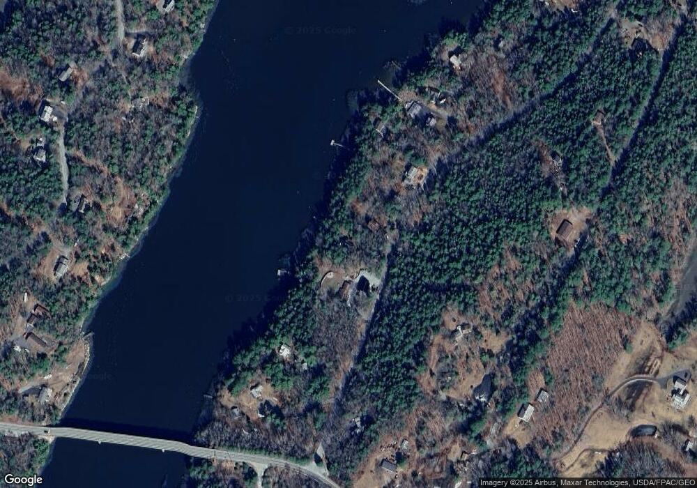
Map
Nearby Homes
- 91 Lord Rd
- 285 Birch Point Rd Unit 11
- 27 Doggett Rd
- 17 Lester Rd
- 114 Fort Rd
- 52 Eddy Rd
- 00 Maine 27
- 67 Village Way Unit 505
- 2 Ready Point Rd
- 304 Eddy Rd Unit 216
- 40 Old Bath Rd
- 11 Island Ln Unit 1
- 306 Eddy Rd Unit 310
- 306 Eddy Rd Unit 307
- 306 Eddy Rd Unit 309
- 200 Main St
- 50 Bunchberry Ln
- 34 Bunchberry Ln
- 18 High St
- 83 Bath Rd