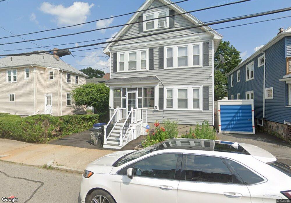
36 Lorna Rd Unit 38 Mattapan, MA 02126
Southern Mattapan NeighborhoodEstimated Value: $692,890 - $827,000
5
Beds
2
Baths
2,433
Sq Ft
$320/Sq Ft
Est. Value
About This Home
This home is located at 36 Lorna Rd Unit 38, Mattapan, MA 02126 and is currently estimated at $779,223, approximately $320 per square foot. 36 Lorna Rd Unit 38 is a home located in Suffolk County with nearby schools including Berea Seventh-day Adventist Academy.
Ownership History
Date
Name
Owned For
Owner Type
Purchase Details
Closed on
Jun 28, 2016
Sold by
Scott Nancy
Bought by
Nancy Scott T
Current Estimated Value
Home Financials for this Owner
Home Financials are based on the most recent Mortgage that was taken out on this home.
Original Mortgage
$83,000
Outstanding Balance
$8,102
Interest Rate
3.57%
Mortgage Type
Unknown
Estimated Equity
$771,121
Purchase Details
Closed on
Nov 5, 2015
Sold by
Scott Nancy
Bought by
Nancy Scott T
Purchase Details
Closed on
Mar 21, 2006
Sold by
Phillip Ansley and Scott Nancy
Bought by
Scott Nancy L
Home Financials for this Owner
Home Financials are based on the most recent Mortgage that was taken out on this home.
Original Mortgage
$123,500
Interest Rate
6.27%
Mortgage Type
Purchase Money Mortgage
Create a Home Valuation Report for This Property
The Home Valuation Report is an in-depth analysis detailing your home's value as well as a comparison with similar homes in the area
Home Values in the Area
Average Home Value in this Area
Purchase History
| Date | Buyer | Sale Price | Title Company |
|---|---|---|---|
| Nancy Scott T | -- | -- | |
| Scott Nancy | -- | -- | |
| Nancy Scott T | -- | -- | |
| Scott Nancy L | -- | -- |
Source: Public Records
Mortgage History
| Date | Status | Borrower | Loan Amount |
|---|---|---|---|
| Open | Scott Nancy | $83,000 | |
| Previous Owner | Scott Nancy L | $123,500 |
Source: Public Records
Tax History Compared to Growth
Tax History
| Year | Tax Paid | Tax Assessment Tax Assessment Total Assessment is a certain percentage of the fair market value that is determined by local assessors to be the total taxable value of land and additions on the property. | Land | Improvement |
|---|---|---|---|---|
| 2025 | $6,829 | $589,700 | $164,600 | $425,100 |
| 2024 | $6,326 | $580,400 | $163,400 | $417,000 |
| 2023 | $5,771 | $537,300 | $151,300 | $386,000 |
| 2022 | $5,846 | $537,300 | $151,300 | $386,000 |
| 2021 | $5,409 | $506,900 | $142,700 | $364,200 |
| 2020 | $4,749 | $449,700 | $133,300 | $316,400 |
| 2019 | $4,229 | $401,200 | $100,800 | $300,400 |
| 2018 | $3,966 | $378,400 | $100,800 | $277,600 |
| 2017 | $3,853 | $363,800 | $100,800 | $263,000 |
| 2016 | $3,740 | $340,000 | $100,800 | $239,200 |
| 2015 | $3,472 | $286,700 | $87,400 | $199,300 |
| 2014 | $3,101 | $246,500 | $87,400 | $159,100 |
Source: Public Records
Map
Nearby Homes
- 30 Glenhill Rd
- 15-17 W Selden St
- 808 Morton St Unit 3
- 124 Selden St
- 139 Selden St
- 18 Astoria St
- 32 Crowell St
- 23 Maryknoll St
- 147 Fairmount St
- 44 Evans St
- 73 Stanton St
- 157 Delhi St
- 10 Sutton St
- 68 Mascot St
- 5 Sutton St
- 5 Sutton St Unit 3B
- 32 Violet St
- 84-86 Codman Hill Ave
- 251 Norfolk St Unit A
- 567B Norfolk St
- 40 Lorna Rd
- 40 Lorna Rd Unit 2
- 35 Tiverton Rd
- 35 Tiverton Rd Unit 2
- 35 Tiverton Rd Unit 1
- 7 Tiverton Rd
- 46 Lorna Rd
- 11 Tiverton Rd Unit 11A
- 5 Stow Rd
- 9 Stow Rd
- 15 Tiverton Rd Unit 17
- 15-17 Tiverton Rd
- 48 Lorna Rd
- 48 Lorna Rd Unit 1
- 11 Stow Rd
- 37 Lorna Rd
- 37 Lorna Rd Unit 2
- 33 Lorna Rd
- 41 Lorna Rd
- 15 Stow Rd