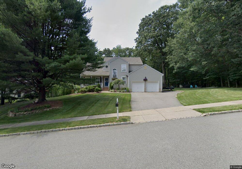
36 Lowry Ave Wharton, NJ 07885
Estimated Value: $579,000 - $736,000
--
Bed
--
Bath
2,117
Sq Ft
$307/Sq Ft
Est. Value
About This Home
This home is located at 36 Lowry Ave, Wharton, NJ 07885 and is currently estimated at $649,279, approximately $306 per square foot. 36 Lowry Ave is a home located in Morris County with nearby schools including Marie V. Duffy Elementary School and A C Mac Kinnon Middle School.
Ownership History
Date
Name
Owned For
Owner Type
Purchase Details
Closed on
Oct 30, 1996
Sold by
Cargo Construction Inc
Bought by
Machuga Stephen R and Machuga Kathleen
Current Estimated Value
Home Financials for this Owner
Home Financials are based on the most recent Mortgage that was taken out on this home.
Original Mortgage
$175,000
Outstanding Balance
$17,262
Interest Rate
8.1%
Estimated Equity
$632,017
Create a Home Valuation Report for This Property
The Home Valuation Report is an in-depth analysis detailing your home's value as well as a comparison with similar homes in the area
Home Values in the Area
Average Home Value in this Area
Purchase History
| Date | Buyer | Sale Price | Title Company |
|---|---|---|---|
| Machuga Stephen R | $231,400 | -- |
Source: Public Records
Mortgage History
| Date | Status | Borrower | Loan Amount |
|---|---|---|---|
| Open | Machuga Stephen R | $175,000 |
Source: Public Records
Tax History Compared to Growth
Tax History
| Year | Tax Paid | Tax Assessment Tax Assessment Total Assessment is a certain percentage of the fair market value that is determined by local assessors to be the total taxable value of land and additions on the property. | Land | Improvement |
|---|---|---|---|---|
| 2025 | $14,647 | $526,400 | $175,500 | $350,900 |
| 2024 | $13,775 | $495,000 | $170,500 | $324,500 |
| 2023 | $13,775 | $460,100 | $160,500 | $299,600 |
| 2022 | $12,875 | $438,500 | $160,500 | $278,000 |
| 2021 | $12,160 | $422,000 | $160,500 | $261,500 |
| 2020 | $12,613 | $405,700 | $155,500 | $250,200 |
| 2019 | $12,160 | $394,300 | $155,500 | $238,800 |
| 2018 | $11,623 | $384,600 | $155,500 | $229,100 |
| 2017 | $11,468 | $375,400 | $150,500 | $224,900 |
| 2016 | $10,722 | $376,600 | $150,500 | $226,100 |
| 2015 | $11,313 | $374,100 | $150,500 | $223,600 |
| 2014 | $10,877 | $355,800 | $145,500 | $210,300 |
Source: Public Records
Map
Nearby Homes
- 17 Anderson Rd
- 10 Fernandez Ln
- 37 Garden Ave
- 8 Baker Ave
- 62 U S 46
- 0 U S 46
- 42 Fern Ave
- 00 5th Ave
- 42 5th Ave
- 18 Wabash Ave
- 417 W Black Well St Ab
- 29 Drake Ave
- 8 N Elk Ave
- 66 Clark St
- 50 Oakwood Ave
- 137 Hurd St
- 301 W Blackwell St Unit 2
- 120 Park Heights Ave
- 19123 Westview Unit 19123
- 18116 Westview Unit 116E
- 34 Lowry Ave
- 33 Lowry Ave
- 30 Lowry Ave
- 35 Anderson Rd
- 34 Anderson Rd
- 36 Sherwood Place
- 34 Sherwood Place
- 33 Anderson Rd
- 29 Lowry Ave
- 32 Sherwood Place
- 30 Anderson Rd
- 31 Sherwood Place
- 27 Lowry Ave
- 32 Anderson Rd
- 28 Anderson Rd
- 30 Sherwood Place
- 29 Sherwood Place
- 24 Lowry Ave
- 25 Lowry Ave
- 26 Anderson Rd