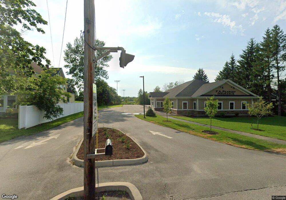
36 Main Rd N Hampden, ME 04444
Estimated Value: $526,000 - $1,025,000
4
Beds
3
Baths
2,360
Sq Ft
$340/Sq Ft
Est. Value
About This Home
This home is located at 36 Main Rd N, Hampden, ME 04444 and is currently estimated at $801,780, approximately $339 per square foot. 36 Main Rd N is a home located in Penobscot County.
Ownership History
Date
Name
Owned For
Owner Type
Purchase Details
Closed on
Apr 7, 2016
Sold by
Merry Elwood L
Bought by
Fa Peabody Co
Current Estimated Value
Purchase Details
Closed on
Dec 2, 2015
Sold by
Grant Michael P and Grant Sarahbeth
Bought by
Merry Elwood L
Purchase Details
Closed on
May 23, 2013
Sold by
Michaud Danielle K
Bought by
Hall Darren M
Purchase Details
Closed on
Jul 23, 2009
Sold by
Hall Darren M
Bought by
Mushero Jenna-Nickole J
Home Financials for this Owner
Home Financials are based on the most recent Mortgage that was taken out on this home.
Original Mortgage
$50,000
Interest Rate
5.58%
Mortgage Type
Purchase Money Mortgage
Create a Home Valuation Report for This Property
The Home Valuation Report is an in-depth analysis detailing your home's value as well as a comparison with similar homes in the area
Home Values in the Area
Average Home Value in this Area
Purchase History
| Date | Buyer | Sale Price | Title Company |
|---|---|---|---|
| Fa Peabody Co | -- | -- | |
| Merry Elwood L | -- | -- | |
| Hall Darren M | -- | -- | |
| Mushero Jenna-Nickole J | -- | -- |
Source: Public Records
Mortgage History
| Date | Status | Borrower | Loan Amount |
|---|---|---|---|
| Previous Owner | Mushero Jenna-Nickole J | $50,000 | |
| Previous Owner | Mushero Jenna-Nickole J | $25,000 |
Source: Public Records
Tax History Compared to Growth
Tax History
| Year | Tax Paid | Tax Assessment Tax Assessment Total Assessment is a certain percentage of the fair market value that is determined by local assessors to be the total taxable value of land and additions on the property. | Land | Improvement |
|---|---|---|---|---|
| 2024 | $12,435 | $794,600 | $118,500 | $676,100 |
| 2023 | $12,513 | $650,000 | $96,900 | $553,100 |
| 2022 | $11,464 | $553,800 | $82,600 | $471,200 |
| 2021 | $11,464 | $553,800 | $82,600 | $471,200 |
| 2020 | $11,298 | $553,800 | $82,600 | $471,200 |
| 2019 | $6,438 | $315,600 | $80,200 | $235,400 |
| 2018 | $2,266 | $115,600 | $63,600 | $52,000 |
| 2017 | $2,127 | $115,600 | $63,600 | $52,000 |
| 2016 | $2,111 | $116,000 | $64,000 | $52,000 |
| 2015 | $2,275 | $130,000 | $55,000 | $75,000 |
| 2014 | $2,275 | $130,000 | $55,300 | $74,700 |
| 2013 | $2,165 | $130,000 | $55,300 | $74,700 |
Source: Public Records
Map
Nearby Homes
- 69 Cottage St
- 12 Rowell Rd
- 20 Coldbrook Rd
- 24 Coldbrook Rd
- 180 Main Rd N
- 10 Independence Ave
- 0 Constitution
- 59 Summer St
- 25 Summer St
- 45 Stearns Farm Rd
- 7 Summer St
- 41 Stoneybrook Rd
- 63 Pleasant St
- 34 Stoneybrook Rd
- 128 Mayo Rd Unit D
- 128 Mayo Rd Unit K
- 164 Mayo Rd
- 38 Main Trail
- 31 Jays Way
- 304 Main Rd N