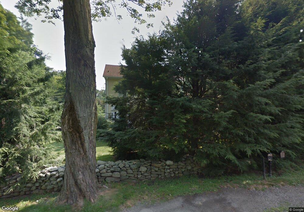
36 Maple Ave N Westport, CT 06880
Staples NeighborhoodEstimated Value: $1,621,000 - $2,298,000
About This Home
This home is located at 36 Maple Ave N, Westport, CT 06880 and is currently estimated at $1,866,796, approximately $682 per square foot. 36 Maple Ave N is a home located in Fairfield County with nearby schools including Long Lots School, Bedford Middle School, and Staples High School.
Ownership History
We collect this data history from publicly available records. To have your information removed, we recommend requesting removal directly through your county’s website.
Purchase Details
Purchase Details
Purchase Details
Home Values in the Area
Average Home Value in this Area
Purchase History
We collect this data history from publicly available records. To have your information removed, we recommend requesting removal directly through your county’s website.
| Date | Buyer | Sale Price | Title Company |
|---|---|---|---|
| $880,000 | -- | ||
| $880,000 | -- | ||
| $710,000 | -- | ||
| $710,000 | -- | ||
| $510,000 | -- | ||
| $510,000 | -- |
Mortgage History
We collect this data history from publicly available records. To have your information removed, we recommend requesting removal directly through your county’s website.
| Date | Status | Borrower | Loan Amount |
|---|---|---|---|
| Open | $645,000 | ||
| Closed | $200,000 |
Tax History
We collect this data history from publicly available records. To have your information removed, we recommend requesting removal directly through your county’s website.
| Year | Tax Paid | Tax Assessment Tax Assessment Total Assessment is a certain percentage of the fair market value that is determined by local assessors to be the total taxable value of land and additions on the property. | Land | Improvement |
|---|---|---|---|---|
| 2025 | $10,788 | $572,000 | $340,600 | $231,400 |
| 2024 | $10,651 | $572,000 | $340,600 | $231,400 |
| 2023 | $10,496 | $572,000 | $340,600 | $231,400 |
| 2022 | $10,336 | $572,000 | $340,600 | $231,400 |
| 2021 | $10,336 | $572,000 | $340,600 | $231,400 |
| 2020 | $11,505 | $688,500 | $332,700 | $355,800 |
| 2019 | $11,608 | $688,500 | $332,700 | $355,800 |
| 2018 | $11,608 | $688,500 | $332,700 | $355,800 |
| 2017 | $5,938 | $688,500 | $332,700 | $355,800 |
| 2016 | $11,608 | $688,500 | $332,700 | $355,800 |
| 2015 | $11,429 | $631,800 | $264,500 | $367,300 |
| 2014 | $11,334 | $631,800 | $264,500 | $367,300 |
Map
- 1 Coastal Ct
- 3 Bowling Ln
- 25 Old Rd
- 104 Harvest Commons Unit 104
- 36 Turkey Hill Rd N
- 7 High Gate Rd
- 1 Angora Rd
- 36 Maple Ave S
- 3 Keller Ln
- 7 Keller Ln
- 28 Bulkley Ave N
- 9 Sturges Hwy
- 1 Flower Farm Ln
- 10 Grist Mill Ln
- 32 Morningside Dr N
- 124 Hillandale Rd
- 48 Bayberry Ln
- 359 Greens Farms Rd
- 42 Anvill Rd
- 22 Sturges Commons
- 34 Maple Ave N
- 35 Maple Ave N
- 39 Maple Ave N
- 40 Maple Ave N
- 6 Old Orchard Rd
- 32 Maple Ave N
- 38 Maple Ave N
- 41 Maple Ave N
- 33 Maple Ave N
- 42 Maple Ave N
- 1 Hyde Ln
- 4 Old Orchard Rd
- 6 Hyde Ln
- 6 Hyde Ln Unit 6880
- 9 Old Orchard Rd
- 7 Old Orchard Rd
- 45 Maple Ave N
- 5 Old Orchard Rd
- 43 Maple Ave N
- 7 Forest Dr
Ask me questions while you tour the home.