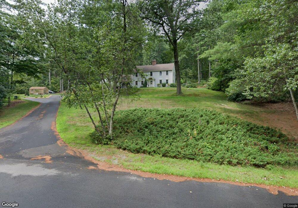
36 Meadow Dr Hollis, NH 03049
Hollis NeighborhoodEstimated Value: $767,138 - $920,000
4
Beds
3
Baths
2,913
Sq Ft
$295/Sq Ft
Est. Value
About This Home
This home is located at 36 Meadow Dr, Hollis, NH 03049 and is currently estimated at $860,285, approximately $295 per square foot. 36 Meadow Dr is a home with nearby schools including Hollis Primary School, Hollis Upper Elementary School, and Hollis-Brookline Middle School.
Ownership History
Date
Name
Owned For
Owner Type
Purchase Details
Closed on
Mar 22, 2019
Sold by
Angevine William S and Angevine Roxanne
Bought by
Angevine Ft
Current Estimated Value
Purchase Details
Closed on
Dec 2, 2002
Sold by
Baerthlein Michelle L
Bought by
Angevine William S and Angevine Roxanne
Home Financials for this Owner
Home Financials are based on the most recent Mortgage that was taken out on this home.
Original Mortgage
$210,000
Interest Rate
6.16%
Create a Home Valuation Report for This Property
The Home Valuation Report is an in-depth analysis detailing your home's value as well as a comparison with similar homes in the area
Home Values in the Area
Average Home Value in this Area
Purchase History
| Date | Buyer | Sale Price | Title Company |
|---|---|---|---|
| Angevine Ft | -- | -- | |
| Angevine William S | $327,600 | -- |
Source: Public Records
Mortgage History
| Date | Status | Borrower | Loan Amount |
|---|---|---|---|
| Previous Owner | Angevine William S | $100,000 | |
| Previous Owner | Angevine William S | $210,000 |
Source: Public Records
Tax History
| Year | Tax Paid | Tax Assessment Tax Assessment Total Assessment is a certain percentage of the fair market value that is determined by local assessors to be the total taxable value of land and additions on the property. | Land | Improvement |
|---|---|---|---|---|
| 2024 | $12,117 | $683,400 | $262,400 | $421,000 |
| 2023 | $11,385 | $683,400 | $262,400 | $421,000 |
| 2022 | $15,424 | $683,400 | $262,400 | $421,000 |
| 2021 | $9,893 | $435,800 | $170,500 | $265,300 |
| 2020 | $10,102 | $435,800 | $170,500 | $265,300 |
| 2019 | $10,067 | $435,800 | $170,500 | $265,300 |
| 2018 | $9,615 | $435,800 | $170,500 | $265,300 |
| 2017 | $7,322 | $417,900 | $137,000 | $280,900 |
| 2016 | $7,117 | $418,000 | $144,000 | $274,000 |
| 2015 | $9,622 | $418,000 | $144,000 | $274,000 |
| 2014 | $9,668 | $418,000 | $144,000 | $274,000 |
| 2013 | $9,539 | $418,000 | $144,000 | $274,000 |
Source: Public Records
Map
Nearby Homes
- 206 S Merrimack Rd
- 46-52-3 Witches Spring Rd
- 82 Truell Rd
- 32 Hickory Dr
- 447 Silver Lake Rd Unit A
- 447 Silver Lake Rd Unit B
- 449 Silver Lake Rd
- 47 S Merrimack Rd Unit Lot 47-44-1
- 3 Roedean Dr Unit UC101
- 4 Knights Bridge Dr Unit UI206
- 5 Blackstone Dr Unit 7
- 9 Blackstone Dr Unit U88
- 18 Dumaine Ave Unit C
- 7 Dumaine Ave Unit H
- 103 Jay Rd
- 5 Dumaine Ave Unit A
- 11 Erik St
- 10 Westborn Dr
- 47 Lamson Dr
- 1 Sunridge Way
Your Personal Tour Guide
Ask me questions while you tour the home.