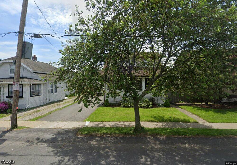
36 Menands Rd Menands, NY 12204
Estimated Value: $260,918 - $327,000
3
Beds
2
Baths
1,268
Sq Ft
$229/Sq Ft
Est. Value
About This Home
This home is located at 36 Menands Rd, Menands, NY 12204 and is currently estimated at $290,980, approximately $229 per square foot. 36 Menands Rd is a home located in Albany County with nearby schools including Menands School, KIPP Troy Prep High School, and Loudonville Christian School.
Ownership History
Date
Name
Owned For
Owner Type
Purchase Details
Closed on
Jun 15, 2021
Sold by
Lane Patrick J
Bought by
Gordon Shaina
Current Estimated Value
Purchase Details
Closed on
Jul 3, 2014
Sold by
Leslie Thomas F and Oakley Krista J
Bought by
Lane Patrick J
Home Financials for this Owner
Home Financials are based on the most recent Mortgage that was taken out on this home.
Original Mortgage
$184,891
Interest Rate
4.16%
Mortgage Type
VA
Purchase Details
Closed on
Jun 17, 2005
Sold by
Gunsalus Marilyn
Bought by
Leslie Thomas F
Create a Home Valuation Report for This Property
The Home Valuation Report is an in-depth analysis detailing your home's value as well as a comparison with similar homes in the area
Home Values in the Area
Average Home Value in this Area
Purchase History
| Date | Buyer | Sale Price | Title Company |
|---|---|---|---|
| Gordon Shaina | $227,000 | None Available | |
| Lane Patrick J | $181,000 | Chicago Title Insurance Co | |
| Leslie Thomas F | $149,000 | Michael Bouchard |
Source: Public Records
Mortgage History
| Date | Status | Borrower | Loan Amount |
|---|---|---|---|
| Previous Owner | Lane Patrick J | $184,891 |
Source: Public Records
Tax History
| Year | Tax Paid | Tax Assessment Tax Assessment Total Assessment is a certain percentage of the fair market value that is determined by local assessors to be the total taxable value of land and additions on the property. | Land | Improvement |
|---|---|---|---|---|
| 2024 | $3,552 | $84,600 | $16,900 | $67,700 |
| 2023 | $3,476 | $84,600 | $16,900 | $67,700 |
| 2022 | $3,431 | $84,600 | $16,900 | $67,700 |
| 2021 | $3,339 | $84,600 | $16,900 | $67,700 |
| 2020 | $3,303 | $84,600 | $16,900 | $67,700 |
| 2019 | $2,232 | $84,600 | $16,900 | $67,700 |
| 2018 | $3,163 | $84,600 | $16,900 | $67,700 |
| 2017 | $0 | $84,600 | $16,900 | $67,700 |
| 2016 | $3,034 | $84,600 | $16,900 | $67,700 |
| 2015 | -- | $84,600 | $16,900 | $67,700 |
| 2014 | -- | $76,600 | $15,300 | $61,300 |
Source: Public Records
Map
Nearby Homes
Your Personal Tour Guide
Ask me questions while you tour the home.