36 Miramar Ave Dennis Port, MA 02639
Dennis Port NeighborhoodEstimated Value: $691,000 - $1,573,000
3
Beds
2
Baths
1,201
Sq Ft
$983/Sq Ft
Est. Value
About This Home
This home is located at 36 Miramar Ave, Dennis Port, MA 02639 and is currently estimated at $1,180,189, approximately $982 per square foot. 36 Miramar Ave is a home located in Barnstable County with nearby schools including Dennis-Yarmouth Regional High School and St. Pius X. School.
Ownership History
Date
Name
Owned For
Owner Type
Purchase Details
Closed on
Feb 20, 2009
Sold by
Lawlor Joseph F and Lawlor Susan D
Bought by
Lawlor Barnstable Nt
Current Estimated Value
Purchase Details
Closed on
Jan 12, 1996
Sold by
Swanson Frank W and Swanson Maida G
Bought by
Lawlor Joseph F and Lawlor Susan D
Home Financials for this Owner
Home Financials are based on the most recent Mortgage that was taken out on this home.
Original Mortgage
$100,000
Interest Rate
7.31%
Mortgage Type
Purchase Money Mortgage
Create a Home Valuation Report for This Property
The Home Valuation Report is an in-depth analysis detailing your home's value as well as a comparison with similar homes in the area
Home Values in the Area
Average Home Value in this Area
Purchase History
| Date | Buyer | Sale Price | Title Company |
|---|---|---|---|
| Lawlor Barnstable Nt | -- | -- | |
| Lawlor Joseph F | $217,000 | -- |
Source: Public Records
Mortgage History
| Date | Status | Borrower | Loan Amount |
|---|---|---|---|
| Previous Owner | Lawlor Joseph F | $100,000 |
Source: Public Records
Tax History Compared to Growth
Tax History
| Year | Tax Paid | Tax Assessment Tax Assessment Total Assessment is a certain percentage of the fair market value that is determined by local assessors to be the total taxable value of land and additions on the property. | Land | Improvement |
|---|---|---|---|---|
| 2025 | $5,960 | $1,376,400 | $528,500 | $847,900 |
| 2024 | $5,830 | $1,328,000 | $508,300 | $819,700 |
| 2023 | $5,638 | $1,207,300 | $462,000 | $745,300 |
| 2022 | $5,458 | $974,600 | $416,200 | $558,400 |
| 2021 | $5,373 | $891,000 | $408,000 | $483,000 |
| 2020 | $5,266 | $863,200 | $408,000 | $455,200 |
| 2019 | $4,892 | $792,900 | $400,100 | $392,800 |
| 2018 | $4,820 | $760,300 | $380,800 | $379,500 |
| 2017 | $4,442 | $722,300 | $342,800 | $379,500 |
| 2016 | $4,300 | $658,500 | $335,200 | $323,300 |
| 2015 | $4,097 | $640,100 | $335,200 | $304,900 |
| 2014 | $4,003 | $630,400 | $335,200 | $295,200 |
Source: Public Records
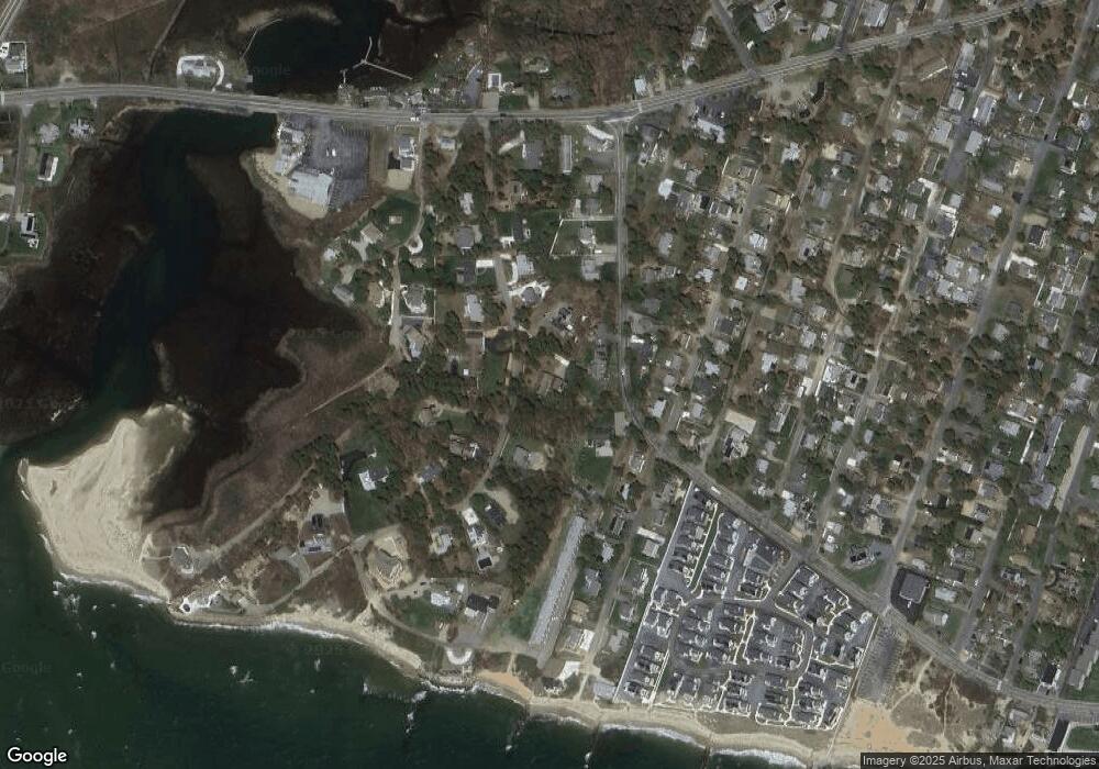
Map
Nearby Homes
- 37 Ocean Dr Unit 2
- 64 Beaten Rd
- 112 Old Wharf Rd Unit E4
- 112 Old Wharf Rd Unit E1
- 6 Baker Way
- 120 Old Wharf Rd Unit 11
- 154 Old Wharf Rd Unit 26
- 154 Old Wharf Rd Unit 14
- 80 Michaels Ave
- 61 Trotters Ln
- 217 Old Wharf Rd Unit 64
- 241 Old Wharf Rd Unit 82
- 241 Old Wharf Rd Unit 127
- 241 Old Wharf Rd Unit 90
- 31 Easy St
- 262 Old Wharf Rd Unit 67
- 262 Old Wharf Rd Unit 5
- 262 Old Wharf Rd Unit 5
- 262 Old Wharf Rd Unit 20
- 262 Old Wharf Rd Unit 87
- 9 Adams Ave
- 2 Shepard Rd
- 31 Old Wharf Rd
- 2 Adams Ave
- 37 Old Wharf Rd
- 37 Old Wharf Rd Unit 2
- 37 Old Wharf Rd Unit 1
- 37 Old Wharf Rd
- 48 Miramar Ave
- 37-R Old Wharf Rd
- 31 Miramar Ave
- 37A Old Wharf Rd
- 22 Miramar Ave
- 37-A Old Wharf Rd
- 30 Old Wharf Rd
- 23 Miramar Ave
- 43 Miramar Ave
- 25 Longell Rd
- 19 Old Wharf Rd
- 26 Old Wharf Rd