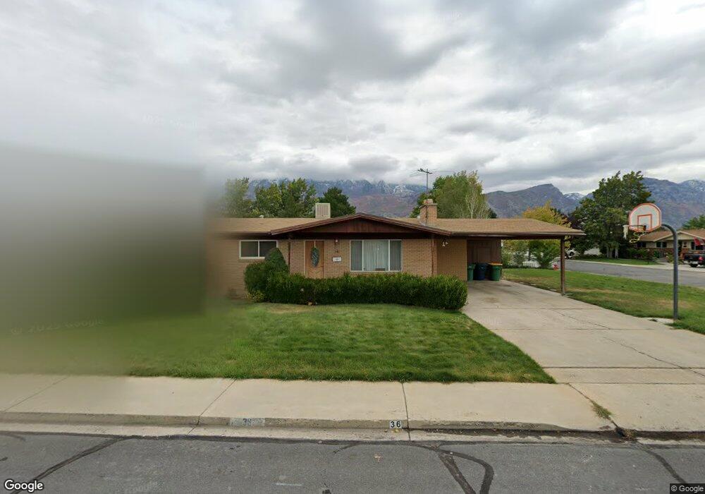
36 N 700 E Orem, UT 84097
Cascade NeighborhoodEstimated Value: $491,000 - $532,000
2
Beds
2
Baths
1,232
Sq Ft
$411/Sq Ft
Est. Value
About This Home
This home is located at 36 N 700 E, Orem, UT 84097 and is currently estimated at $506,482, approximately $411 per square foot. 36 N 700 E is a home located in Utah County with nearby schools including Cascade Elementary School, Canyon View Junior High School, and Orem High School.
Ownership History
Date
Name
Owned For
Owner Type
Purchase Details
Closed on
May 23, 2013
Sold by
Brousseau Michael J and Brousseau Tracy
Bought by
Brousseau Michael J and Brousseau Tracy A
Current Estimated Value
Home Financials for this Owner
Home Financials are based on the most recent Mortgage that was taken out on this home.
Original Mortgage
$192,706
Outstanding Balance
$135,938
Interest Rate
3.38%
Mortgage Type
New Conventional
Estimated Equity
$370,544
Purchase Details
Closed on
Oct 30, 2001
Sold by
Tedrow Gerald W and Tedrow Ina Lee B
Bought by
Brousseau Michael J and Brousseau Tracy
Home Financials for this Owner
Home Financials are based on the most recent Mortgage that was taken out on this home.
Original Mortgage
$162,943
Interest Rate
6.84%
Mortgage Type
FHA
Create a Home Valuation Report for This Property
The Home Valuation Report is an in-depth analysis detailing your home's value as well as a comparison with similar homes in the area
Home Values in the Area
Average Home Value in this Area
Purchase History
| Date | Buyer | Sale Price | Title Company |
|---|---|---|---|
| Brousseau Michael J | -- | First American Title Compan | |
| Brousseau Michael J | -- | Sundance Title Ins Agency |
Source: Public Records
Mortgage History
| Date | Status | Borrower | Loan Amount |
|---|---|---|---|
| Open | Brousseau Michael J | $192,706 | |
| Closed | Brousseau Michael J | $162,943 |
Source: Public Records
Tax History
| Year | Tax Paid | Tax Assessment Tax Assessment Total Assessment is a certain percentage of the fair market value that is determined by local assessors to be the total taxable value of land and additions on the property. | Land | Improvement |
|---|---|---|---|---|
| 2025 | $1,923 | $244,475 | -- | -- |
| 2024 | $1,923 | $235,125 | $0 | $0 |
| 2023 | $1,784 | $234,465 | $0 | $0 |
| 2022 | $1,953 | $248,655 | $0 | $0 |
| 2021 | $1,823 | $351,500 | $141,000 | $210,500 |
| 2020 | $1,684 | $319,200 | $112,800 | $206,400 |
| 2019 | $1,461 | $287,900 | $105,800 | $182,100 |
| 2018 | $1,437 | $270,700 | $102,200 | $168,500 |
| 2017 | $1,349 | $136,070 | $0 | $0 |
| 2016 | $1,314 | $122,265 | $0 | $0 |
| 2015 | $1,297 | $114,125 | $0 | $0 |
| 2014 | $1,237 | $108,350 | $0 | $0 |
Source: Public Records
Map
Nearby Homes
Your Personal Tour Guide
Ask me questions while you tour the home.