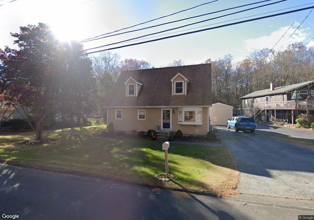
36 N Bridebrook Rd Niantic, CT 06357
Estimated Value: $334,000 - $582,000
2
Beds
2
Baths
1,685
Sq Ft
$256/Sq Ft
Est. Value
About This Home
This home is located at 36 N Bridebrook Rd, Niantic, CT 06357 and is currently estimated at $431,087, approximately $255 per square foot. 36 N Bridebrook Rd is a home located in New London County with nearby schools including East Lyme Middle School, East Lyme High School, and The Light House Voc-Ed Center.
Ownership History
Date
Name
Owned For
Owner Type
Purchase Details
Closed on
Dec 27, 2001
Sold by
Powers Robert Est
Bought by
Duthrie Jeffrey A and Duthrie Donna L
Current Estimated Value
Create a Home Valuation Report for This Property
The Home Valuation Report is an in-depth analysis detailing your home's value as well as a comparison with similar homes in the area
Home Values in the Area
Average Home Value in this Area
Purchase History
| Date | Buyer | Sale Price | Title Company |
|---|---|---|---|
| Duthrie Jeffrey A | $130,000 | -- | |
| Duthrie Jeffrey A | $130,000 | -- |
Source: Public Records
Mortgage History
| Date | Status | Borrower | Loan Amount |
|---|---|---|---|
| Open | Duthrie Jeffrey A | $239,000 | |
| Closed | Duthrie Jeffrey A | $258,400 | |
| Closed | Duthrie Jeffrey A | $240,000 | |
| Closed | Duthrie Jeffrey A | $126,000 |
Source: Public Records
Tax History
| Year | Tax Paid | Tax Assessment Tax Assessment Total Assessment is a certain percentage of the fair market value that is determined by local assessors to be the total taxable value of land and additions on the property. | Land | Improvement |
|---|---|---|---|---|
| 2025 | $5,862 | $209,300 | $79,450 | $129,850 |
| 2024 | $5,515 | $209,300 | $79,450 | $129,850 |
| 2023 | $5,207 | $209,300 | $79,450 | $129,850 |
| 2022 | $4,990 | $209,300 | $79,450 | $129,850 |
| 2021 | $4,436 | $155,610 | $75,460 | $80,150 |
| 2020 | $4,413 | $155,610 | $75,460 | $80,150 |
| 2019 | $4,387 | $155,610 | $75,460 | $80,150 |
| 2018 | $4,256 | $155,610 | $75,460 | $80,150 |
| 2017 | $4,071 | $155,610 | $75,460 | $80,150 |
| 2016 | $3,847 | $151,690 | $71,540 | $80,150 |
| 2015 | $3,748 | $151,690 | $71,540 | $80,150 |
| 2014 | $3,645 | $151,690 | $71,540 | $80,150 |
Source: Public Records
Map
Nearby Homes
- 15 Freedom Way Unit 105
- 14 Colton Rd
- 55 Corey Ln
- 9 Twin Valley Rd
- 12 Spinnaker Dr
- 86 Corey Ln
- 18 Twin Valley Rd
- 16 Twin Valley Rd
- 21 Four Mile River Rd
- 19 Sapia Dr
- 97 W Main St Unit 36
- 53 Laurelwood Dr Unit 55
- 82 Roxbury Rd
- 80 Roxbury Rd
- 2 Riverdale Landing
- 22 Riverdale Landing
- 15 Sunnieside Dr
- 6 Slocum Dr
- 223 N Bride Brook Rd
- 37 Stoneywood Dr
- 3 N Bridebrook Rd
- 32 N Bridebrook Rd
- 38 N Bridebrook Rd
- 17 N Bride Brook Rd
- 42 N Bridebrook Rd
- 90 N Bridebrook Rd
- 86 N Bridebrook Rd
- 30 N Bridebrook Rd
- 28 N Bridebrook Rd
- 26 N Bridebrook Rd
- 22 Atwood Dr
- 24 N Bridebrook Rd
- 20 Atwood Dr
- 20 N Bridebrook Rd
- 20 N Bridebrook Rd
- 18 Atwood Dr
- 17 Foster Leigh Rd
- 20 Liberty Way
- 16 Atwood Dr
- 18 N Bridebrook Rd
Your Personal Tour Guide
Ask me questions while you tour the home.