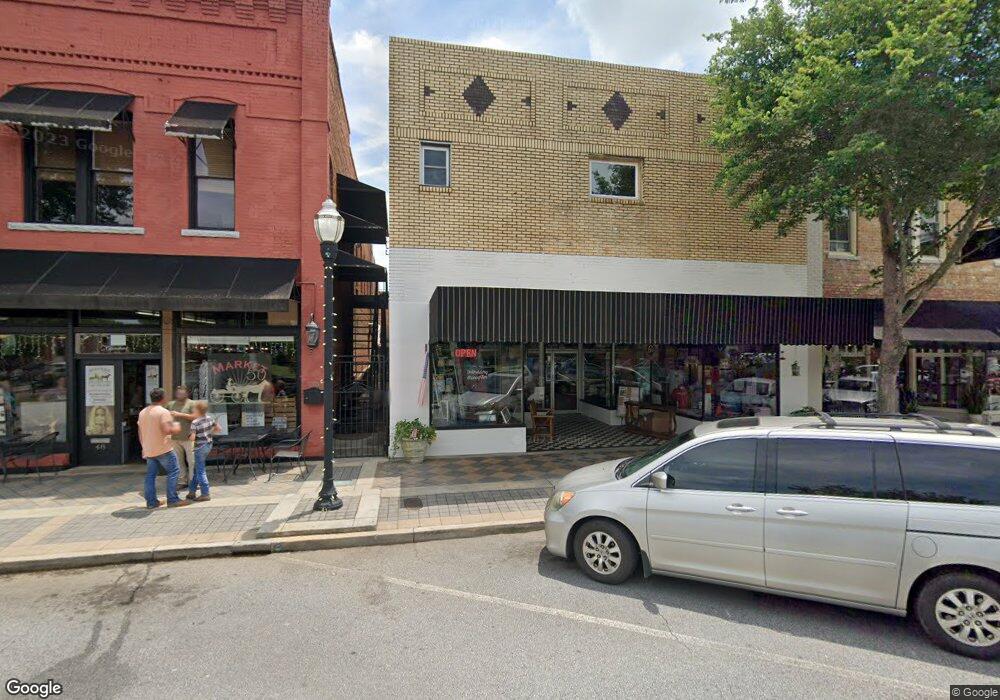
36 N Forest Ave Hartwell, GA 30643
Estimated Value: $229,383
--
Bed
--
Bath
4,200
Sq Ft
$55/Sq Ft
Est. Value
About This Home
This home is located at 36 N Forest Ave, Hartwell, GA 30643 and is currently estimated at $229,383, approximately $54 per square foot. 36 N Forest Ave is a home located in Hart County with nearby schools including Hart County High School, Barnes Academy, and Hartwell Mennonite School.
Ownership History
Date
Name
Owned For
Owner Type
Purchase Details
Closed on
Dec 15, 2016
Sold by
Brayton Daniel P
Bought by
Mcleroy Gina
Current Estimated Value
Home Financials for this Owner
Home Financials are based on the most recent Mortgage that was taken out on this home.
Original Mortgage
$116,458
Outstanding Balance
$3,822
Interest Rate
3.94%
Mortgage Type
Commercial
Estimated Equity
$225,561
Purchase Details
Closed on
Sep 30, 2005
Sold by
Brayton Daniel P
Bought by
Brayton Daniel P
Purchase Details
Closed on
Mar 1, 1999
Purchase Details
Closed on
Jan 1, 1957
Create a Home Valuation Report for This Property
The Home Valuation Report is an in-depth analysis detailing your home's value as well as a comparison with similar homes in the area
Home Values in the Area
Average Home Value in this Area
Purchase History
| Date | Buyer | Sale Price | Title Company |
|---|---|---|---|
| Mcleroy Gina | $110,000 | -- | |
| Brayton Daniel P | $159,000 | -- | |
| -- | $39,000 | -- | |
| -- | -- | -- |
Source: Public Records
Mortgage History
| Date | Status | Borrower | Loan Amount |
|---|---|---|---|
| Open | Mcleroy Gina | $116,458 |
Source: Public Records
Tax History Compared to Growth
Tax History
| Year | Tax Paid | Tax Assessment Tax Assessment Total Assessment is a certain percentage of the fair market value that is determined by local assessors to be the total taxable value of land and additions on the property. | Land | Improvement |
|---|---|---|---|---|
| 2024 | $3,366 | $139,363 | $59,891 | $79,472 |
| 2023 | $2,834 | $109,352 | $27,576 | $81,776 |
| 2022 | $1,824 | $109,534 | $25,454 | $84,080 |
| 2021 | $1,799 | $96,989 | $10,606 | $86,383 |
| 2020 | $1,923 | $99,292 | $10,606 | $88,686 |
| 2019 | $846 | $43,271 | $9,227 | $34,044 |
| 2018 | $882 | $44,613 | $4,454 | $40,159 |
| 2017 | $875 | $44,613 | $4,454 | $40,159 |
| 2016 | $979 | $47,725 | $8,242 | $39,483 |
| 2015 | $1,047 | $53,800 | $8,242 | $45,558 |
| 2014 | $1,069 | $53,800 | $8,242 | $45,558 |
| 2013 | -- | $58,862 | $8,242 | $50,619 |
Source: Public Records
Map
Nearby Homes
- 34 Depot Unit 22 St
- 34 Depot Unit 25 St
- 34 Depot Unit 23 St
- 34 Depot Unit 21 St
- 34 Depot Unit 24 St
- 34 Depot St Unit 25
- 34 Depot St Unit 21
- 34 Depot St Unit 22
- 34 Depot St Unit 23
- 34 Depot St Unit 24
- 29 Highway 29
- 8A Forest Creek Cir
- 123 Fairview Station
- 66 Cleveland Ave
- 318 Chandler St
- 113 Maple St Unit 3 HOMES
- 163 Cleveland Ave
- 2 2nd St
- 130 Liberty Cir
- 183 Athens St
- 50 N Forest Ave
- 101 Villa Ct
- 65 Manor Ct
- 105 W Franklin St
- 0 E Franklin St Unit 9042523
- 0 E Franklin St Unit 8691162
- 38 N Forest Ave
- 95 W Franklin St
- 89 W Franklin St
- 122 W Franklin St
- E E Howell St
- S U S 29
- 0 S Carter St Unit 7384749
- 0 S Forest Ave Unit 20161453
- 0 S Forest Ave Unit 25.84 ACRES 9016145
- 77 Georgia 77
- 112 W Franklin St
- 0 Wall Mart Dr Unit 3217710
- 0 Roger Heaton Unit LOT 1 3221012
- 0 Seraph Point Unit LOT 3 3290553