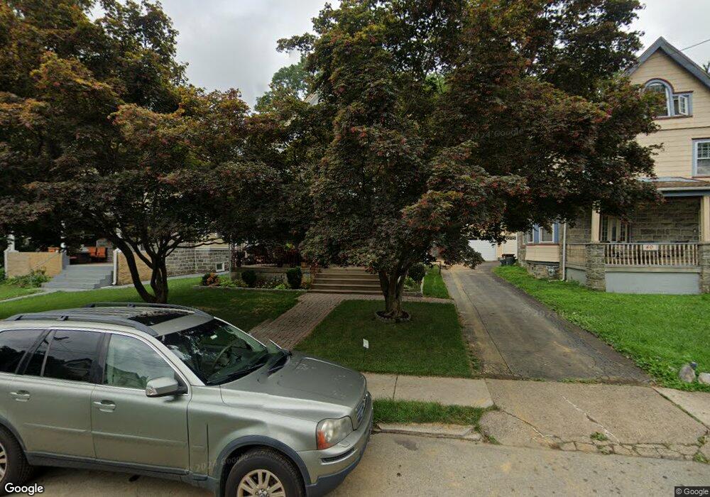
36 N Maple Ave Lansdowne, PA 19050
Estimated Value: $287,000 - $333,000
5
Beds
2
Baths
2,202
Sq Ft
$140/Sq Ft
Est. Value
About This Home
This home is located at 36 N Maple Ave, Lansdowne, PA 19050 and is currently estimated at $307,728, approximately $139 per square foot. 36 N Maple Ave is a home located in Delaware County with nearby schools including East Lansdowne Elementary School, Penn Wood Middle School, and Penn Wood High School - Cypress Street Campus.
Ownership History
Date
Name
Owned For
Owner Type
Purchase Details
Closed on
Mar 30, 1994
Sold by
Reilly William J
Bought by
Baker Dereck C and Baker Denice
Current Estimated Value
Home Financials for this Owner
Home Financials are based on the most recent Mortgage that was taken out on this home.
Original Mortgage
$120,650
Interest Rate
7.07%
Mortgage Type
FHA
Create a Home Valuation Report for This Property
The Home Valuation Report is an in-depth analysis detailing your home's value as well as a comparison with similar homes in the area
Home Values in the Area
Average Home Value in this Area
Purchase History
| Date | Buyer | Sale Price | Title Company |
|---|---|---|---|
| Baker Dereck C | $122,000 | -- |
Source: Public Records
Mortgage History
| Date | Status | Borrower | Loan Amount |
|---|---|---|---|
| Closed | Baker Dereck C | $120,650 |
Source: Public Records
Tax History
| Year | Tax Paid | Tax Assessment Tax Assessment Total Assessment is a certain percentage of the fair market value that is determined by local assessors to be the total taxable value of land and additions on the property. | Land | Improvement |
|---|---|---|---|---|
| 2025 | $6,515 | $158,230 | $40,430 | $117,800 |
| 2024 | $6,515 | $158,230 | $40,430 | $117,800 |
| 2023 | $6,211 | $158,230 | $40,430 | $117,800 |
| 2022 | $6,089 | $158,230 | $40,430 | $117,800 |
| 2021 | $9,144 | $158,230 | $40,430 | $117,800 |
| 2020 | $5,725 | $87,290 | $26,460 | $60,830 |
| 2019 | $5,629 | $87,290 | $26,460 | $60,830 |
| 2018 | $5,532 | $87,290 | $0 | $0 |
| 2017 | $5,410 | $87,290 | $0 | $0 |
| 2016 | $479 | $87,290 | $0 | $0 |
| 2015 | $479 | $87,290 | $0 | $0 |
| 2014 | $489 | $87,290 | $0 | $0 |
Source: Public Records
Map
Nearby Homes
- 32 N Wycombe Ave
- 56 E Stewart Ave
- 46 S Maple Ave
- 81 Hartley Rd
- 86 Houston Rd
- 105 Nyack Ave
- 113 A A000 N Union Ave
- 25 Madison Ave
- 230 Wynnewood Ave
- 217 E Greenwood Ave
- 116 Bartram Ave
- 22 Lexington Ave
- 69 Owen Ave
- 29 W Stratford Ave
- 57 Lexington Ave
- 59 Lexington Ave
- 178 N Union Ave
- 109 Lexington Ave
- 192 Fairview Ave
- 408 S Union Ave
- 32 N Maple Ave
- 40 N Maple Ave
- 28 N Maple Ave
- 44 N Maple Ave
- 33 N Maple Ave
- 93 E La Crosse Ave
- 37 N Maple Ave
- 24 N Maple Ave
- 91 E La Crosse Ave
- 41 N Maple Ave
- 27 N Maple Ave
- 52 N Maple Ave
- 45 N Maple Ave
- 89 E La Crosse Ave
- 23 N Maple Ave
- 20 N Maple Ave
- 25 N Rigby Ave
- 115 E La Crosse Ave
- 87 E La Crosse Ave
- 86 E Stratford Ave
Your Personal Tour Guide
Ask me questions while you tour the home.