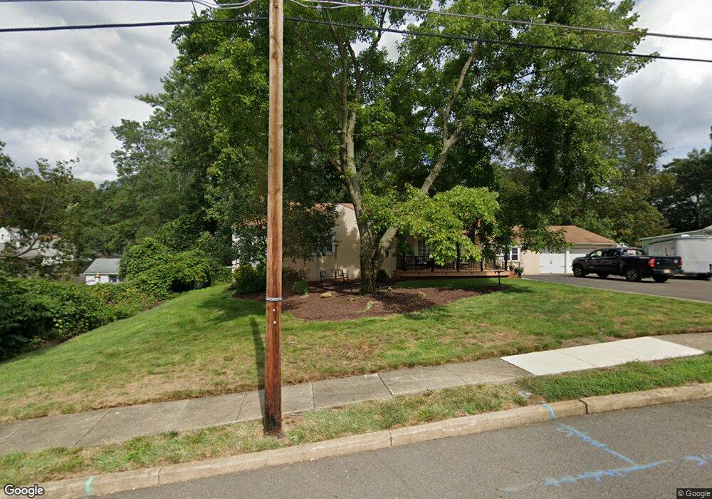
36 N Rowand Ave Runnemede, NJ 08078
Estimated Value: $306,043 - $379,000
--
Bed
--
Bath
1,514
Sq Ft
$220/Sq Ft
Est. Value
About This Home
This home is located at 36 N Rowand Ave, Runnemede, NJ 08078 and is currently estimated at $332,511, approximately $219 per square foot. 36 N Rowand Ave is a home located in Camden County with nearby schools including Mary E. Volz Elementary School, Bingham Elementary School, and Triton High School.
Ownership History
Date
Name
Owned For
Owner Type
Purchase Details
Closed on
Apr 27, 1998
Sold by
Root Irvin M
Bought by
Root Tara Aversa
Current Estimated Value
Home Financials for this Owner
Home Financials are based on the most recent Mortgage that was taken out on this home.
Original Mortgage
$90,000
Outstanding Balance
$17,555
Interest Rate
7.08%
Estimated Equity
$314,956
Create a Home Valuation Report for This Property
The Home Valuation Report is an in-depth analysis detailing your home's value as well as a comparison with similar homes in the area
Home Values in the Area
Average Home Value in this Area
Purchase History
| Date | Buyer | Sale Price | Title Company |
|---|---|---|---|
| Root Tara Aversa | $120,000 | -- |
Source: Public Records
Mortgage History
| Date | Status | Borrower | Loan Amount |
|---|---|---|---|
| Open | Root Tara Aversa | $90,000 |
Source: Public Records
Tax History Compared to Growth
Tax History
| Year | Tax Paid | Tax Assessment Tax Assessment Total Assessment is a certain percentage of the fair market value that is determined by local assessors to be the total taxable value of land and additions on the property. | Land | Improvement |
|---|---|---|---|---|
| 2025 | $8,877 | $197,000 | $56,000 | $141,000 |
| 2024 | $8,607 | $197,000 | $56,000 | $141,000 |
| 2023 | $8,607 | $197,000 | $56,000 | $141,000 |
| 2022 | $8,333 | $197,000 | $56,000 | $141,000 |
| 2021 | $8,136 | $197,000 | $56,000 | $141,000 |
| 2020 | $8,055 | $197,000 | $56,000 | $141,000 |
| 2019 | $7,908 | $197,000 | $56,000 | $141,000 |
| 2018 | $7,756 | $197,000 | $56,000 | $141,000 |
| 2017 | $7,557 | $197,000 | $56,000 | $141,000 |
| 2016 | $7,462 | $197,000 | $56,000 | $141,000 |
| 2015 | $7,484 | $197,000 | $56,000 | $141,000 |
| 2014 | $7,388 | $197,000 | $56,000 | $141,000 |
Source: Public Records
Map
Nearby Homes
- 525 W Evesham Rd
- 806 W Evesham Rd
- 101 Singley Ave
- 304 W Evesham Rd
- 1033 W Front St
- 413 W 1st Ave
- 21 S Oakland Ave
- 420 Zane Ave
- 424 Center Ave
- 411 Zane Ave
- 218 High St
- 405 Melvin Ave
- 528 Hirsch Ave
- 102 W 1st Ave
- 600 Williams Ave
- 548 Williams Ave
- 25 W 1st Ave
- 613 Williams Terrace
- 50 Haverford Rd
- 30 12th Ave
- 28 N Rowand Ave
- 16 N Rowand Ave
- 412 Sheppard Ave
- 410 Sheppard Ave
- 414 Sheppard Ave
- 408 Sheppard Ave
- 35 N Highland Ave
- 406 Sheppard Ave
- 43 N Highland Ave
- 25 N Highland Ave
- 404 Sheppard Ave
- 25 N Rowand Ave
- 43 N Rowand Ave
- 421 W Clements Bridge Rd
- 33 N Rowand Ave
- 41 N Rowand Ave
- 419 W Clements Bridge Rd
- 402 Sheppard Ave
- 53 N Rowand Ave
- 415 W Clements Bridge Rd