36 Newell St Humarock, MA 02047
Humarock NeighborhoodEstimated Value: $778,000 - $1,071,000
4
Beds
2
Baths
1,370
Sq Ft
$688/Sq Ft
Est. Value
About This Home
This home is located at 36 Newell St, Humarock, MA 02047 and is currently estimated at $942,836, approximately $688 per square foot. 36 Newell St is a home with nearby schools including Jenkins Elementary School, Lester J. Gates Middle School, and Scituate High School.
Ownership History
Date
Name
Owned For
Owner Type
Purchase Details
Closed on
Sep 7, 2016
Sold by
Pyne Heather S
Bought by
Stewart Ft
Current Estimated Value
Purchase Details
Closed on
Dec 16, 2015
Sold by
Stewart Bruce J
Bought by
36 Newell Street Rt and Stewart Bruce J
Purchase Details
Closed on
Apr 23, 2014
Sold by
Stewart Hallie M
Bought by
Stewart Bruce J and Pyne Heather S
Purchase Details
Closed on
Feb 27, 2014
Sold by
Stewart Hallie M
Bought by
Stewart Hallie M and Stewart Bruce J
Purchase Details
Closed on
Aug 17, 2004
Sold by
Stewart John W
Bought by
Stewart John W and Stewart Hallie M
Create a Home Valuation Report for This Property
The Home Valuation Report is an in-depth analysis detailing your home's value as well as a comparison with similar homes in the area
Home Values in the Area
Average Home Value in this Area
Purchase History
| Date | Buyer | Sale Price | Title Company |
|---|---|---|---|
| Stewart Ft | -- | -- | |
| 36 Newell Street Rt | -- | -- | |
| Stewart Bruce J | -- | -- | |
| Stewart Bruce J | -- | -- | |
| Stewart Hallie M | -- | -- | |
| Stewart John W | -- | -- |
Source: Public Records
Tax History Compared to Growth
Tax History
| Year | Tax Paid | Tax Assessment Tax Assessment Total Assessment is a certain percentage of the fair market value that is determined by local assessors to be the total taxable value of land and additions on the property. | Land | Improvement |
|---|---|---|---|---|
| 2025 | $9,270 | $927,900 | $724,300 | $203,600 |
| 2024 | $8,338 | $804,800 | $605,100 | $199,700 |
| 2023 | $6,561 | $618,500 | $517,700 | $100,800 |
| 2022 | $6,561 | $519,900 | $429,200 | $90,700 |
| 2021 | $6,534 | $490,200 | $408,800 | $81,400 |
| 2020 | $6,585 | $487,800 | $405,300 | $82,500 |
| 2019 | $7,088 | $515,900 | $433,500 | $82,400 |
| 2018 | $7,950 | $569,900 | $480,400 | $89,500 |
| 2017 | $8,030 | $569,900 | $480,400 | $89,500 |
| 2016 | $7,291 | $515,600 | $429,300 | $86,300 |
| 2015 | $6,754 | $515,600 | $429,300 | $86,300 |
Source: Public Records
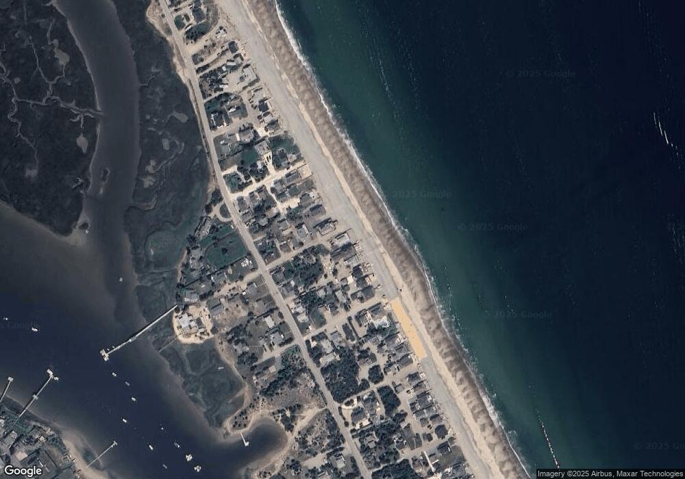
Map
Nearby Homes
- 33 Newell St
- 142 Humarock Beach
- 141 Humarock Beach
- 145 Humarock Beach
- 30 Newell St
- 140 Humarock Beach
- 27 Newell St
- 139 Humarock Beach
- 147 Humarock Beach
- 29 Concord St
- 23 Newell St
- 8 Dodge Rd
- 35 Concord St
- 26 Newport St Unit A
- 26 Newport St
- 0 Monticello St L:56a Unit 71140803
- 0 Monticello St L:56a Unit 71008205
- 82 Central Ave
- 148 Humarock Beach
- 27 Concord St