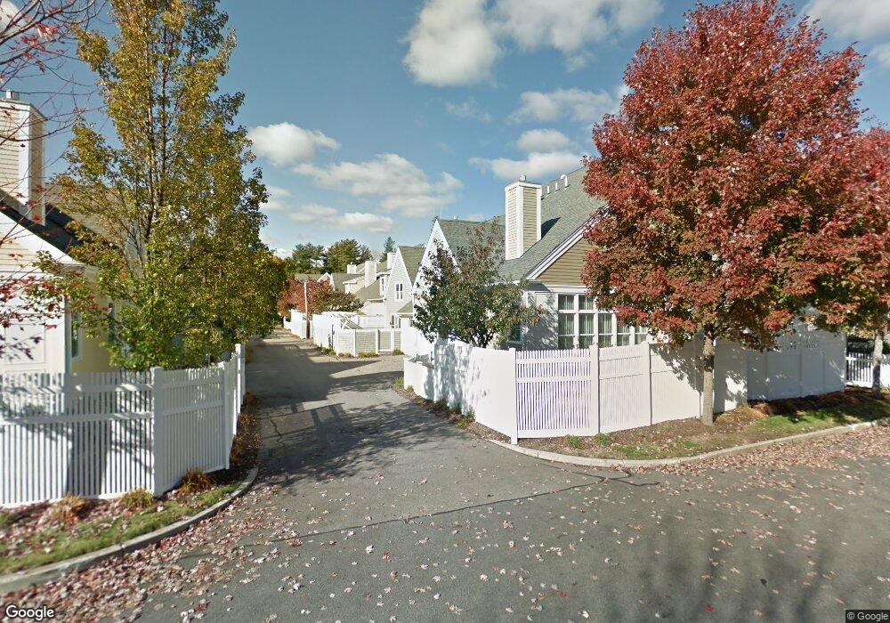
36 Owen Rd Norton, MA 02766
Estimated Value: $620,541 - $708,000
2
Beds
3
Baths
1,746
Sq Ft
$375/Sq Ft
Est. Value
About This Home
This home is located at 36 Owen Rd, Norton, MA 02766 and is currently estimated at $654,885, approximately $375 per square foot. 36 Owen Rd is a home located in Bristol County with nearby schools including L.G. Nourse Elementary School, Henri A. Yelle Elementary School, and Norton Middle School.
Ownership History
Date
Name
Owned For
Owner Type
Purchase Details
Closed on
Sep 9, 2025
Sold by
Coleman Catherine M and Coleman Joseph G
Bought by
Vaughan Brooke and Coleman Darci
Current Estimated Value
Purchase Details
Closed on
Oct 10, 2023
Sold by
Tillman Randi
Bought by
Coleman Catherine M and Coleman Joseph G
Home Financials for this Owner
Home Financials are based on the most recent Mortgage that was taken out on this home.
Original Mortgage
$200,000
Interest Rate
6.25%
Mortgage Type
Purchase Money Mortgage
Purchase Details
Closed on
Jan 17, 2020
Sold by
Murphy Buerkel Joint Ret
Bought by
Tillman Randi
Home Financials for this Owner
Home Financials are based on the most recent Mortgage that was taken out on this home.
Original Mortgage
$376,000
Interest Rate
3.73%
Mortgage Type
New Conventional
Purchase Details
Closed on
Apr 29, 2019
Sold by
Buerkel Susan G and Murphy Bianca C
Bought by
Murphy Burekel Joint Ret and Murphy
Purchase Details
Closed on
Mar 28, 2012
Sold by
Campisano Marion
Bought by
Murphy Bianca C and Buerkel Susan G
Home Financials for this Owner
Home Financials are based on the most recent Mortgage that was taken out on this home.
Original Mortgage
$290,000
Interest Rate
4%
Mortgage Type
Adjustable Rate Mortgage/ARM
Purchase Details
Closed on
May 23, 2007
Sold by
Thorndike Prop Of Mass
Bought by
Campisano Joseph and Campisano Marion
Create a Home Valuation Report for This Property
The Home Valuation Report is an in-depth analysis detailing your home's value as well as a comparison with similar homes in the area
Home Values in the Area
Average Home Value in this Area
Purchase History
| Date | Buyer | Sale Price | Title Company |
|---|---|---|---|
| Vaughan Brooke | -- | -- | |
| Vaughan Brooke | -- | -- | |
| Coleman Catherine M | $575,000 | None Available | |
| Tillman Randi | $470,000 | None Available | |
| Murphy Burekel Joint Ret | -- | -- | |
| Murphy Burekel Joint Ret | -- | -- | |
| Murphy Bianca C | $362,500 | -- | |
| Campisano Joseph | $400,468 | -- | |
| Campisano Joseph | $400,468 | -- |
Source: Public Records
Mortgage History
| Date | Status | Borrower | Loan Amount |
|---|---|---|---|
| Previous Owner | Coleman Catherine M | $200,000 | |
| Previous Owner | Tillman Randi | $376,000 | |
| Previous Owner | Campisano Joseph | $290,000 |
Source: Public Records
Tax History Compared to Growth
Tax History
| Year | Tax Paid | Tax Assessment Tax Assessment Total Assessment is a certain percentage of the fair market value that is determined by local assessors to be the total taxable value of land and additions on the property. | Land | Improvement |
|---|---|---|---|---|
| 2025 | $68 | $524,800 | $0 | $524,800 |
| 2024 | $6,335 | $489,200 | $0 | $489,200 |
| 2023 | $6,463 | $497,500 | $0 | $497,500 |
| 2022 | $6,290 | $441,100 | $0 | $441,100 |
| 2021 | $6,108 | $409,100 | $0 | $409,100 |
| 2020 | $6,001 | $405,500 | $0 | $405,500 |
| 2019 | $5,893 | $395,500 | $0 | $395,500 |
| 2018 | $5,797 | $382,400 | $0 | $382,400 |
| 2017 | $5,363 | $348,900 | $0 | $348,900 |
| 2016 | $5,342 | $342,200 | $0 | $342,200 |
| 2015 | $5,166 | $335,700 | $0 | $335,700 |
| 2014 | $5,064 | $329,500 | $0 | $329,500 |
Source: Public Records
Map
Nearby Homes
- 27 Owen Rd Unit 27
- 20 Newland St Unit 20
- 11 Renwick Dr
- 195 E Main St
- O Leonard St
- 0 Knollwood & 0 Rear Kensington
- 7 N Washington St
- 12 Kayak Trail
- 0 S Washington St Unit 73437419
- 0 Kensington Rd
- 15 S Washington St
- 120 Burt St
- 136 N Washington St Unit 6
- 206 Plain St
- 4 Karol Dr
- 108 Norton Ave Unit 24
- 108 Norton Ave Unit 4
- 10 Ridge Rd
- 0 Brook Pkwy
- 6 Pinebrook Ln Unit 6