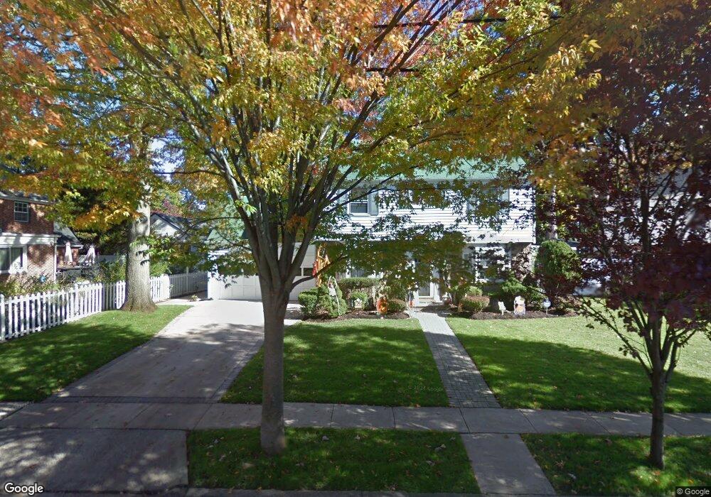
36 Oxford Dr Freeport, NY 11520
Estimated Value: $593,000 - $665,708
3
Beds
2
Baths
1,551
Sq Ft
$406/Sq Ft
Est. Value
About This Home
This home is located at 36 Oxford Dr, Freeport, NY 11520 and is currently estimated at $629,354, approximately $405 per square foot. 36 Oxford Dr is a home located in Nassau County with nearby schools including Roosevelt Middle School, Roosevelt High School, and Roosevelt Children's Academy.
Ownership History
Date
Name
Owned For
Owner Type
Purchase Details
Closed on
Feb 14, 2016
Sold by
Morpeau Adrien and Pierce Alexis
Bought by
Lopez Rosa and Lopez Jazmin
Current Estimated Value
Home Financials for this Owner
Home Financials are based on the most recent Mortgage that was taken out on this home.
Original Mortgage
$342,678
Outstanding Balance
$270,213
Interest Rate
3.62%
Mortgage Type
FHA
Estimated Equity
$359,141
Purchase Details
Closed on
Feb 8, 2010
Sold by
Peters Carver and Peters Marva
Bought by
Morpeau Adrien and Pierce Alexis
Home Financials for this Owner
Home Financials are based on the most recent Mortgage that was taken out on this home.
Original Mortgage
$290,109
Interest Rate
5.5%
Mortgage Type
FHA
Create a Home Valuation Report for This Property
The Home Valuation Report is an in-depth analysis detailing your home's value as well as a comparison with similar homes in the area
Home Values in the Area
Average Home Value in this Area
Purchase History
| Date | Buyer | Sale Price | Title Company |
|---|---|---|---|
| Lopez Rosa | $349,000 | First American Title Insuran | |
| Morpeau Adrien | -- | -- |
Source: Public Records
Mortgage History
| Date | Status | Borrower | Loan Amount |
|---|---|---|---|
| Open | Lopez Rosa | $342,678 | |
| Previous Owner | Morpeau Adrien | $290,109 |
Source: Public Records
Tax History Compared to Growth
Tax History
| Year | Tax Paid | Tax Assessment Tax Assessment Total Assessment is a certain percentage of the fair market value that is determined by local assessors to be the total taxable value of land and additions on the property. | Land | Improvement |
|---|---|---|---|---|
| 2025 | $6,847 | $372 | $120 | $252 |
| 2024 | $817 | $371 | $119 | $252 |
| 2023 | $6,651 | $382 | $123 | $259 |
| 2022 | $6,651 | $382 | $123 | $259 |
| 2021 | $9,408 | $369 | $119 | $250 |
| 2020 | $6,570 | $517 | $319 | $198 |
| 2019 | $6,141 | $632 | $390 | $242 |
| 2018 | $7,287 | $632 | $0 | $0 |
| 2017 | $4,624 | $632 | $390 | $242 |
| 2016 | $5,572 | $632 | $390 | $242 |
| 2015 | $913 | $632 | $390 | $242 |
| 2014 | $913 | $632 | $390 | $242 |
| 2013 | $863 | $632 | $390 | $242 |
Source: Public Records
Map
Nearby Homes
- 18 Evans Ave
- 32 Dawes Ave
- 152 Evans Ave
- 187 Moore Ave
- 3 Maple Dr
- 319 Maryland Ave
- 242 W Centennial Ave
- 93 Woodside Ave
- 156 Brookside Ave
- 174 Delaware Ave
- 396 Maryland Ave
- 94 Woods Ave
- 110 Woodside Ave
- 139 New York Ave
- 54 Westfield Ave
- 36 John St
- 1 Willowbrook Ln
- 119 E Fulton Ave
- 107 California Ave
- 31 Cedar St