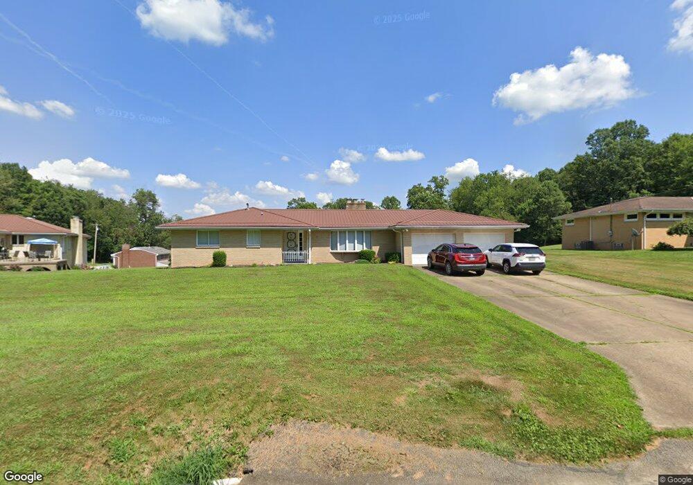
36 Papp Rd Unit 56 Canonsburg, PA 15317
Estimated Value: $85,000 - $110,981
2
Beds
1
Bath
1,304
Sq Ft
$72/Sq Ft
Est. Value
About This Home
This home is located at 36 Papp Rd Unit 56, Canonsburg, PA 15317 and is currently estimated at $93,245, approximately $71 per square foot. 36 Papp Rd Unit 56 is a home located in Washington County with nearby schools including Canon-Mcmillan Senior High School.
Ownership History
Date
Name
Owned For
Owner Type
Purchase Details
Closed on
Jan 6, 2006
Sold by
Deli R Carosone
Bought by
Anderson William C
Current Estimated Value
Home Financials for this Owner
Home Financials are based on the most recent Mortgage that was taken out on this home.
Original Mortgage
$40,500
Outstanding Balance
$22,778
Interest Rate
6.28%
Mortgage Type
New Conventional
Estimated Equity
$70,467
Create a Home Valuation Report for This Property
The Home Valuation Report is an in-depth analysis detailing your home's value as well as a comparison with similar homes in the area
Home Values in the Area
Average Home Value in this Area
Purchase History
| Date | Buyer | Sale Price | Title Company |
|---|---|---|---|
| Anderson William C | $45,000 | -- |
Source: Public Records
Mortgage History
| Date | Status | Borrower | Loan Amount |
|---|---|---|---|
| Open | Anderson William C | $40,500 |
Source: Public Records
Tax History Compared to Growth
Tax History
| Year | Tax Paid | Tax Assessment Tax Assessment Total Assessment is a certain percentage of the fair market value that is determined by local assessors to be the total taxable value of land and additions on the property. | Land | Improvement |
|---|---|---|---|---|
| 2025 | $894 | $53,100 | $17,400 | $35,700 |
| 2024 | $846 | $53,100 | $17,400 | $35,700 |
| 2023 | $846 | $53,100 | $17,400 | $35,700 |
| 2022 | $843 | $53,100 | $17,400 | $35,700 |
| 2021 | $843 | $53,100 | $17,400 | $35,700 |
| 2020 | $827 | $53,100 | $17,400 | $35,700 |
| 2019 | $814 | $53,100 | $17,400 | $35,700 |
| 2018 | $798 | $53,100 | $17,400 | $35,700 |
| 2017 | $92 | $53,100 | $17,400 | $35,700 |
| 2016 | $92 | $3,707 | $819 | $2,888 |
| 2015 | $97 | $3,707 | $819 | $2,888 |
| 2014 | $92 | $3,707 | $819 | $2,888 |
| 2013 | $92 | $3,707 | $819 | $2,888 |
Source: Public Records
Map
Nearby Homes
- 463 Dogwood Ln
- 140 Black Oak Ln
- 134 Black Oak Ln
- 53 Ridgewood Dr
- 55 Ridgewood Dr
- 11 Crestwood Dr
- 22 Ciaffoni Rd
- 14 Thornwood Dr
- 3994 Overview Dr
- 59 Ridgewood Dr
- Lot 18 Ridgewood Dr
- 77 Ridgewood Dr
- 79 Ridgewood Dr
- 20 Ridgewood Dr
- 804 Redwood Dr
- 178 Locust St
- 211 Evandale Rd
- 159 Klinger Rd
- LOT 10-7-6-5 Windcrest Dr
- LOT 7 Windcrest Dr