36 Partridge Rd Warren, CT 06754
Estimated Value: $527,000 - $594,000
4
Beds
7
Baths
1,664
Sq Ft
$341/Sq Ft
Est. Value
About This Home
This home is located at 36 Partridge Rd, Warren, CT 06754 and is currently estimated at $567,450, approximately $341 per square foot. 36 Partridge Rd is a home located in Litchfield County with nearby schools including Lakeview High School.
Ownership History
Date
Name
Owned For
Owner Type
Purchase Details
Closed on
Jul 24, 2020
Sold by
Smith Frank H
Bought by
Smith Frank H and Smith Jennifer A
Current Estimated Value
Home Financials for this Owner
Home Financials are based on the most recent Mortgage that was taken out on this home.
Original Mortgage
$242,000
Outstanding Balance
$162,317
Interest Rate
2.5%
Mortgage Type
New Conventional
Estimated Equity
$405,133
Purchase Details
Closed on
Oct 3, 2011
Sold by
Ahearn David and Ahearn Jennifer
Bought by
Smith Frank
Home Financials for this Owner
Home Financials are based on the most recent Mortgage that was taken out on this home.
Original Mortgage
$288,070
Interest Rate
4.15%
Mortgage Type
Purchase Money Mortgage
Purchase Details
Closed on
Oct 1, 2004
Sold by
Northland Custom Inc
Bought by
Ahearn David G and Ahearn Jennifer M
Create a Home Valuation Report for This Property
The Home Valuation Report is an in-depth analysis detailing your home's value as well as a comparison with similar homes in the area
Home Values in the Area
Average Home Value in this Area
Purchase History
| Date | Buyer | Sale Price | Title Company |
|---|---|---|---|
| Smith Frank H | -- | None Available | |
| Smith Frank H | -- | None Available | |
| Smith Frank | $275,000 | -- | |
| Smith Frank | $275,000 | -- | |
| Ahearn David G | $349,900 | -- | |
| Ahearn David G | $349,900 | -- |
Source: Public Records
Mortgage History
| Date | Status | Borrower | Loan Amount |
|---|---|---|---|
| Open | Smith Frank H | $242,000 | |
| Closed | Smith Frank H | $242,000 | |
| Previous Owner | Ahearn David G | $288,070 |
Source: Public Records
Tax History
| Year | Tax Paid | Tax Assessment Tax Assessment Total Assessment is a certain percentage of the fair market value that is determined by local assessors to be the total taxable value of land and additions on the property. | Land | Improvement |
|---|---|---|---|---|
| 2025 | $3,390 | $265,860 | $67,900 | $197,960 |
| 2024 | $3,390 | $265,860 | $67,900 | $197,960 |
| 2023 | $3,496 | $265,860 | $67,900 | $197,960 |
| 2022 | $3,264 | $230,660 | $67,920 | $162,740 |
| 2021 | $3,264 | $230,660 | $67,920 | $162,740 |
| 2020 | $3,287 | $230,660 | $67,920 | $162,740 |
| 2019 | $3,287 | $230,660 | $67,920 | $162,740 |
| 2018 | $3,287 | $230,660 | $67,920 | $162,740 |
| 2017 | $3,367 | $232,190 | $75,950 | $156,240 |
| 2016 | $3,332 | $232,190 | $75,950 | $156,240 |
| 2015 | $3,297 | $232,190 | $75,950 | $156,240 |
| 2014 | $3,282 | $231,140 | $75,950 | $155,190 |
Source: Public Records
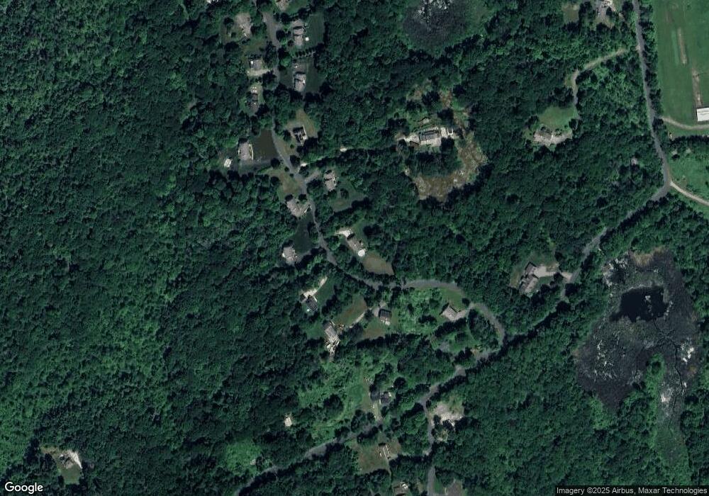
Map
Nearby Homes
- 34 Kent Rd
- 0 Lake Rd
- 00 Above All Rd
- 0 Mountain Lake Rd
- 25 Mountain Lake Rd
- 132 Curtiss Rd
- 51 Curtiss Rd
- 00 Upper Kent Hollow Rd
- 0 Curtiss Rd
- 38 Strawberry Ridge
- 102 Melius Rd
- 18 Arrow Point Rd
- 0 Stonewall Unit 39
- 11 Old Paddock Ln
- 0 Mount Mauwee Rd
- 0 Gorham Rd Unit 24138133
- 11 Day Rd
- 143 Whitcomb Hill Rd
- 23 Mauwee Brook Rd
- 92 E Shore Rd
- 34 Partridge Rd
- 43 Partridge Rd
- 39 Partridge Rd
- 41 Partridge Rd
- 35 Partridge Rd
- 45 Partridge Rd
- 45 Partridge Rd
- 45 Partridge Rd Unit 45A
- 33 Partridge Rd
- 42 Cunningham Rd
- 30 Partridge Rd
- 0 Sunset Lake Rd Unit F10120789
- 32 Partridge Rd
- 50 Cunningham Rd
- 32 Cunningham Rd
- 31 Partridge Rd
- 28 Partridge Rd
- 29 Partridge Rd
- 8 Cunningham Rd
- 4 Sunset Lake Rd
Your Personal Tour Guide
Ask me questions while you tour the home.