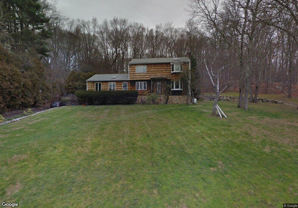
36 Pheasant Ln Stamford, CT 06903
North Stamford NeighborhoodEstimated Value: $994,000 - $1,188,000
3
Beds
3
Baths
2,296
Sq Ft
$465/Sq Ft
Est. Value
About This Home
This home is located at 36 Pheasant Ln, Stamford, CT 06903 and is currently estimated at $1,067,247, approximately $464 per square foot. 36 Pheasant Ln is a home located in Fairfield County with nearby schools including Davenport Ridge Elementary School, Rippowam Middle School, and Stamford High School.
Ownership History
Date
Name
Owned For
Owner Type
Purchase Details
Closed on
May 11, 2005
Sold by
Jennings Edward A and Jennings Sally P
Bought by
Conners Matt
Current Estimated Value
Purchase Details
Closed on
Dec 12, 1989
Sold by
Mohtadi Firouz
Bought by
Imkhanitsky Gregory
Home Financials for this Owner
Home Financials are based on the most recent Mortgage that was taken out on this home.
Original Mortgage
$280,000
Interest Rate
9.72%
Purchase Details
Closed on
Aug 27, 1987
Sold by
Finochio Thomas
Bought by
Mohtadi Firouz
Home Financials for this Owner
Home Financials are based on the most recent Mortgage that was taken out on this home.
Original Mortgage
$292,000
Interest Rate
10.24%
Create a Home Valuation Report for This Property
The Home Valuation Report is an in-depth analysis detailing your home's value as well as a comparison with similar homes in the area
Home Values in the Area
Average Home Value in this Area
Purchase History
| Date | Buyer | Sale Price | Title Company |
|---|---|---|---|
| Conners Matt | $2,175,000 | -- | |
| Imkhanitsky Gregory | $350,000 | -- | |
| Mohtadi Firouz | $392,000 | -- |
Source: Public Records
Mortgage History
| Date | Status | Borrower | Loan Amount |
|---|---|---|---|
| Previous Owner | Mohtadi Firouz | $220,000 | |
| Previous Owner | Mohtadi Firouz | $280,000 | |
| Previous Owner | Mohtadi Firouz | $292,000 |
Source: Public Records
Tax History Compared to Growth
Tax History
| Year | Tax Paid | Tax Assessment Tax Assessment Total Assessment is a certain percentage of the fair market value that is determined by local assessors to be the total taxable value of land and additions on the property. | Land | Improvement |
|---|---|---|---|---|
| 2025 | $12,533 | $538,590 | $286,810 | $251,780 |
| 2024 | $12,258 | $538,590 | $286,810 | $251,780 |
| 2023 | $13,174 | $538,590 | $286,810 | $251,780 |
| 2022 | $11,150 | $423,490 | $216,880 | $206,610 |
| 2021 | $10,998 | $423,490 | $216,880 | $206,610 |
| 2020 | $10,727 | $423,490 | $216,880 | $206,610 |
| 2019 | $10,727 | $423,490 | $216,880 | $206,610 |
| 2018 | $10,354 | $423,490 | $216,880 | $206,610 |
| 2017 | $9,978 | $389,910 | $198,800 | $191,110 |
| 2016 | $9,678 | $389,910 | $198,800 | $191,110 |
| 2015 | $9,412 | $389,910 | $198,800 | $191,110 |
| 2014 | $9,089 | $389,910 | $198,800 | $191,110 |
Source: Public Records
Map
Nearby Homes
- 160 Wire Mill Rd
- 88 Rockridge Ln
- 400 Wire Mill Rd
- 38 Lancaster Place
- 368 Den Rd
- 56 Bradley Place
- 506 Roxbury Rd
- 34 Bradley Place
- 210 Red Fox Rd
- 7 the Reserve at Sterling Ridge
- 180 Riverbank Rd
- 14 Barmore Dr
- 107 Deepwood Rd
- 27 Emma Rd
- 60 Redmont Rd
- 164 Janes Ln
- 12 Old Mill Ln
- 65 Malibu Rd
- 21 Nichols Ave
- 113 Wood Ridge Dr
- 30 Pheasant Ln
- 56 Pheasant Ln
- 23 Pheasant Ln
- 22 Pheasant Ln
- 62 Pheasant Ln
- 71 Briarwood Ln
- 75 Briarwood Ln
- 61 Pheasant Ln
- 7 Pheasant Ln
- 80 Briarwood Ln
- 60 Pheasant Ln
- 8 Pheasant Ln
- 83 Webbs Hill Rd
- 59 Briarwood Ln
- 74 Briarwood Ln
- 64 Webbs Hill Rd
- 109 Webbs Hill Rd
- 109 Webbs Hill Rd Unit 1
- 109 Webbs Hill Rd Unit B