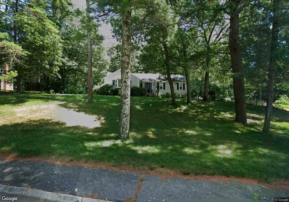
36 Pioneer Trail Marshfield, MA 02050
Estimated Value: $783,269 - $903,000
3
Beds
2
Baths
1,790
Sq Ft
$465/Sq Ft
Est. Value
About This Home
This home is located at 36 Pioneer Trail, Marshfield, MA 02050 and is currently estimated at $832,317, approximately $464 per square foot. 36 Pioneer Trail is a home located in Plymouth County with nearby schools including Governor Edward Winslow School, Furnace Brook Middle School, and Marshfield High School.
Ownership History
Date
Name
Owned For
Owner Type
Purchase Details
Closed on
Mar 1, 2016
Sold by
Pioneer Trail Rt and Zanetti Donald P
Bought by
Zanetti Ft and Zanetti Dennis M
Current Estimated Value
Purchase Details
Closed on
Nov 16, 2011
Sold by
Zanetti Donald P and Zanetti Diane M
Bought by
Pioneer Trail Rt and Zanetti Donald P
Purchase Details
Closed on
Jun 29, 2011
Sold by
36 Pioneer Trail Marsh and Davenport William L
Bought by
Zanetti Donald P and Zanetti Diane M
Purchase Details
Closed on
Jul 27, 2009
Sold by
Davenport Marianna
Bought by
36 Pioneer Trail Mars
Create a Home Valuation Report for This Property
The Home Valuation Report is an in-depth analysis detailing your home's value as well as a comparison with similar homes in the area
Home Values in the Area
Average Home Value in this Area
Purchase History
| Date | Buyer | Sale Price | Title Company |
|---|---|---|---|
| Zanetti Ft | -- | -- | |
| Pioneer Trail Rt | -- | -- | |
| Zanetti Donald P | $385,000 | -- | |
| 36 Pioneer Trail Mars | -- | -- | |
| Davenport Marianna | -- | -- |
Source: Public Records
Tax History Compared to Growth
Tax History
| Year | Tax Paid | Tax Assessment Tax Assessment Total Assessment is a certain percentage of the fair market value that is determined by local assessors to be the total taxable value of land and additions on the property. | Land | Improvement |
|---|---|---|---|---|
| 2025 | $6,789 | $685,800 | $320,300 | $365,500 |
| 2024 | $6,523 | $627,800 | $305,000 | $322,800 |
| 2023 | $6,178 | $569,000 | $272,400 | $296,600 |
| 2022 | $6,178 | $477,100 | $228,900 | $248,200 |
| 2021 | $6,024 | $456,700 | $228,900 | $227,800 |
| 2020 | $5,736 | $430,300 | $207,100 | $223,200 |
| 2019 | $5,424 | $405,400 | $207,100 | $198,300 |
| 2018 | $5,329 | $398,600 | $207,100 | $191,500 |
| 2017 | $5,362 | $390,800 | $207,100 | $183,700 |
| 2016 | $5,172 | $372,600 | $207,100 | $165,500 |
| 2015 | $4,756 | $357,900 | $207,100 | $150,800 |
| 2014 | $4,686 | $352,600 | $207,100 | $145,500 |
Source: Public Records
Map
Nearby Homes
- 112 Partridge Brook Cir
- 33 Herring Weir Rd
- 9 S Pasture Ln
- 25 Hawthorn Hill
- 5 Adelaide Way
- 74 Abrams Hill Rd
- 477 Webster St
- 431 Moraine St
- 62 Teakettle Ln
- 10 Hawthorn Hill
- 555 Webster St
- Two Railroad Ave Unit 1
- Two Railroad Ave Unit 2
- Two Railroad Ave Unit 8
- 47 Teakettle Ln
- 1141 Tremont St
- 37 Walnut St
- 90 Presidential Cir
- 207 Fairways Edge Dr
- 387 Lot 2A Old Cove Rd
- 20 Pioneer Trail
- 52 Pioneer Trail
- 45 Pioneer Trail
- 6 Pioneer Trail
- 1064 Careswell St
- 66 Pioneer Trail
- 1058 Careswell St
- 30 Settlers Path
- 1106 Careswell St
- 9 Settlers Path
- 1074 Careswell St
- 60 Settlers Path
- 1050 Careswell St
- 80 Pioneer Trail
- 75 Pioneer Trail
- 1112 Careswell St
- 1032 Careswell St
- 1026 Careswell St
- 1038 Careswell St
- 1095 Careswell St