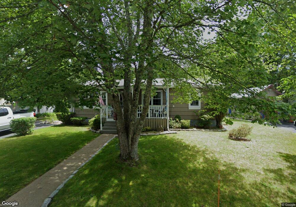
36 Rhode Island Ave North Dartmouth, MA 02747
Smith Mills NeighborhoodEstimated Value: $442,000 - $524,000
--
Bed
1
Bath
--
Sq Ft
10,019
Sq Ft Lot
About This Home
This home is located at 36 Rhode Island Ave, North Dartmouth, MA 02747 and is currently estimated at $481,437. 36 Rhode Island Ave is a home located in Bristol County with nearby schools including Dartmouth High School, Nazarene Christian Academy, and Friends Academy.
Ownership History
Date
Name
Owned For
Owner Type
Purchase Details
Closed on
Aug 11, 1989
Sold by
Swallow Joshua
Bought by
Glennon Michael T
Current Estimated Value
Home Financials for this Owner
Home Financials are based on the most recent Mortgage that was taken out on this home.
Original Mortgage
$70,000
Interest Rate
9.93%
Mortgage Type
Purchase Money Mortgage
Create a Home Valuation Report for This Property
The Home Valuation Report is an in-depth analysis detailing your home's value as well as a comparison with similar homes in the area
Home Values in the Area
Average Home Value in this Area
Purchase History
| Date | Buyer | Sale Price | Title Company |
|---|---|---|---|
| Glennon Michael T | $100,000 | -- |
Source: Public Records
Mortgage History
| Date | Status | Borrower | Loan Amount |
|---|---|---|---|
| Closed | Glennon Michael T | $71,000 | |
| Closed | Glennon Michael T | $70,000 |
Source: Public Records
Tax History Compared to Growth
Tax History
| Year | Tax Paid | Tax Assessment Tax Assessment Total Assessment is a certain percentage of the fair market value that is determined by local assessors to be the total taxable value of land and additions on the property. | Land | Improvement |
|---|---|---|---|---|
| 2025 | $3,004 | $331,900 | $120,600 | $211,300 |
| 2024 | $2,832 | $309,800 | $120,600 | $189,200 |
| 2023 | $2,834 | $292,500 | $120,600 | $171,900 |
| 2022 | $2,751 | $265,500 | $120,600 | $144,900 |
| 2021 | $2,818 | $260,200 | $117,100 | $143,100 |
| 2020 | $2,580 | $237,100 | $99,200 | $137,900 |
| 2019 | $2,498 | $230,200 | $93,200 | $137,000 |
| 2018 | $2,917 | $219,000 | $95,600 | $123,400 |
| 2017 | $2,204 | $207,100 | $90,200 | $116,900 |
| 2016 | $2,151 | $203,300 | $92,400 | $110,900 |
| 2015 | $2,039 | $194,000 | $81,100 | $112,900 |
| 2014 | $2,010 | $192,500 | $81,200 | $111,300 |
Source: Public Records
Map
Nearby Homes
- 461 Reed Rd
- 65 Cross Rd
- 320 Old Westport Rd
- 735 Reed Rd
- 312 Old Westport Rd
- 310 Old Westport Rd
- 53 Morton Ave
- 55 Lakeside Ave
- 818 Reed Rd
- 56 Lakeside Ave
- 4 Sabrinas Way
- 4 Sabrina Way Unit A
- 4 Sabrina Way Unit C
- 4 Sabrina Way Unit B
- 4 Sabrina Way Unit D
- 3 Roller Coaster Way Unit Lot 1
- 28 Greystone Ave
- 368 Cross Rd
- Lot 6 Rafael Rd
- 29 Union Ave
- 38 Rhode Island Ave
- 34 Rhode Island Ave
- 31 Rhode Island Ave
- 37 Rhode Island Ave
- 37 Connecticut Ave
- 43 Connecticut Ave
- 8 Melrose Ave
- 27 Rhode Island Ave
- 11 Carter St
- 11 Rhode Island Ave
- 0 Rhode Island Ave
- 7 Carter St
- 51 Connecticut Ave
- 12 Melrose Ave
- 19 Carter St
- 27 Connecticut Ave
- 51 Massachusetts Ave
- 46 Connecticut Ave
- 42 Connecticut Ave
- 55 Connecticut Ave