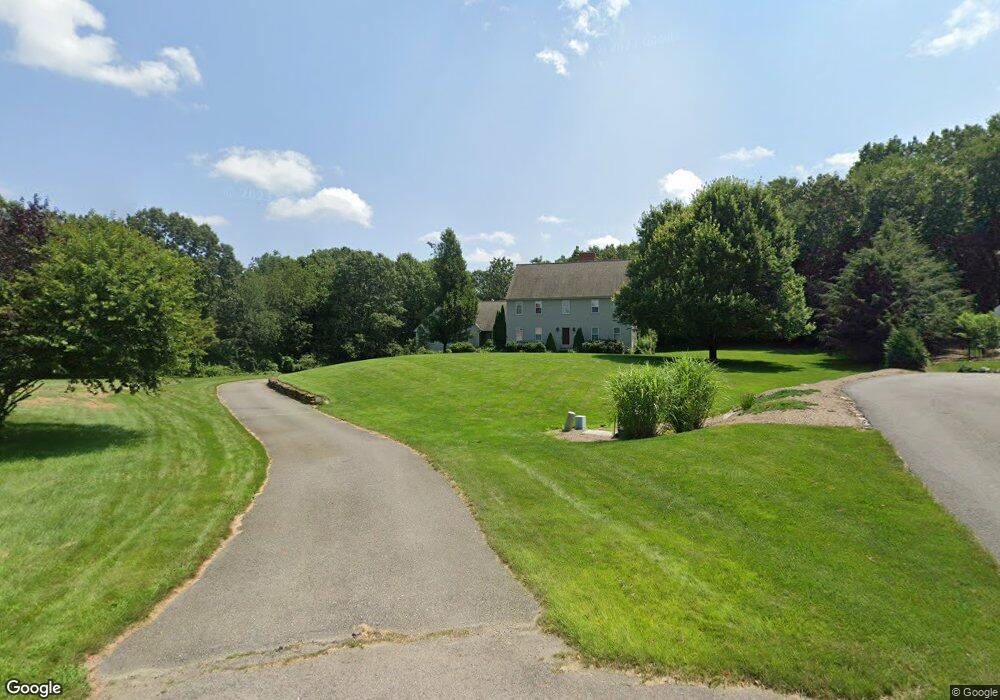
36 Rocky Dundee Rd Bolton, MA 01740
Estimated Value: $966,000 - $1,279,000
4
Beds
4
Baths
4,474
Sq Ft
$263/Sq Ft
Est. Value
About This Home
This home is located at 36 Rocky Dundee Rd, Bolton, MA 01740 and is currently estimated at $1,177,434, approximately $263 per square foot. 36 Rocky Dundee Rd is a home located in Worcester County with nearby schools including Florence Sawyer School and Nashoba Regional High School.
Ownership History
Date
Name
Owned For
Owner Type
Purchase Details
Closed on
Jan 11, 2002
Sold by
Bow House Inc
Bought by
Rose Robert William and Rose Corinne M
Current Estimated Value
Home Financials for this Owner
Home Financials are based on the most recent Mortgage that was taken out on this home.
Original Mortgage
$275,000
Interest Rate
7.04%
Mortgage Type
Purchase Money Mortgage
Create a Home Valuation Report for This Property
The Home Valuation Report is an in-depth analysis detailing your home's value as well as a comparison with similar homes in the area
Home Values in the Area
Average Home Value in this Area
Purchase History
| Date | Buyer | Sale Price | Title Company |
|---|---|---|---|
| Rose Robert William | $850,000 | -- |
Source: Public Records
Mortgage History
| Date | Status | Borrower | Loan Amount |
|---|---|---|---|
| Open | Rose Robert William | $310,000 | |
| Closed | Rose Robert William | $275,000 |
Source: Public Records
Tax History Compared to Growth
Tax History
| Year | Tax Paid | Tax Assessment Tax Assessment Total Assessment is a certain percentage of the fair market value that is determined by local assessors to be the total taxable value of land and additions on the property. | Land | Improvement |
|---|---|---|---|---|
| 2025 | $17,235 | $1,037,000 | $219,700 | $817,300 |
| 2024 | $16,501 | $1,014,800 | $209,700 | $805,100 |
| 2023 | $16,387 | $936,400 | $204,700 | $731,700 |
| 2022 | $15,318 | $770,900 | $184,700 | $586,200 |
| 2021 | $15,140 | $725,800 | $184,700 | $541,100 |
| 2020 | $17,207 | $843,900 | $184,700 | $659,200 |
| 2019 | $16,495 | $805,800 | $184,700 | $621,100 |
| 2018 | $16,449 | $796,200 | $179,700 | $616,500 |
| 2017 | $15,845 | $747,400 | $174,700 | $572,700 |
| 2016 | $15,262 | $729,900 | $159,700 | $570,200 |
| 2015 | $15,181 | $723,600 | $164,700 | $558,900 |
| 2014 | $14,134 | $666,700 | $169,700 | $497,000 |
Source: Public Records
Map
Nearby Homes
- 3 Randall Rd
- 57 Sunset Ridge Ln Unit 57
- 339 Old Central St
- 167 Lancaster Rd
- 152 Coburn Rd
- 315 Central St
- 172 Ballville Rd
- 108 Oak Trail
- 6 Mcnulty Rd
- 720 Main St
- 98 Coburn Rd
- 0 Wattaquadock Hill Rd
- 54 Main St
- 18 Sargent Rd
- 1A Sanders Ln
- 6A Sanders Ln
- 11 Mallard Ln Unit 8
- 1 Mallard Ln Unit 1
- 56 Century Mill Rd
- 23 Harvard Rd
- 32 Rocky Dundee Rd
- 28 Rocky Dundee Rd
- 24 Rocky Dundee Rd
- 20 Rocky Dundee Rd
- 387 Berlin Rd
- 4 Rocky Dundee Rd
- 389 Berlin Rd
- 2 Rocky Dundee Rd
- 367 Berlin Rd
- 16 Rocky Dundee Rd
- 12 Rocky Dundee Rd
- 337 Berlin Rd
- 339 Berlin Rd
- 325 Berlin Rd
- 359 Berlin Rd
- 8 Rocky Dundee Rd
- 385 Berlin Rd
- 397 Berlin Rd
- 0 Frye Rd
- 334 Berlin Rd