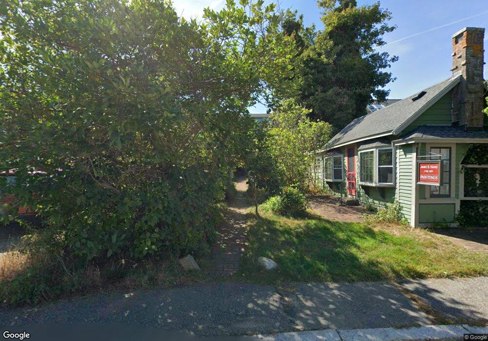
36 Rocky Neck Ave Gloucester, MA 01930
East Gloucester NeighborhoodEstimated Value: $751,000 - $1,211,000
2
Beds
3
Baths
1,466
Sq Ft
$677/Sq Ft
Est. Value
About This Home
This home is located at 36 Rocky Neck Ave, Gloucester, MA 01930 and is currently estimated at $992,329, approximately $676 per square foot. 36 Rocky Neck Ave is a home located in Essex County with nearby schools including East Gloucester Elementary School, Ralph B O'maley Middle School, and Gloucester High School.
Ownership History
Date
Name
Owned For
Owner Type
Purchase Details
Closed on
Jul 2, 1999
Sold by
Alvey Susan C
Bought by
Hand James B
Current Estimated Value
Purchase Details
Closed on
Aug 30, 1996
Sold by
Boylan Mary John
Bought by
Alvey Susan C
Create a Home Valuation Report for This Property
The Home Valuation Report is an in-depth analysis detailing your home's value as well as a comparison with similar homes in the area
Home Values in the Area
Average Home Value in this Area
Purchase History
| Date | Buyer | Sale Price | Title Company |
|---|---|---|---|
| Hand James B | $380,000 | -- | |
| Alvey Susan C | $249,000 | -- |
Source: Public Records
Mortgage History
| Date | Status | Borrower | Loan Amount |
|---|---|---|---|
| Open | Alvey Susan C | $100,000 | |
| Previous Owner | Alvey Susan C | $173,500 |
Source: Public Records
Tax History Compared to Growth
Tax History
| Year | Tax Paid | Tax Assessment Tax Assessment Total Assessment is a certain percentage of the fair market value that is determined by local assessors to be the total taxable value of land and additions on the property. | Land | Improvement |
|---|---|---|---|---|
| 2025 | $8,348 | $858,800 | $493,000 | $365,800 |
| 2024 | $8,127 | $835,300 | $469,500 | $365,800 |
| 2023 | $7,632 | $720,700 | $400,600 | $320,100 |
| 2022 | $7,381 | $629,200 | $348,300 | $280,900 |
| 2021 | $7,127 | $572,900 | $316,800 | $256,100 |
| 2020 | $7,031 | $570,200 | $316,800 | $253,400 |
| 2019 | $6,698 | $527,800 | $302,100 | $225,700 |
| 2018 | $6,483 | $501,400 | $294,700 | $206,700 |
| 2017 | $6,289 | $476,800 | $280,600 | $196,200 |
| 2016 | $6,040 | $443,800 | $268,500 | $175,300 |
| 2015 | $5,920 | $433,700 | $271,400 | $162,300 |
Source: Public Records
Map
Nearby Homes
- 1 Wonson St
- 73 Rocky Neck Ave Unit 2
- 7 Rackliffe St Unit 1
- 60 Rocky Neck Ave Unit 202
- 7 Hawthorne Ln
- 197 E Main St
- 197 E Main St Unit 1
- 197 E Main St Unit 2
- 197 E Main St Unit 1 & 2
- 191 Main St Unit 2B
- 191 Main St Unit 3
- 191 Main St Unit 2A
- 4 Hillside Rd
- 90 Middle St Unit L
- 35 Middle St Unit 4
- 33 Middle St
- 30 Chapel St Unit B
- 100 E Main St
- 97 E Main St
- 160 Prospect St Unit 3
- 36R Rocky Neck Ave
- 36 Rocky Neck Ave
- 38 Rocky Neck Ave
- 19 Wonson St
- 34 Rocky Neck Ave
- 17 Wonson St
- 37 Rocky Neck Ave Unit 1
- 37 Rocky Neck Ave Unit A
- 40 Rocky Neck Ave
- 13 Wonson St
- 21 Wonson St
- 43 Rocky Neck Ave
- 45 Rocky Neck Ave
- 30 Rocky Neck Ave
- 12 Wonson St
- 23 R Wonson St
- 23 Wonson St
- 23 Wonson St Unit Rear
- 23 Wonson St Unit Cottage
- 9 Wonson St