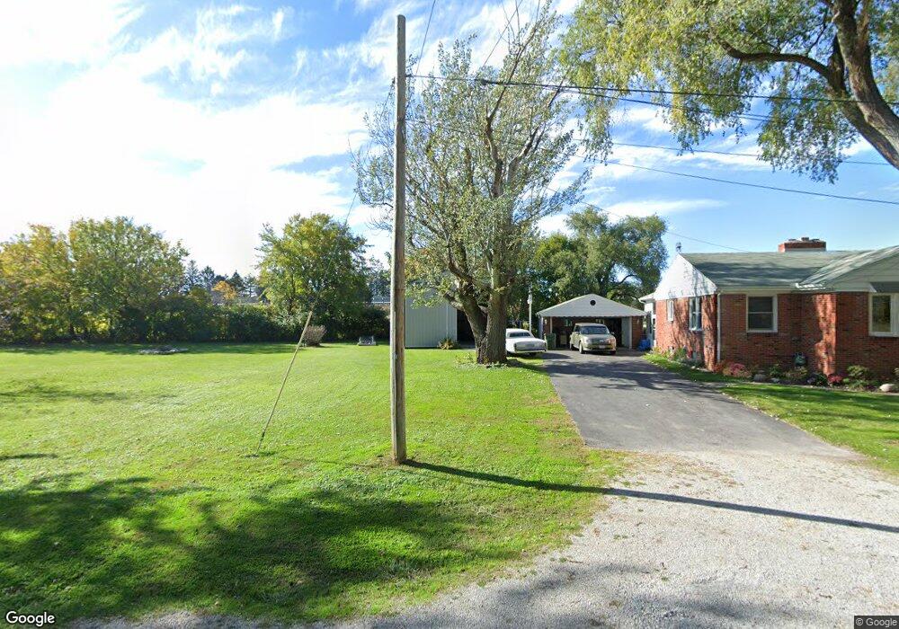
36 S Faythe Dr Port Clinton, OH 43452
Estimated Value: $196,406 - $315,000
3
Beds
1
Bath
1,206
Sq Ft
$212/Sq Ft
Est. Value
About This Home
This home is located at 36 S Faythe Dr, Port Clinton, OH 43452 and is currently estimated at $255,852, approximately $212 per square foot. 36 S Faythe Dr is a home with nearby schools including Bataan Memorial Primary School, Bataan Memorial Intermediate School, and Port Clinton Middle School.
Ownership History
Date
Name
Owned For
Owner Type
Purchase Details
Closed on
Dec 19, 2019
Sold by
Kelley John M and Kelley Mary A
Bought by
Radebaugh Barbara J and Radebaugh Randall K
Current Estimated Value
Home Financials for this Owner
Home Financials are based on the most recent Mortgage that was taken out on this home.
Original Mortgage
$137,700
Interest Rate
3.6%
Mortgage Type
VA
Purchase Details
Closed on
Jul 27, 2010
Sold by
Minier Irene E
Bought by
Kelley John M and Kelley Mary A
Create a Home Valuation Report for This Property
The Home Valuation Report is an in-depth analysis detailing your home's value as well as a comparison with similar homes in the area
Home Values in the Area
Average Home Value in this Area
Purchase History
| Date | Buyer | Sale Price | Title Company |
|---|---|---|---|
| Radebaugh Barbara J | $161,150 | None Available | |
| Kelley John M | $90,000 | Attorney |
Source: Public Records
Mortgage History
| Date | Status | Borrower | Loan Amount |
|---|---|---|---|
| Closed | Radebaugh Barbara J | $137,700 |
Source: Public Records
Tax History Compared to Growth
Tax History
| Year | Tax Paid | Tax Assessment Tax Assessment Total Assessment is a certain percentage of the fair market value that is determined by local assessors to be the total taxable value of land and additions on the property. | Land | Improvement |
|---|---|---|---|---|
| 2024 | $1,795 | $52,284 | $12,940 | $39,344 |
| 2023 | $1,795 | $41,160 | $9,604 | $31,556 |
| 2022 | $1,539 | $41,160 | $9,604 | $31,556 |
| 2021 | $1,537 | $41,150 | $9,600 | $31,550 |
| 2020 | $1,422 | $36,560 | $7,680 | $28,880 |
| 2019 | $1,400 | $36,560 | $7,680 | $28,880 |
| 2018 | $1,355 | $36,560 | $7,680 | $28,880 |
| 2017 | $1,331 | $35,340 | $7,370 | $27,970 |
| 2016 | $1,334 | $35,340 | $7,370 | $27,970 |
| 2015 | $1,339 | $35,340 | $7,370 | $27,970 |
| 2014 | $1,283 | $33,450 | $7,370 | $26,080 |
| 2013 | $1,283 | $33,450 | $7,370 | $26,080 |
Source: Public Records
Map
Nearby Homes
- 12 N Beach St
- 19 N Beach St
- 2650 E Harbor Rd
- 0 E Harbor Rd
- 2006 E Harbor Rd
- 34 Grande Lake Dr Unit C
- 1807 E Perry St Unit 69
- 1803 E Perry St Unit 36
- 1801 E Perry St Unit 22
- 2321 E State Rd
- 2130 E Sand Rd
- 115 Driftwood Dr
- 168 Morningside Dr
- 635 S Liz Ln
- 188 Driftwood Dr
- 183 Driftwood Dr
- 1805 Briarcrest Dr
- 120 Maple St
- 214 Linden St
- 116 Walnut St
- 18 S Faythe Dr
- 39 S Faythe Dr
- 21 S Faythe Dr
- 8 N Shawnee Dr
- 21 N Shawnee Dr
- 36 S Dolores Dr
- 103 East St
- 20 S Dolores Dr
- 1 Delores (Dolores) Dr
- 36 N Shawnee Dr
- 0 S Dolores Dr
- 41 N Shawnee Dr
- 56 N Shawnee Dr
- 1965 East Harbor Rd
- 51 N Shawnee Dr
- 25 S Dolores Dr
- 61 N Shawnee Dr
- 1909 East Harbor Rd
- 1909 East Harbor Rd
- 1909 East Harbor Rd