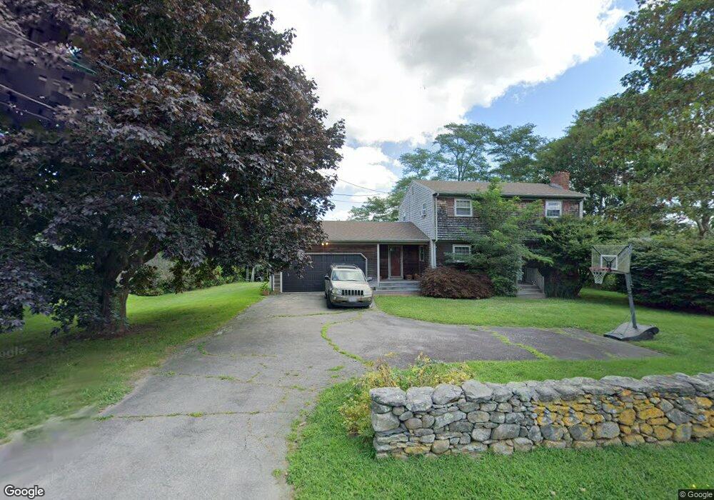
36 S Shore Rd Little Compton, RI 02837
Estimated Value: $707,790 - $991,000
4
Beds
2
Baths
1,663
Sq Ft
$512/Sq Ft
Est. Value
About This Home
This home is located at 36 S Shore Rd, Little Compton, RI 02837 and is currently estimated at $851,698, approximately $512 per square foot. 36 S Shore Rd is a home located in Newport County with nearby schools including Wilbur & McMahon School.
Ownership History
Date
Name
Owned For
Owner Type
Purchase Details
Closed on
Dec 9, 2016
Sold by
Valcourt Chad E and Torchia Robert C
Bought by
Lews Kane K
Current Estimated Value
Home Financials for this Owner
Home Financials are based on the most recent Mortgage that was taken out on this home.
Original Mortgage
$346,750
Outstanding Balance
$278,073
Interest Rate
3.47%
Mortgage Type
New Conventional
Estimated Equity
$573,625
Purchase Details
Closed on
Jul 30, 2015
Sold by
Cawley Stuart
Bought by
Valcourt Chaed E and Torchia Robert C
Purchase Details
Closed on
Sep 9, 1998
Sold by
Kaempf Wayne D and Kaempf Marry Ann
Bought by
Cawley Stuart and Cawley Darrah L
Create a Home Valuation Report for This Property
The Home Valuation Report is an in-depth analysis detailing your home's value as well as a comparison with similar homes in the area
Home Values in the Area
Average Home Value in this Area
Purchase History
| Date | Buyer | Sale Price | Title Company |
|---|---|---|---|
| Lews Kane K | $365,000 | -- | |
| Valcourt Chaed E | $230,000 | -- | |
| Cawley Stuart | $168,000 | -- | |
| Valcourt Chaed E | $230,000 | -- | |
| Cawley Stuart | $168,000 | -- |
Source: Public Records
Mortgage History
| Date | Status | Borrower | Loan Amount |
|---|---|---|---|
| Open | Cawley Stuart | $346,750 | |
| Closed | Cawley Stuart | $346,750 |
Source: Public Records
Tax History
| Year | Tax Paid | Tax Assessment Tax Assessment Total Assessment is a certain percentage of the fair market value that is determined by local assessors to be the total taxable value of land and additions on the property. | Land | Improvement |
|---|---|---|---|---|
| 2025 | $2,561 | $534,600 | $233,700 | $300,900 |
| 2024 | $2,394 | $471,200 | $203,200 | $268,000 |
| 2023 | $2,337 | $471,200 | $203,200 | $268,000 |
| 2022 | $2,309 | $471,200 | $203,200 | $268,000 |
| 2021 | $2,176 | $360,200 | $176,800 | $183,400 |
| 2020 | $2,158 | $360,200 | $176,800 | $183,400 |
| 2019 | $2,136 | $360,200 | $176,800 | $183,400 |
| 2018 | $1,895 | $318,000 | $149,200 | $168,800 |
| 2016 | $1,803 | $318,000 | $149,200 | $168,800 |
| 2015 | $1,942 | $337,700 | $150,700 | $187,000 |
| 2014 | $1,905 | $337,700 | $150,700 | $187,000 |
Source: Public Records
Map
Nearby Homes
- 89 S Shore Rd
- 128 Maple Ave
- 30 Indian Rd
- 141 S Of Commons Rd
- 49 Ocean Dr
- 0 Willow Ave
- 38 Old Bull Ln
- 505 Long Hwy
- 255 John Dyer Rd
- 141 Peckham Rd
- 441 W Main Rd
- 245 John Dyer Rd
- 180 W Main Rd
- 1 Puddingstone Cir
- 140I Long Hwy
- 140 Long Hwy
- 17 Ferolbink Way
- 155 W Main Rd
- 116 Amy Hart Path
- 17 Amy Hart Path
Your Personal Tour Guide
Ask me questions while you tour the home.