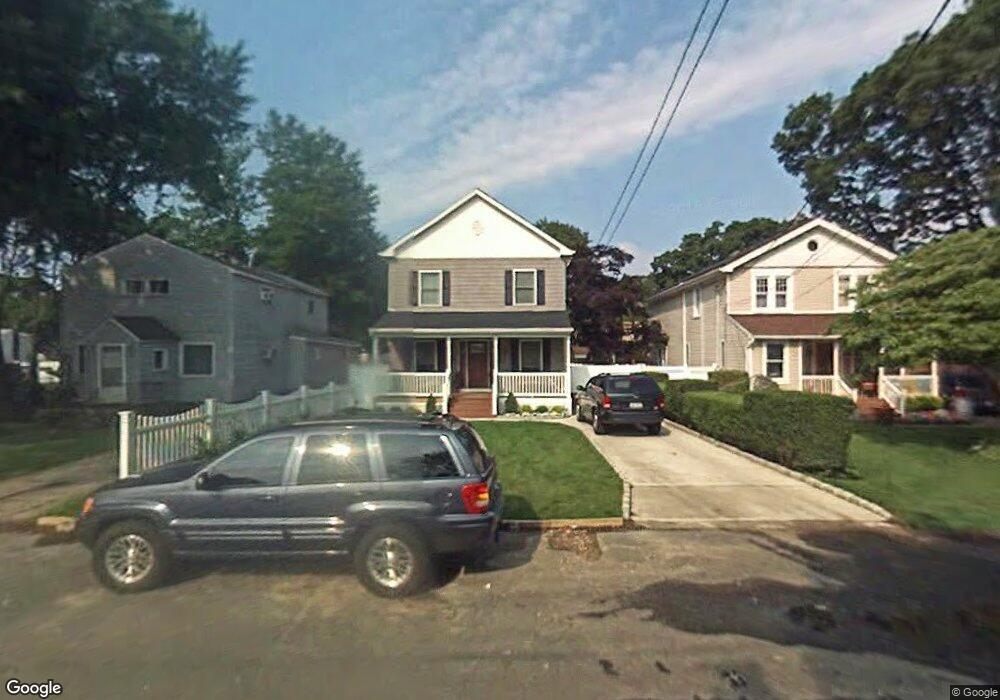
36 Santapogue Ct West Babylon, NY 11704
Estimated Value: $618,826 - $792,000
--
Bed
--
Bath
1,985
Sq Ft
$344/Sq Ft
Est. Value
About This Home
This home is located at 36 Santapogue Ct, West Babylon, NY 11704 and is currently estimated at $682,942, approximately $344 per square foot. 36 Santapogue Ct is a home located in Suffolk County.
Ownership History
Date
Name
Owned For
Owner Type
Purchase Details
Closed on
Jun 6, 2024
Sold by
Inzirillo Joseph and Inzirillo Caroline
Bought by
Inzirillo Caroline and Troia Stephanie A
Current Estimated Value
Purchase Details
Closed on
Oct 26, 2007
Purchase Details
Closed on
Apr 11, 2007
Purchase Details
Closed on
Oct 20, 2005
Sold by
Hartmann Yvonne
Bought by
Madsen Patricia
Purchase Details
Closed on
Dec 1, 1994
Sold by
Hartmann Harold H and Hartmann Yvonne
Bought by
Hartmann Yvonne
Create a Home Valuation Report for This Property
The Home Valuation Report is an in-depth analysis detailing your home's value as well as a comparison with similar homes in the area
Home Values in the Area
Average Home Value in this Area
Purchase History
| Date | Buyer | Sale Price | Title Company |
|---|---|---|---|
| Inzirillo Caroline | $150,000 | None Available | |
| Inzirillo Caroline | $150,000 | None Available | |
| -- | $220,000 | -- | |
| -- | $220,000 | -- | |
| -- | $316,146 | -- | |
| -- | $316,146 | -- | |
| Madsen Patricia | $336,000 | Frank Castiglione | |
| Madsen Patricia | $336,000 | Frank Castiglione | |
| Hartmann Yvonne | -- | First American Title Ins Co | |
| Hartmann Yvonne | -- | First American Title Ins Co |
Source: Public Records
Tax History Compared to Growth
Tax History
| Year | Tax Paid | Tax Assessment Tax Assessment Total Assessment is a certain percentage of the fair market value that is determined by local assessors to be the total taxable value of land and additions on the property. | Land | Improvement |
|---|---|---|---|---|
| 2024 | $13,490 | $3,890 | $150 | $3,740 |
| 2023 | $13,490 | $3,890 | $150 | $3,740 |
| 2022 | $11,381 | $3,890 | $150 | $3,740 |
| 2021 | $11,381 | $3,890 | $150 | $3,740 |
| 2020 | $11,677 | $3,890 | $150 | $3,740 |
| 2019 | $11,677 | $0 | $0 | $0 |
| 2018 | $11,123 | $3,890 | $150 | $3,740 |
| 2017 | $11,123 | $3,890 | $150 | $3,740 |
| 2016 | $11,104 | $3,890 | $150 | $3,740 |
| 2015 | -- | $3,890 | $150 | $3,740 |
| 2014 | -- | $3,890 | $150 | $3,740 |
Source: Public Records
Map
Nearby Homes
- 27 E Neck Ct
- 49 Arnold Ave
- 45 Arnold Ave
- 5 Petersen Ct Unit 5
- 248 Arnold Ave
- 162 Millard Ave Unit 162
- 37 Beachwood Dr
- 204 Millard Ave Unit 204
- 32 Beachwood Dr
- 252 Locust Ave
- 7 Bailey Ave
- 243 Locust Ave
- 24 Lowerre St
- 246 Locust Ave
- 22 Bradish Ln
- 24 Raynor St
- 79 Woodrow Pkwy
- 144 Woodrow Pkwy
- 154A Woodrow Pkwy
- 219 Litchfield Ave
- 32 Santapogue Ct
- 40 Santapogue Ct
- 28 Santapogue Ct
- 23 Delano Place
- 48 Santapogue Ct
- 24 Santapogue Ct
- 20 Santapogue Ct
- 17 Delano Place
- 27 Woodbridge Ct
- 37 Woodbridge Ct
- 52 Santapogue Ct
- 29 Woodbridge Ct
- 35 Santapogue Ct
- 33 Santapogue Ct
- 16 Santapogue Ct
- 39 Santapogue Ct
- 27 Santapogue Ct
- 24 Delano Place
- 23 Santapogue Ct
- 11 Delano Place