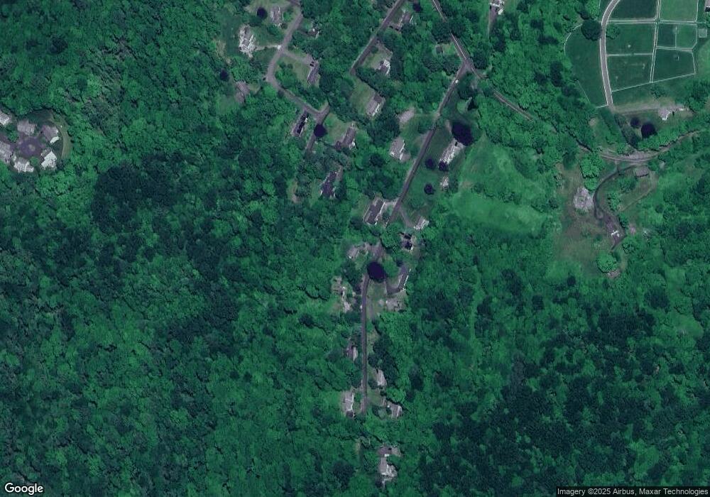
36 Sherman Heights Rd Woodbury, CT 06798
Estimated Value: $423,000 - $484,000
2
Beds
2
Baths
1,436
Sq Ft
$306/Sq Ft
Est. Value
About This Home
This home is located at 36 Sherman Heights Rd, Woodbury, CT 06798 and is currently estimated at $439,936, approximately $306 per square foot. 36 Sherman Heights Rd is a home located in Litchfield County with nearby schools including Mitchell Elementary School, Bethlehem Elementary School, and Woodbury Middle School.
Ownership History
Date
Name
Owned For
Owner Type
Purchase Details
Closed on
Aug 22, 2005
Sold by
Olson Mark
Bought by
Peck June
Current Estimated Value
Purchase Details
Closed on
May 24, 2002
Sold by
Otto Virginia
Bought by
Olson Mark
Purchase Details
Closed on
Aug 25, 1998
Sold by
Lamont Mildred
Bought by
Otto Virginia
Create a Home Valuation Report for This Property
The Home Valuation Report is an in-depth analysis detailing your home's value as well as a comparison with similar homes in the area
Home Values in the Area
Average Home Value in this Area
Purchase History
| Date | Buyer | Sale Price | Title Company |
|---|---|---|---|
| Peck June | $319,000 | -- | |
| Olson Mark | $252,000 | -- | |
| Otto Virginia | $150,000 | -- |
Source: Public Records
Mortgage History
| Date | Status | Borrower | Loan Amount |
|---|---|---|---|
| Open | Otto Virginia | $131,241 | |
| Closed | Otto Virginia | $120,575 | |
| Closed | Otto Virginia | $120,000 |
Source: Public Records
Tax History Compared to Growth
Tax History
| Year | Tax Paid | Tax Assessment Tax Assessment Total Assessment is a certain percentage of the fair market value that is determined by local assessors to be the total taxable value of land and additions on the property. | Land | Improvement |
|---|---|---|---|---|
| 2025 | $5,709 | $241,710 | $61,740 | $179,970 |
| 2024 | $5,600 | $241,710 | $61,740 | $179,970 |
| 2023 | $5,182 | $178,310 | $61,740 | $116,570 |
| 2022 | $5,201 | $178,310 | $61,740 | $116,570 |
| 2021 | $5,201 | $178,310 | $61,740 | $116,570 |
| 2020 | $5,201 | $178,310 | $61,740 | $116,570 |
| 2019 | $5,201 | $178,310 | $61,740 | $116,570 |
| 2018 | $5,297 | $199,280 | $75,460 | $123,820 |
| 2017 | $5,412 | $199,280 | $75,460 | $123,820 |
| 2016 | $5,239 | $199,280 | $75,460 | $123,820 |
| 2015 | $5,195 | $199,280 | $75,460 | $123,820 |
| 2014 | $5,120 | $199,280 | $75,460 | $123,820 |
Source: Public Records
Map
Nearby Homes
- 225 Old Sherman Hill Rd
- 49 Scuppo Rd
- 52 Scuppo Rd
- 74 Middle Quarter Rd
- 36 Heritage Dr
- 229 Bacon Pond Rd Unit 332
- 229 Bacon Pond Rd Unit 113
- 229 Bacon Pond Rd Unit 454
- 25 Curtiss Meadows
- 223 Tuttle Rd
- 60 Pomperaug Rd
- 84 Hurds Hill Rd
- 295 Old Woodbury Rd
- 337 Main St S
- 120 Lum Lot Rd
- 14 Mountain Rd
- 2 Judd Hill Rd
- 54 Mountain Rd
- 212 Beecher Dr
- 227 Dublin Hill Rd
- 28 Sherman Heights Rd
- 37 Sherman Heights Rd
- 44 Sherman Heights Rd
- 31 Sherman Heights Rd
- 39 Hyland Ave
- 45 Sherman Heights Rd
- 27 Sherman Heights Rd
- 52 Sherman Heights Rd
- 29 Hyland Ave
- 57 Sherman Heights Rd
- 8 Sherman Heights Rd
- 8 Sherman Heights Rd Unit Rd
- 58 Sherman Heights Rd
- 15 Sherman Heights Rd
- 23 Hyland Ave
- 30 Hyland Ave
- 61 Sherman Heights Rd
- 27 Orchard Ln
- 17 Hyland Ave
- 11 Orchard Ln
