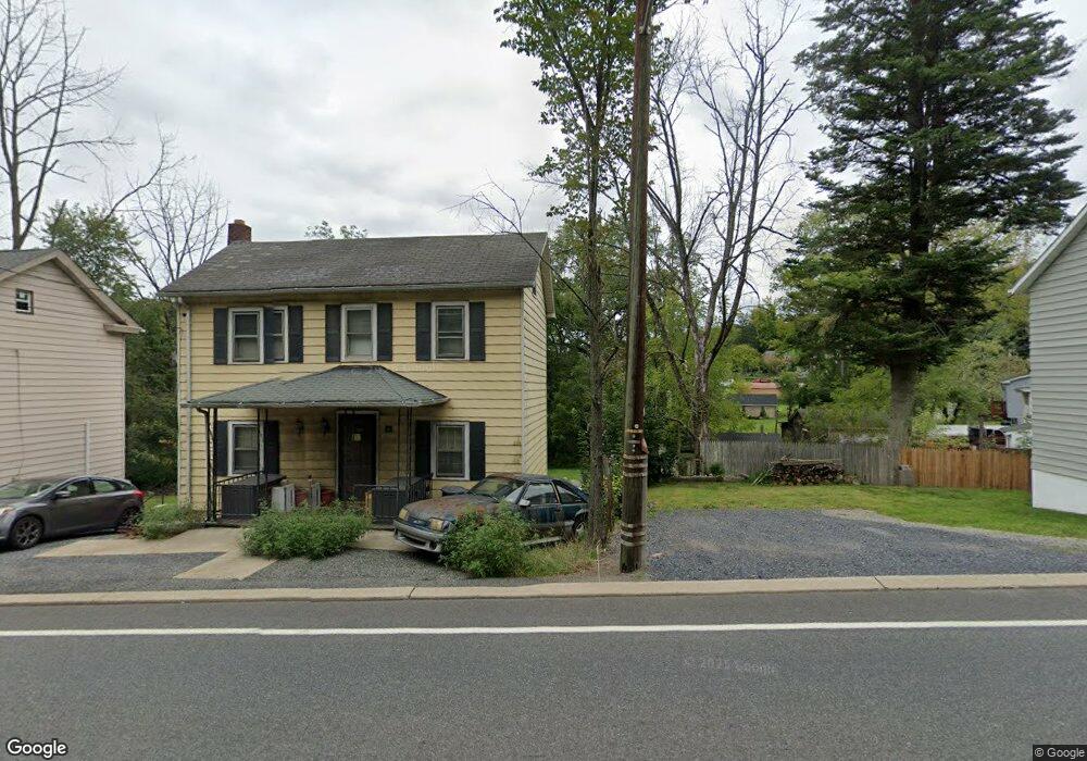
36 State Route 31 N Oxford, NJ 07863
Estimated Value: $190,000 - $245,246
--
Bed
--
Bath
960
Sq Ft
$228/Sq Ft
Est. Value
About This Home
This home is located at 36 State Route 31 N, Oxford, NJ 07863 and is currently estimated at $219,312, approximately $228 per square foot. 36 State Route 31 N is a home with nearby schools including Oxford Central School.
Ownership History
Date
Name
Owned For
Owner Type
Purchase Details
Closed on
Aug 25, 2006
Sold by
Cherifi Tonya
Bought by
Castiglia John
Current Estimated Value
Home Financials for this Owner
Home Financials are based on the most recent Mortgage that was taken out on this home.
Original Mortgage
$145,000
Interest Rate
6.3%
Mortgage Type
Purchase Money Mortgage
Purchase Details
Closed on
Mar 11, 2004
Sold by
Patrick Lester
Bought by
Cherifi Tonya
Home Financials for this Owner
Home Financials are based on the most recent Mortgage that was taken out on this home.
Original Mortgage
$77,300
Interest Rate
3.87%
Mortgage Type
Stand Alone First
Create a Home Valuation Report for This Property
The Home Valuation Report is an in-depth analysis detailing your home's value as well as a comparison with similar homes in the area
Home Values in the Area
Average Home Value in this Area
Purchase History
| Date | Buyer | Sale Price | Title Company |
|---|---|---|---|
| Castiglia John | $145,000 | Rush Title Llc | |
| Cherifi Tonya | $85,900 | First American Title Ins Co |
Source: Public Records
Mortgage History
| Date | Status | Borrower | Loan Amount |
|---|---|---|---|
| Previous Owner | Castiglia John | $145,000 | |
| Previous Owner | Cherifi Tonya | $77,300 |
Source: Public Records
Tax History Compared to Growth
Tax History
| Year | Tax Paid | Tax Assessment Tax Assessment Total Assessment is a certain percentage of the fair market value that is determined by local assessors to be the total taxable value of land and additions on the property. | Land | Improvement |
|---|---|---|---|---|
| 2025 | $5,240 | $108,100 | $22,800 | $85,300 |
| 2024 | $4,825 | $108,100 | $22,800 | $85,300 |
| 2023 | $4,742 | $108,100 | $22,800 | $85,300 |
| 2022 | $4,742 | $108,100 | $22,800 | $85,300 |
| 2021 | $4,433 | $108,100 | $22,800 | $85,300 |
| 2020 | $4,510 | $108,100 | $22,800 | $85,300 |
| 2019 | $4,341 | $108,100 | $22,800 | $85,300 |
| 2018 | $4,341 | $108,100 | $22,800 | $85,300 |
| 2017 | $4,245 | $108,100 | $22,800 | $85,300 |
| 2016 | $4,270 | $108,100 | $22,800 | $85,300 |
| 2015 | $3,558 | $114,600 | $40,700 | $73,900 |
| 2014 | $3,336 | $114,600 | $40,700 | $73,900 |
Source: Public Records
Map
Nearby Homes
- 5 Orams Ln
- 121 New St
- 59 Back St
- 46 Back St
- 120 Axford Ave
- 40 Washington Ave
- 20 Belvidere Ave
- 305 Route 31
- 301 New Jersey 31
- 11 Scranton Pkwy
- 15 Henderson St
- 97 Belvidere Ave
- 49 Henry St
- 349 New Jersey 31
- 81 Pinehurst Dr Unit 804
- 95 Pinehurst Dr Unit 602
- 138 Belvidere Ave
- 56 Congressional Blvd Unit 1301
- 55 Congressional Blvd Unit 1302
- 100 Pinehurst Dr Unit 505