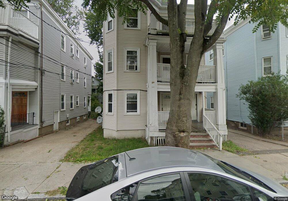
36 Stellman Rd Unit 3 Roslindale, MA 02131
Roslindale NeighborhoodEstimated Value: $1,146,000 - $1,312,281
3
Beds
1
Bath
1,010
Sq Ft
$1,202/Sq Ft
Est. Value
About This Home
This home is located at 36 Stellman Rd Unit 3, Roslindale, MA 02131 and is currently estimated at $1,214,320, approximately $1,202 per square foot. 36 Stellman Rd Unit 3 is a home located in Suffolk County with nearby schools including Brooke Charter School Roslindale, The Croft School - Jamaica Plain, and Sacred Heart STEM School.
Ownership History
Date
Name
Owned For
Owner Type
Purchase Details
Closed on
Jul 1, 2005
Sold by
Antonaros Michael
Bought by
Quill Kenneth S
Current Estimated Value
Home Financials for this Owner
Home Financials are based on the most recent Mortgage that was taken out on this home.
Original Mortgage
$500,000
Outstanding Balance
$262,185
Interest Rate
5.73%
Mortgage Type
Purchase Money Mortgage
Estimated Equity
$952,135
Create a Home Valuation Report for This Property
The Home Valuation Report is an in-depth analysis detailing your home's value as well as a comparison with similar homes in the area
Home Values in the Area
Average Home Value in this Area
Purchase History
| Date | Buyer | Sale Price | Title Company |
|---|---|---|---|
| Quill Kenneth S | $625,000 | -- |
Source: Public Records
Mortgage History
| Date | Status | Borrower | Loan Amount |
|---|---|---|---|
| Open | Quill Kenneth S | $500,000 |
Source: Public Records
Tax History Compared to Growth
Tax History
| Year | Tax Paid | Tax Assessment Tax Assessment Total Assessment is a certain percentage of the fair market value that is determined by local assessors to be the total taxable value of land and additions on the property. | Land | Improvement |
|---|---|---|---|---|
| 2025 | $12,626 | $1,090,300 | $224,600 | $865,700 |
| 2024 | $12,146 | $1,114,300 | $242,000 | $872,300 |
| 2023 | $11,399 | $1,061,400 | $230,500 | $830,900 |
| 2022 | $10,992 | $1,010,300 | $219,400 | $790,900 |
| 2021 | $10,466 | $980,900 | $213,000 | $767,900 |
| 2020 | $8,437 | $799,000 | $204,800 | $594,200 |
| 2019 | $7,654 | $726,200 | $157,800 | $568,400 |
| 2018 | $7,115 | $678,900 | $157,800 | $521,100 |
| 2017 | $6,843 | $646,200 | $157,800 | $488,400 |
| 2016 | $6,771 | $615,500 | $157,800 | $457,700 |
| 2015 | $6,200 | $512,000 | $118,600 | $393,400 |
| 2014 | $5,582 | $443,700 | $118,600 | $325,100 |
Source: Public Records
Map
Nearby Homes
- 39 Harrison St Unit B
- 21 Bexley Rd
- 620 South St
- 25 Harrison St Unit C
- 108 Florence St Unit 3
- 108 Florence St Unit 1
- 108 Florence St Unit 2
- 4031 Washington St
- 173 Brookway Rd
- 375 Hyde Park Ave Unit 3
- 391 Hyde Park Ave Unit 112
- 20 Taft Hill Park Unit 5
- 12 Wyvern St Unit 2
- 67 Cummins Hwy Unit 101
- 18-20 Northbourne Rd Unit 18
- 36 Neponset Ave Unit 1
- 46 Southbourne Rd
- 5 Eldridge Rd Unit 3
- 27 Rowe St
- 32 Jewett St
- 36 Stellman Rd
- 38 Stellman Rd
- 34 Stellman Rd
- 34 Stellman Rd
- 34 Stellman Rd Unit 3
- 40 Stellman Rd
- 40 Stellman Rd Unit THREE
- 40 Stellman Rd Unit 2
- 40 Stellman Rd Unit 1
- 40 Stellman Rd Unit 3
- 32 Stellman Rd
- 32 Stellman Rd Unit 1
- 32 Stellman Rd
- 32 Stellman Rd Unit 2
- 32 Stellman Rd Unit 3
- 31 Granfield Ave
- 33 Granfield Ave
- 29 Granfield Ave
- 35 Granfield Ave
- 30 Stellman Rd