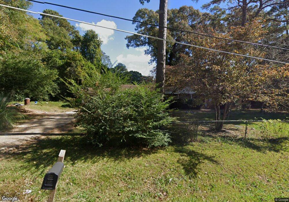
36 Sunset Dr Lagrange, GA 30240
Estimated Value: $139,000 - $256,000
3
Beds
2
Baths
2,576
Sq Ft
$80/Sq Ft
Est. Value
About This Home
This home is located at 36 Sunset Dr, Lagrange, GA 30240 and is currently estimated at $204,808, approximately $79 per square foot. 36 Sunset Dr is a home located in Troup County with nearby schools including Berta Weathersbee Elementary School, Whitesville Road Elementary School, and Long Cane Elementary School.
Ownership History
Date
Name
Owned For
Owner Type
Purchase Details
Closed on
Sep 21, 1995
Sold by
Opal Harrington
Bought by
Grissom Lizzie Mae
Current Estimated Value
Purchase Details
Closed on
Aug 1, 1995
Sold by
Janice Buttrum
Bought by
Opal Harrington
Purchase Details
Closed on
Oct 25, 1994
Sold by
Opal Harrington
Bought by
Janice Buttrum
Purchase Details
Closed on
Jul 10, 1991
Bought by
Opal Harrington
Purchase Details
Closed on
Jan 1, 1967
Create a Home Valuation Report for This Property
The Home Valuation Report is an in-depth analysis detailing your home's value as well as a comparison with similar homes in the area
Purchase History
| Date | Buyer | Sale Price | Title Company |
|---|---|---|---|
| Grissom Lizzie Mae | $85,000 | -- | |
| Opal Harrington | -- | -- | |
| Janice Buttrum | -- | -- | |
| Opal Harrington | $82,500 | -- | |
| -- | -- | -- |
Source: Public Records
Tax History
| Year | Tax Paid | Tax Assessment Tax Assessment Total Assessment is a certain percentage of the fair market value that is determined by local assessors to be the total taxable value of land and additions on the property. | Land | Improvement |
|---|---|---|---|---|
| 2025 | $2,031 | $74,456 | $7,920 | $66,536 |
| 2024 | $1,811 | $66,416 | $7,920 | $58,496 |
| 2023 | $1,826 | $66,936 | $7,920 | $59,016 |
| 2022 | $1,671 | $59,856 | $7,920 | $51,936 |
| 2021 | $1,660 | $55,040 | $7,680 | $47,360 |
| 2020 | $1,660 | $55,040 | $7,680 | $47,360 |
| 2019 | $1,548 | $51,320 | $7,680 | $43,640 |
| 2018 | $1,430 | $47,400 | $7,680 | $39,720 |
| 2017 | $1,430 | $47,400 | $7,680 | $39,720 |
| 2016 | $1,389 | $46,068 | $7,680 | $38,388 |
| 2015 | $1,392 | $46,068 | $7,680 | $38,388 |
| 2014 | $1,301 | $44,989 | $7,680 | $37,309 |
| 2013 | -- | $44,860 | $7,680 | $37,180 |
Source: Public Records
Map
Nearby Homes
- 3 Reed Dr
- 0 Unit 10514554
- 101 Crown St Unit LOT 5
- 120 Laurel Ridge Ave E
- 102 Crown St Unit LOT 1
- 205 Grady St
- 0 Bradfield Dr Unit 10568803
- 8 Horace Carter Rd
- 608 Wilburn Ave
- 610 Wilburn Ave
- 107 Clark St
- 211 Moores Hill
- 0 Moores Hill
- 427 Fling Rd
- 202 Parker Ln
- 109 Garfield St
- 223 Pinehaven Dr
- 507 S Lee St
- 503 S Lee St
- 0 Hills and Dales Farm Rd
Your Personal Tour Guide
Ask me questions while you tour the home.