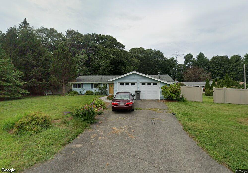
36 Swanson Rd Framingham, MA 01701
Nobscot NeighborhoodEstimated Value: $606,000 - $652,000
3
Beds
2
Baths
1,534
Sq Ft
$407/Sq Ft
Est. Value
About This Home
This home is located at 36 Swanson Rd, Framingham, MA 01701 and is currently estimated at $624,737, approximately $407 per square foot. 36 Swanson Rd is a home located in Middlesex County with nearby schools including Framingham High School and MetroWest Jewish Day School.
Ownership History
Date
Name
Owned For
Owner Type
Purchase Details
Closed on
Oct 31, 2002
Sold by
Wu Hsing-Wei and Li Chien-Ping
Bought by
Kreh Bret B
Current Estimated Value
Home Financials for this Owner
Home Financials are based on the most recent Mortgage that was taken out on this home.
Original Mortgage
$274,900
Interest Rate
6.09%
Mortgage Type
Purchase Money Mortgage
Purchase Details
Closed on
Sep 29, 1995
Sold by
Daisley-Harrison Aaron and Daisley-Harrison D
Bought by
Wu Hsing-Wei and Li Chien-Ping
Home Financials for this Owner
Home Financials are based on the most recent Mortgage that was taken out on this home.
Original Mortgage
$123,040
Interest Rate
7.89%
Mortgage Type
Purchase Money Mortgage
Purchase Details
Closed on
Apr 30, 1990
Sold by
Kulp Barry D
Bought by
Daisley-Harrison Aaron
Create a Home Valuation Report for This Property
The Home Valuation Report is an in-depth analysis detailing your home's value as well as a comparison with similar homes in the area
Home Values in the Area
Average Home Value in this Area
Purchase History
| Date | Buyer | Sale Price | Title Company |
|---|---|---|---|
| Kreh Bret B | $299,900 | -- | |
| Wu Hsing-Wei | $153,800 | -- | |
| Wu Hsing-Wei | $153,800 | -- | |
| Daisley-Harrison Aaron | $164,000 | -- | |
| Daisley-Harrison Aaron | $164,000 | -- |
Source: Public Records
Mortgage History
| Date | Status | Borrower | Loan Amount |
|---|---|---|---|
| Open | Daisley-Harrison Aaron | $210,720 | |
| Closed | Daisley-Harrison Aaron | $274,900 | |
| Previous Owner | Daisley-Harrison Aaron | $123,040 |
Source: Public Records
Tax History Compared to Growth
Tax History
| Year | Tax Paid | Tax Assessment Tax Assessment Total Assessment is a certain percentage of the fair market value that is determined by local assessors to be the total taxable value of land and additions on the property. | Land | Improvement |
|---|---|---|---|---|
| 2025 | $6,277 | $525,700 | $271,500 | $254,200 |
| 2024 | $6,027 | $483,700 | $242,500 | $241,200 |
| 2023 | $5,710 | $436,200 | $216,400 | $219,800 |
| 2022 | $5,407 | $393,500 | $196,400 | $197,100 |
| 2021 | $5,266 | $374,800 | $188,800 | $186,000 |
| 2020 | $5,274 | $352,100 | $171,500 | $180,600 |
| 2019 | $5,195 | $337,800 | $171,500 | $166,300 |
| 2018 | $5,092 | $312,000 | $165,100 | $146,900 |
| 2017 | $5,076 | $303,800 | $160,300 | $143,500 |
| 2016 | $4,924 | $283,300 | $160,300 | $123,000 |
| 2015 | $4,762 | $267,200 | $160,800 | $106,400 |
Source: Public Records
Map
Nearby Homes
- 14 Francine Rd
- 30 Edith Rd
- 82 Joseph Rd
- 8 Clara Rd
- 19 Park Ave
- 24 Pinewood Dr
- 163 Water St
- 81 Nicholas Rd Unit B
- 71 Nicholas Rd Unit H
- 53 Davidson Rd
- 27 Sloane Dr
- 217 Central St
- 1 Brookvale Rd
- 40 Gregory Rd
- 8 Elm St Unit 8A
- 14 Eisenhower Rd
- 15 Fairbrook Rd
- 78 Apple d or Rd
- 10 Victoria Garden Unit A
- 41 James St