36 Tate Rd Otis, ME 04605
Estimated Value: $196,335 - $364,000
Studio
--
Bath
--
Sq Ft
117,612
Sq Ft Lot
About This Home
This home is located at 36 Tate Rd, Otis, ME 04605 and is currently estimated at $280,445. 36 Tate Rd is a home with nearby schools including Beech Hill School and Sumner Memorial High School.
Ownership History
Date
Name
Owned For
Owner Type
Purchase Details
Closed on
Mar 30, 2023
Sold by
D A & Joan E Tate Irt and Tate
Bought by
Ross Lorilee N
Current Estimated Value
Purchase Details
Closed on
May 13, 2005
Sold by
Stormann Lawrence W
Bought by
Tate Dwight A and Tate Joan E
Home Financials for this Owner
Home Financials are based on the most recent Mortgage that was taken out on this home.
Original Mortgage
$75,000
Interest Rate
6.05%
Mortgage Type
Purchase Money Mortgage
Create a Home Valuation Report for This Property
The Home Valuation Report is an in-depth analysis detailing your home's value as well as a comparison with similar homes in the area
Purchase History
| Date | Buyer | Sale Price | Title Company |
|---|---|---|---|
| Ross Lorilee N | $120,000 | None Available | |
| Ross Lorilee N | $120,000 | None Available | |
| Ross Lorilee N | $120,000 | None Available | |
| Tate Dwight A | -- | -- | |
| Tate Dwight A | -- | -- | |
| Tate Dwight A | -- | -- |
Source: Public Records
Mortgage History
| Date | Status | Borrower | Loan Amount |
|---|---|---|---|
| Previous Owner | Tate Dwight A | $75,000 |
Source: Public Records
Tax History
| Year | Tax Paid | Tax Assessment Tax Assessment Total Assessment is a certain percentage of the fair market value that is determined by local assessors to be the total taxable value of land and additions on the property. | Land | Improvement |
|---|---|---|---|---|
| 2024 | $1,716 | $187,500 | $45,600 | $141,900 |
| 2023 | $1,839 | $140,400 | $29,600 | $110,800 |
| 2022 | $1,660 | $140,700 | $29,900 | $110,800 |
| 2021 | $1,524 | $140,700 | $29,900 | $110,800 |
| 2020 | $1,477 | $140,700 | $29,900 | $110,800 |
| 2019 | $1,477 | $140,700 | $29,900 | $110,800 |
| 2018 | $1,421 | $140,700 | $29,900 | $110,800 |
| 2017 | $1,400 | $140,700 | $29,900 | $110,800 |
| 2016 | $1,351 | $140,700 | $29,900 | $110,800 |
| 2015 | $1,323 | $140,700 | $29,900 | $110,800 |
Source: Public Records
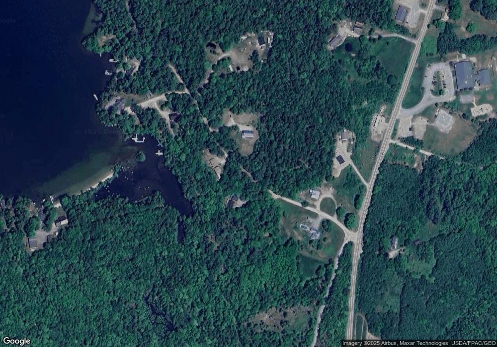
Map
Nearby Homes
- 1244 Moore Rd
- 282 Gary Moore Rd
- 459 W West Shore Rd
- 40 Jesses Beach Way
- Lot #1 Garland Rd
- 137 Gary Moore Rd
- 200 Tannery Brook Rd
- 116 Sandy Beach Ln
- 30 Moose Trail
- 15 Moose Trail
- MAPR5LOT6 Point Rd
- 90 Blue Jay Ln
- 45 Bass Overlook
- Lot 116 Bass Overlook
- 15 Coyote Ln
- 5 Taylor Woods Rd
- 40 Benjamin Way
- 80 Bufford Dr
- 10 Bufford Dr
- 547 Mariaville Rd
- 1 Ashmore Rd
- 51 Tate Rd
- 0 Tate Rd
- 60 Tate Rd
- 6 Tate Rd
- 64 Tate Rd
- 82 Otis Rd
- 73 Otis Rd
- 20 Channel Rock Rd
- U4-4 Morrison Farm Rd
- 14 Black Bear Dr
- M118-l11 Happytown Rd
- M118-l9 Happytown Rd
- 6 Black Bear Way
- 5 Peaked Mountain Dr
- 72 Benoit's Way
- 2-15 Patten Way
- 23-4 Moose Run
- 122-1-5 Keefe Way
- 23-5 Moose Run
Your Personal Tour Guide
Ask me questions while you tour the home.