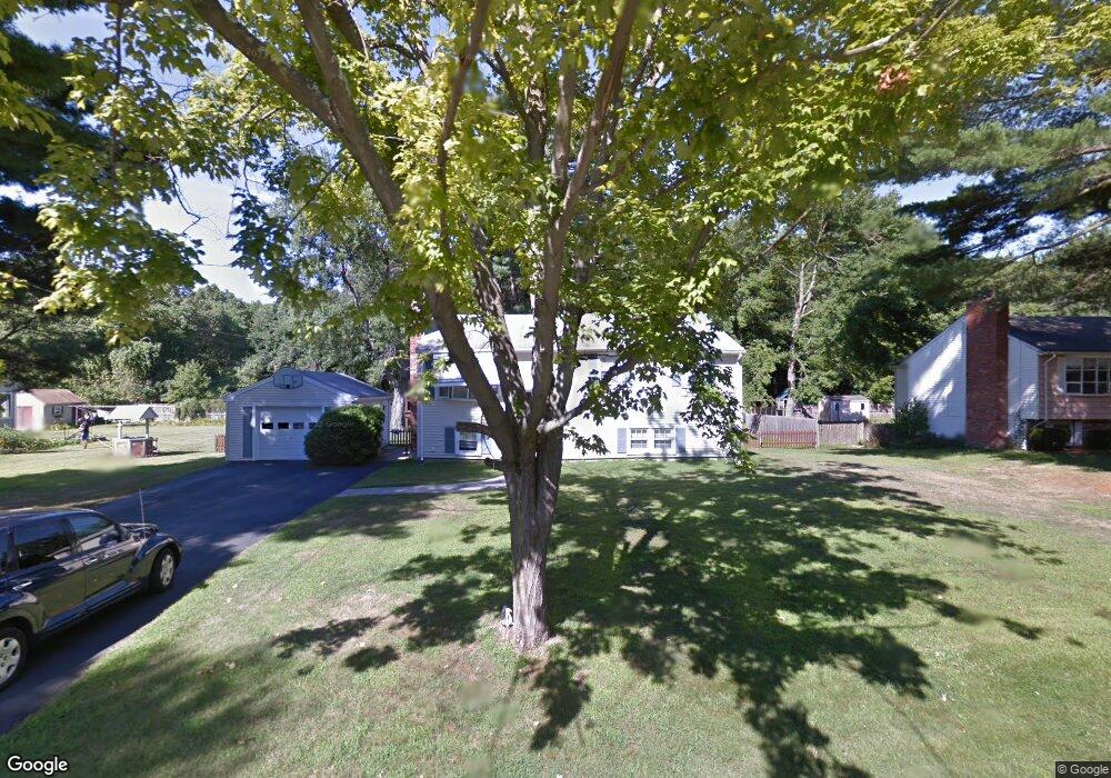
36 Tomlinson Rd Attleboro, MA 02703
Estimated Value: $469,001 - $558,000
3
Beds
2
Baths
1,040
Sq Ft
$483/Sq Ft
Est. Value
About This Home
This home is located at 36 Tomlinson Rd, Attleboro, MA 02703 and is currently estimated at $502,000, approximately $482 per square foot. 36 Tomlinson Rd is a home located in Bristol County with nearby schools including Hill-Roberts Elementary School, Robert J. Coelho Middle School, and Attleboro High School.
Ownership History
Date
Name
Owned For
Owner Type
Purchase Details
Closed on
Jul 20, 1992
Sold by
Newman Philip S and Newman Constance
Bought by
Long Michael W and Long Donna L
Current Estimated Value
Home Financials for this Owner
Home Financials are based on the most recent Mortgage that was taken out on this home.
Original Mortgage
$100,000
Interest Rate
8.54%
Mortgage Type
Purchase Money Mortgage
Create a Home Valuation Report for This Property
The Home Valuation Report is an in-depth analysis detailing your home's value as well as a comparison with similar homes in the area
Home Values in the Area
Average Home Value in this Area
Purchase History
| Date | Buyer | Sale Price | Title Company |
|---|---|---|---|
| Long Michael W | $125,000 | -- |
Source: Public Records
Mortgage History
| Date | Status | Borrower | Loan Amount |
|---|---|---|---|
| Open | Long Michael W | $149,000 | |
| Closed | Long Michael W | $162,000 | |
| Closed | Long Michael W | $100,000 | |
| Previous Owner | Long Michael W | $31,000 |
Source: Public Records
Tax History Compared to Growth
Tax History
| Year | Tax Paid | Tax Assessment Tax Assessment Total Assessment is a certain percentage of the fair market value that is determined by local assessors to be the total taxable value of land and additions on the property. | Land | Improvement |
|---|---|---|---|---|
| 2025 | $5,300 | $422,300 | $167,400 | $254,900 |
| 2024 | $5,087 | $399,600 | $150,700 | $248,900 |
| 2023 | $5,028 | $367,300 | $152,300 | $215,000 |
| 2022 | $4,810 | $332,900 | $145,000 | $187,900 |
| 2021 | $4,517 | $305,200 | $139,500 | $165,700 |
| 2020 | $4,249 | $291,800 | $133,300 | $158,500 |
| 2019 | $4,027 | $284,400 | $130,900 | $153,500 |
| 2018 | $3,896 | $262,900 | $127,000 | $135,900 |
| 2017 | $3,787 | $260,300 | $123,800 | $136,500 |
| 2016 | $3,536 | $238,600 | $115,500 | $123,100 |
| 2015 | $3,497 | $237,700 | $115,500 | $122,200 |
| 2014 | $3,364 | $226,500 | $110,600 | $115,900 |
Source: Public Records
Map
Nearby Homes
- 23 Magnolia St Unit 2
- 12 Tyson Place
- 2 Gardner Ave
- 44 Buffington St
- 103 Hall Ave
- 1 Jessicas Way
- 330 Brown St
- 52 Curtis Ave
- 39 Slade Ave
- 500 Mendon Rd Unit 257
- 6 Castle Rd
- 64 Highland Ave Unit A
- 64 Highland Ave Unit B
- 18 Cumberland St
- 511 Mendon Rd Unit 511
- 509 Mendon Rd Unit 509
- 980 Newport Ave
- 3 Robin Hood Ln Unit 179
- 55 Leedham St Unit 2-6
- 513 Mendon Rd Unit 513
- 40 Tomlinson Rd
- 0 Tomlinson Rd
- 28 Tomlinson Rd
- 37 Tomlinson Rd
- 44 Tomlinson Rd
- 41 Tomlinson Rd
- 33 Tomlinson Rd
- 45 Tomlinson Rd
- 29 Tomlinson Rd
- 24 Tomlinson Rd
- 48 Tomlinson Rd
- 90 Magnolia St
- 96 Magnolia St
- 25 Tomlinson Rd
- 49 Tomlinson Rd
- 88 Magnolia St
- 84 Magnolia St
- 102 Magnolia St
- 20 Tomlinson Rd
- 50 Cynthia Ln