36 Vicksburg Cir Holden, MA 01520
Estimated Value: $582,795 - $679,000
3
Beds
2
Baths
2,067
Sq Ft
$310/Sq Ft
Est. Value
About This Home
This home is located at 36 Vicksburg Cir, Holden, MA 01520 and is currently estimated at $641,699, approximately $310 per square foot. 36 Vicksburg Cir is a home located in Worcester County with nearby schools including Wachusett Regional High School and Holden Christian Academy.
Ownership History
Date
Name
Owned For
Owner Type
Purchase Details
Closed on
Aug 27, 2003
Sold by
Stone Cynthia E and Stone Ronald A
Bought by
Stone Cynthia E
Current Estimated Value
Purchase Details
Closed on
Aug 30, 1999
Sold by
Brown James L and Brown Shirley M
Bought by
Stone Richard A and Stone Cynthia E
Home Financials for this Owner
Home Financials are based on the most recent Mortgage that was taken out on this home.
Original Mortgage
$180,000
Interest Rate
7.53%
Mortgage Type
Purchase Money Mortgage
Create a Home Valuation Report for This Property
The Home Valuation Report is an in-depth analysis detailing your home's value as well as a comparison with similar homes in the area
Home Values in the Area
Average Home Value in this Area
Purchase History
| Date | Buyer | Sale Price | Title Company |
|---|---|---|---|
| Stone Cynthia E | -- | -- | |
| Stone Richard A | $225,000 | -- |
Source: Public Records
Mortgage History
| Date | Status | Borrower | Loan Amount |
|---|---|---|---|
| Previous Owner | Stone Richard A | $180,000 |
Source: Public Records
Tax History Compared to Growth
Tax History
| Year | Tax Paid | Tax Assessment Tax Assessment Total Assessment is a certain percentage of the fair market value that is determined by local assessors to be the total taxable value of land and additions on the property. | Land | Improvement |
|---|---|---|---|---|
| 2025 | $6,710 | $484,100 | $169,400 | $314,700 |
| 2024 | $6,469 | $457,200 | $164,500 | $292,700 |
| 2023 | $6,101 | $407,000 | $143,000 | $264,000 |
| 2022 | $5,859 | $353,800 | $111,600 | $242,200 |
| 2021 | $3,965 | $326,700 | $106,300 | $220,400 |
| 2020 | $5,438 | $319,900 | $101,300 | $218,600 |
| 2019 | $5,209 | $298,500 | $101,300 | $197,200 |
| 2018 | $5,096 | $289,400 | $96,400 | $193,000 |
| 2017 | $4,735 | $269,200 | $96,400 | $172,800 |
| 2016 | $4,840 | $280,600 | $91,700 | $188,900 |
| 2015 | $4,932 | $272,200 | $91,700 | $180,500 |
| 2014 | $4,832 | $272,200 | $91,700 | $180,500 |
Source: Public Records
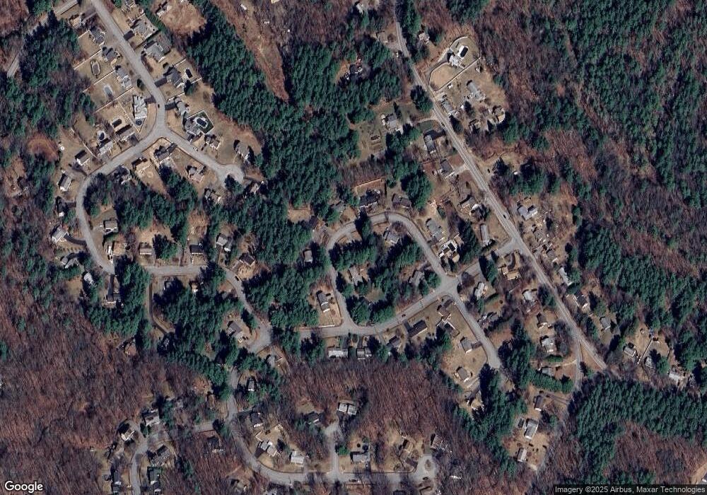
Map
Nearby Homes
- 60 Duxbury Dr
- 35 Laurel Hill Ln
- 9 Short St
- 16 Highland Ave
- 3 Oakridge Rd
- 56 Highland Ave
- 141 Lovell Rd
- Lot 1 Manning St
- 300 Malden St
- 33 Meadow Wood Dr
- 40 Princeton St
- 40 Jackson St
- 100 Avery Heights Dr
- 26 Avery Heights Dr
- 206 Wachusett St
- 124 Bailey Rd
- 8 (Lot 1) Holmes Dr
- 33 Thorny Lea Rd
- 216 Reservoir St Unit 103
- 216 Reservoir St Unit 309
- 52 Vicksburg Cir
- 16 Vicksburg Cir
- 37 Vicksburg Cir
- 51 Vicksburg Cir
- 43 Vicksburg Cir
- 19 Fort Sumter Dr
- 59 Vicksburg Cir
- 15 Fort Sumter Dr
- 21 Vicksburg Cir
- 17 Vicksburg Cir
- 13 Bull Run
- 55 Fort Sumter Dr
- 7 Fort Sumter Dr
- 34 Fort Sumter Dr
- 38 Fort Sumter Dr
- 9 Bull Run
- 19 Bull Run
- 30 Fort Sumter Dr
- 26 Fort Sumter Dr
- 10 Fort Sumter Dr