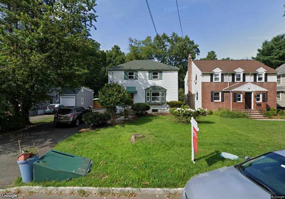
36 W Cedar St Livingston, NJ 07039
Estimated Value: $778,000 - $956,000
3
Beds
2
Baths
1,545
Sq Ft
$575/Sq Ft
Est. Value
About This Home
This home is located at 36 W Cedar St, Livingston, NJ 07039 and is currently estimated at $888,295, approximately $574 per square foot. 36 W Cedar St is a home located in Essex County with nearby schools including Livingston Sr High School and Aquinas Academy.
Ownership History
Date
Name
Owned For
Owner Type
Purchase Details
Closed on
Jul 20, 2023
Sold by
Lee James J and Lee Vivian X
Bought by
Zhou Xiaolu and Zhu Jieyu
Current Estimated Value
Home Financials for this Owner
Home Financials are based on the most recent Mortgage that was taken out on this home.
Original Mortgage
$483,000
Outstanding Balance
$470,241
Interest Rate
6.67%
Mortgage Type
New Conventional
Estimated Equity
$418,054
Purchase Details
Closed on
Jul 19, 2002
Sold by
Mantzouranis Anastasios
Bought by
Lee James
Home Financials for this Owner
Home Financials are based on the most recent Mortgage that was taken out on this home.
Original Mortgage
$247,500
Interest Rate
6.24%
Purchase Details
Closed on
Aug 24, 1999
Sold by
Antoniello Gerard
Bought by
Mantzouranis Asastasios and Mantzouranis Kare
Home Financials for this Owner
Home Financials are based on the most recent Mortgage that was taken out on this home.
Original Mortgage
$215,000
Interest Rate
7.83%
Create a Home Valuation Report for This Property
The Home Valuation Report is an in-depth analysis detailing your home's value as well as a comparison with similar homes in the area
Home Values in the Area
Average Home Value in this Area
Purchase History
| Date | Buyer | Sale Price | Title Company |
|---|---|---|---|
| Zhou Xiaolu | $690,000 | Clear Skies Title | |
| Lee James | $330,000 | -- | |
| Mantzouranis Asastasios | $239,000 | -- |
Source: Public Records
Mortgage History
| Date | Status | Borrower | Loan Amount |
|---|---|---|---|
| Open | Zhou Xiaolu | $483,000 | |
| Previous Owner | Lee James | $247,500 | |
| Previous Owner | Mantzouranis Asastasios | $215,000 |
Source: Public Records
Tax History Compared to Growth
Tax History
| Year | Tax Paid | Tax Assessment Tax Assessment Total Assessment is a certain percentage of the fair market value that is determined by local assessors to be the total taxable value of land and additions on the property. | Land | Improvement |
|---|---|---|---|---|
| 2025 | $11,068 | $466,600 | $268,500 | $198,100 |
| 2024 | $11,068 | $466,600 | $268,500 | $198,100 |
| 2022 | $10,886 | $466,600 | $268,500 | $198,100 |
| 2021 | $10,797 | $466,600 | $268,500 | $198,100 |
| 2020 | $10,596 | $466,600 | $268,500 | $198,100 |
| 2019 | $10,009 | $382,600 | $234,500 | $148,100 |
| 2018 | $9,875 | $382,600 | $234,500 | $148,100 |
| 2017 | $9,745 | $382,600 | $234,500 | $148,100 |
| 2016 | $9,565 | $382,600 | $234,500 | $148,100 |
| 2015 | $9,423 | $382,600 | $234,500 | $148,100 |
| 2014 | $9,117 | $382,600 | $234,500 | $148,100 |
Source: Public Records
Map
Nearby Homes
- 35 Amelia Ave
- 94 W Cedar St
- 35 Grand Terrace
- 22 Brookside Place
- 74 Hillside Terrace
- 94 E Cedar St
- 9 Spalding Dr
- 63 N Livingston Ave
- 82 W Oakwood Ave
- 61 Hazel Ave
- 106 Falcon Rd
- 15 Highland Dr
- 21 Highland Dr
- 7 Rosedale Terrace
- 76 Springbrook Rd
- 21 Maplewood Dr
- 44 Lincoln Ave
- 11 Shadowlawn Dr
- 36 Crestview Hill Rd
- 26 Bennington Rd