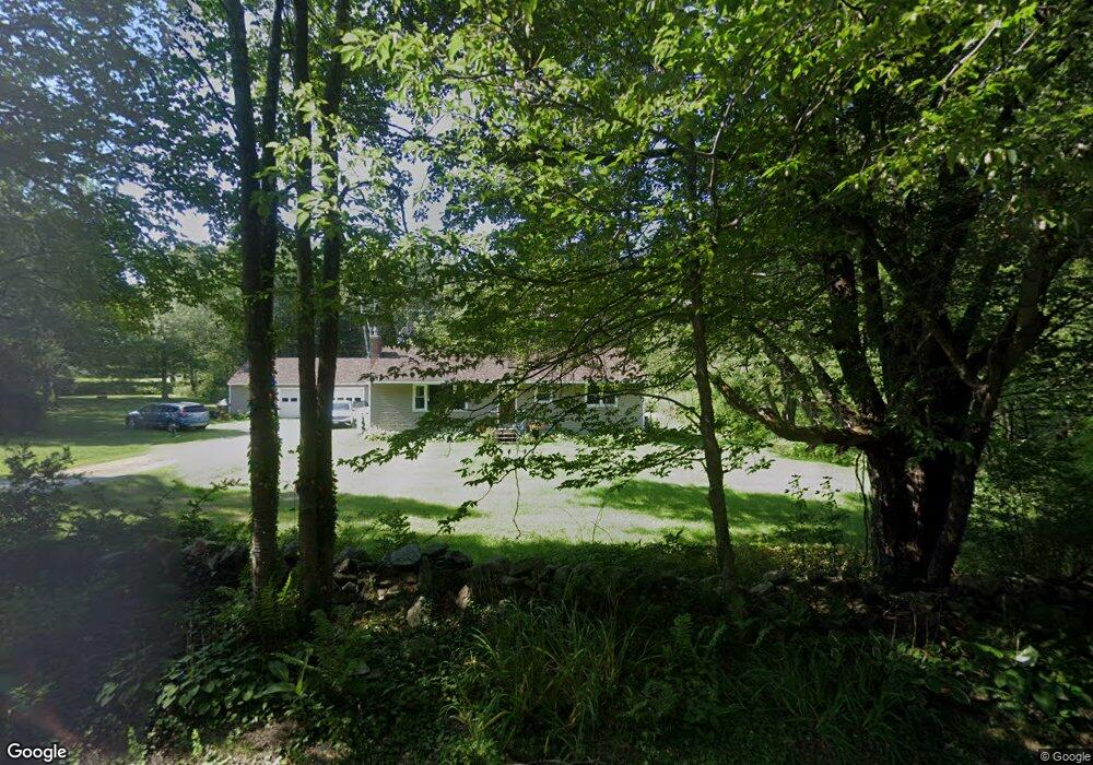
36 W Hubbard Rd Sandisfield, MA 01255
Estimated Value: $317,000 - $428,000
3
Beds
1
Bath
1,344
Sq Ft
$267/Sq Ft
Est. Value
About This Home
This home is located at 36 W Hubbard Rd, Sandisfield, MA 01255 and is currently estimated at $358,680, approximately $266 per square foot. 36 W Hubbard Rd is a home located in Berkshire County with nearby schools including Farmington River Elementary School.
Ownership History
Date
Name
Owned For
Owner Type
Purchase Details
Closed on
Jun 23, 2009
Sold by
Bragdon Christine M and Pachulski Harold O
Bought by
Bragdon Christine M and Pachulski Harold O
Current Estimated Value
Purchase Details
Closed on
Mar 7, 2003
Sold by
Bragdon Charles J and Bragdon Charles
Bought by
Bragdon Charles J and Bragdon Christine
Create a Home Valuation Report for This Property
The Home Valuation Report is an in-depth analysis detailing your home's value as well as a comparison with similar homes in the area
Home Values in the Area
Average Home Value in this Area
Purchase History
| Date | Buyer | Sale Price | Title Company |
|---|---|---|---|
| Bragdon Christine M | -- | -- | |
| Bragdon Christine M | -- | -- | |
| Bragdon Charles J | $8,553 | -- | |
| Bragdon Charles J | $8,553 | -- |
Source: Public Records
Mortgage History
| Date | Status | Borrower | Loan Amount |
|---|---|---|---|
| Previous Owner | Bragdon Charles J | $18,000 | |
| Previous Owner | Bragdon Charles J | $18,000 |
Source: Public Records
Tax History Compared to Growth
Tax History
| Year | Tax Paid | Tax Assessment Tax Assessment Total Assessment is a certain percentage of the fair market value that is determined by local assessors to be the total taxable value of land and additions on the property. | Land | Improvement |
|---|---|---|---|---|
| 2025 | $2,641 | $292,800 | $46,200 | $246,600 |
| 2024 | $2,770 | $277,300 | $43,700 | $233,600 |
| 2023 | $2,715 | $256,400 | $43,700 | $212,700 |
| 2022 | $2,789 | $216,200 | $43,700 | $172,500 |
| 2021 | $2,742 | $205,400 | $41,100 | $164,300 |
| 2020 | $2,732 | $205,400 | $41,100 | $164,300 |
| 2019 | $2,540 | $211,100 | $46,800 | $164,300 |
| 2018 | $2,625 | $197,500 | $42,100 | $155,400 |
| 2017 | $2,625 | $197,500 | $42,100 | $155,400 |
| 2016 | $2,564 | $197,500 | $42,100 | $155,400 |
| 2015 | $2,525 | $194,200 | $42,600 | $151,600 |
| 2014 | $2,466 | $194,200 | $42,600 | $151,600 |
Source: Public Records
Map
Nearby Homes
- 0 Sandisfield Rd
- 1 Main Rd
- 535 Main Rd
- 2017 Monterey Rd
- 0 Jamie Ln
- 0 Norwalk Acres Rd Unit 242782
- 0 West St
- 194 Sandisfield Rd
- 14 Norwalk Acres Rd
- 165 Sandisfield Rd
- 104 Hupi Rd
- 0 Tyringham Rd
- 293 Sandisfield Rd
- 122 Sandisfield Rd
- 0 Hartsville-New Marlborough Rd
- 0 Gould Rd
- 0 Massachusetts 57
- 139 Tyringham Rd
- 0 N Beech Plain Rd Unit 247823
- 8 Hemlock Rd