36 Walden Dr Unit 12 Natick, MA 01760
Estimated Value: $329,000 - $425,000
1
Bed
1
Bath
600
Sq Ft
$590/Sq Ft
Est. Value
About This Home
600 sq ft 1 BR/ 1 Bath located in the Deerfield Forest Condominium Complex off of Route 135 in West Natick. Convenient location to commuter rail, Route 9, Mass Pike & shopping areas. Unit in building at the end of Walden Drive & is located on second floor walking out into wooded area. Also includes Washer/Dryer in unit.
First & Last month deposit required.
Unit available April 1
Ownership History
Date
Name
Owned For
Owner Type
Purchase Details
Closed on
May 26, 2004
Sold by
Foster Brian G
Bought by
Maziarz John L
Current Estimated Value
Purchase Details
Closed on
Jan 30, 1998
Sold by
Deerfield Assocs Lp
Bought by
Foster Brian G
Home Financials for this Owner
Home Financials are based on the most recent Mortgage that was taken out on this home.
Original Mortgage
$70,359
Interest Rate
7.02%
Mortgage Type
Purchase Money Mortgage
Create a Home Valuation Report for This Property
The Home Valuation Report is an in-depth analysis detailing your home's value as well as a comparison with similar homes in the area
Home Values in the Area
Average Home Value in this Area
Purchase History
| Date | Buyer | Sale Price | Title Company |
|---|---|---|---|
| Maziarz John L | $184,900 | -- | |
| Foster Brian G | $73,000 | -- |
Source: Public Records
Mortgage History
| Date | Status | Borrower | Loan Amount |
|---|---|---|---|
| Previous Owner | Foster Brian G | $17,300 | |
| Previous Owner | Foster Brian G | $70,359 |
Source: Public Records
Property History
| Date | Event | Price | List to Sale | Price per Sq Ft |
|---|---|---|---|---|
| 03/06/2025 03/06/25 | Off Market | $1,700 | -- | -- |
| 02/23/2025 02/23/25 | For Rent | $1,700 | -- | -- |
Tax History Compared to Growth
Tax History
| Year | Tax Paid | Tax Assessment Tax Assessment Total Assessment is a certain percentage of the fair market value that is determined by local assessors to be the total taxable value of land and additions on the property. | Land | Improvement |
|---|---|---|---|---|
| 2025 | $3,483 | $291,200 | $0 | $291,200 |
| 2024 | $3,101 | $252,900 | $0 | $252,900 |
| 2023 | $3,046 | $241,000 | $0 | $241,000 |
| 2022 | $3,062 | $229,500 | $0 | $229,500 |
| 2021 | $2,998 | $220,300 | $0 | $220,300 |
| 2020 | $2,930 | $215,300 | $0 | $215,300 |
| 2019 | $2,608 | $205,200 | $0 | $205,200 |
| 2018 | $2,341 | $179,400 | $0 | $179,400 |
| 2017 | $2,176 | $161,300 | $0 | $161,300 |
| 2016 | $2,137 | $157,500 | $0 | $157,500 |
| 2015 | $1,831 | $132,500 | $0 | $132,500 |
Source: Public Records
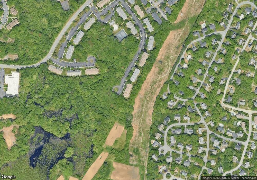
Map
Nearby Homes
- 26 Walden Dr Unit 4
- 12 Walden Dr Unit 19
- 9 Silver Hill Ln Unit 19
- 46 Silver Hill Ln Unit 1
- 51 Village Brook Ln Unit 16
- 32 Silver Hill Ln Unit 1
- 57 Village Brook Ln Unit 5
- 50 Village Brook Ln Unit 4
- 4 Sylvia Ave
- 40 Silver Hill Ln Unit 4
- 4 Village Rock Ln Unit 9
- 6 Village Rock Ln Unit 17
- 5 Village Rock Ln Unit 24
- 1 Glen St Unit B
- 91 Speen St
- 150 2nd St Unit 310
- 38 Ranger Rd
- 7 Weld St Unit 50
- 7 Weld St Unit 35
- 2 Universal St Unit A
- 36 Walden Dr Unit 20
- 36 Walden Dr Unit 19
- 36 Walden Dr Unit 18
- 36 Walden Dr Unit 17
- 36 Walden Dr Unit 16
- 36 Walden Dr Unit 15
- 36 Walden Dr Unit 14
- 36 Walden Dr Unit 13
- 36 Walden Dr Unit 11
- 36 Walden Dr Unit 26
- 36 Walden Dr Unit 15 36
- 36 Walden Dr Unit 19,36
- 36 Walden Dr Unit 3-6
- 32 Walden Dr Unit 20
- 32 Walden Dr Unit 19
- 32 Walden Dr Unit 18
- 32 Walden Dr Unit 17
- 32 Walden Dr Unit 16
- 32 Walden Dr Unit 15
- 32 Walden Dr Unit 14