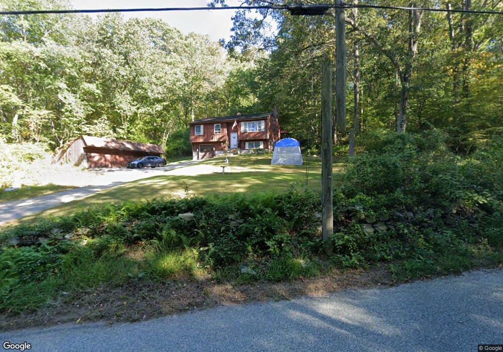
36 Watson Rd Preston, CT 06365
Estimated Value: $358,000 - $431,000
3
Beds
1
Bath
900
Sq Ft
$424/Sq Ft
Est. Value
About This Home
This home is located at 36 Watson Rd, Preston, CT 06365 and is currently estimated at $381,592, approximately $423 per square foot. 36 Watson Rd is a home with nearby schools including Stonington Institute School.
Ownership History
Date
Name
Owned For
Owner Type
Purchase Details
Closed on
Jul 1, 2019
Sold by
Mashantucket Pequot Tribe
Bought by
Foster Donna
Current Estimated Value
Home Financials for this Owner
Home Financials are based on the most recent Mortgage that was taken out on this home.
Original Mortgage
$31,117
Outstanding Balance
$27,191
Interest Rate
3.8%
Mortgage Type
Purchase Money Mortgage
Estimated Equity
$354,401
Purchase Details
Closed on
Feb 28, 1995
Sold by
Koniecko Louis and Koniecko Rose
Bought by
Mashantucket Pequot Tr
Create a Home Valuation Report for This Property
The Home Valuation Report is an in-depth analysis detailing your home's value as well as a comparison with similar homes in the area
Home Values in the Area
Average Home Value in this Area
Purchase History
| Date | Buyer | Sale Price | Title Company |
|---|---|---|---|
| Foster Donna | $31,117 | -- | |
| Mashantucket Pequot Tr | $300,000 | -- |
Source: Public Records
Mortgage History
| Date | Status | Borrower | Loan Amount |
|---|---|---|---|
| Open | Foster Donna | $31,117 | |
| Previous Owner | Mashantucket Pequot Tr | $85,000 |
Source: Public Records
Tax History
| Year | Tax Paid | Tax Assessment Tax Assessment Total Assessment is a certain percentage of the fair market value that is determined by local assessors to be the total taxable value of land and additions on the property. | Land | Improvement |
|---|---|---|---|---|
| 2025 | $4,371 | $174,090 | $55,440 | $118,650 |
| 2024 | $4,068 | $174,090 | $55,440 | $118,650 |
| 2023 | $3,995 | $174,090 | $55,440 | $118,650 |
| 2022 | $3,321 | $119,100 | $48,700 | $70,400 |
| 2021 | $3,209 | $119,100 | $48,700 | $70,400 |
| 2020 | $3,204 | $119,100 | $48,700 | $70,400 |
| 2019 | $3,148 | $119,100 | $48,700 | $70,400 |
| 2018 | $3,100 | $119,100 | $48,700 | $70,400 |
| 2017 | $2,693 | $112,200 | $48,700 | $63,500 |
| 2016 | $2,665 | $112,200 | $48,700 | $63,500 |
| 2015 | $2,581 | $112,200 | $48,700 | $63,500 |
| 2014 | $2,596 | $112,200 | $48,700 | $63,500 |
Source: Public Records
Map
Nearby Homes
- 6 Lake of Isles Rd
- 4 Lake of Isles Rd
- 121 Watson Rd
- 0 Lake of Isles Rd Unit 170371521
- 381 Route 2
- 991 Shewville Rd
- 31 Branch Hill Rd
- 16 Abbey Rd
- 36 NW Corner Rd
- 14 Abbey Rd
- 57 NW Corner Rd
- 717 Norwich Westerly Rd
- 55A Anna Farm Rd W
- 25 Coachman Pike
- 15 Paster Rd
- 381 Route 164
- 32 Krug Rd
- 179 Cossaduck Hill Rd
- 36 Route 2a
- 20 Lakeside Dr Unit K
- 35 Watson Rd
- 41 Watson Rd
- 33 Watson Rd
- 19 Watson Rd
- 53 Watson Rd
- 57 Watson Rd
- 17 Watson Rd
- 110 Cooktown Rd
- 49 Watson Rd
- 18 Watson Rd
- 16 Watson Rd
- 60 Watson Rd
- 62 Watson Rd
- 108 Cooktown Rd
- 23 Lake of Isles Rd
- 3 Lake of Isles Rd
- 5 Lake of Isles Rd
- 102 Cooktown Rd
- 15 Lake of Isles Rd
- 25 Lake of Isles Rd
Your Personal Tour Guide
Ask me questions while you tour the home.