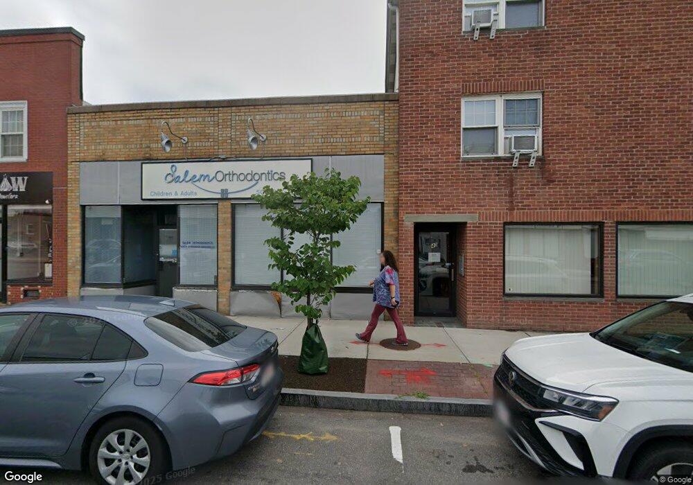
36 Weir St Unit 1 Taunton, MA 02780
City Center NeighborhoodEstimated Value: $291,708
--
Bed
1
Bath
1,782
Sq Ft
$164/Sq Ft
Est. Value
About This Home
This home is located at 36 Weir St Unit 1, Taunton, MA 02780 and is currently estimated at $291,708, approximately $163 per square foot. 36 Weir St Unit 1 is a home located in Bristol County with nearby schools including Elizabeth Pole School, Taunton High School, and John F. Parker Middle School.
Ownership History
Date
Name
Owned For
Owner Type
Purchase Details
Closed on
Oct 25, 2021
Sold by
Kilmer Ave Nt
Bought by
Great Hl Medical Rlty Llc
Current Estimated Value
Purchase Details
Closed on
Jan 17, 2018
Sold by
Salem Omar
Bought by
Great Hill Medical Rea
Purchase Details
Closed on
Jul 19, 2017
Sold by
Kilmer Avenue Nt
Bought by
Salem Omar
Create a Home Valuation Report for This Property
The Home Valuation Report is an in-depth analysis detailing your home's value as well as a comparison with similar homes in the area
Home Values in the Area
Average Home Value in this Area
Purchase History
| Date | Buyer | Sale Price | Title Company |
|---|---|---|---|
| Great Hl Medical Rlty Llc | -- | None Available | |
| Kilmer Ave Nt | -- | None Available | |
| Great Hill Medical Rea | -- | -- | |
| Salem Omar | $160,000 | -- |
Source: Public Records
Tax History Compared to Growth
Tax History
| Year | Tax Paid | Tax Assessment Tax Assessment Total Assessment is a certain percentage of the fair market value that is determined by local assessors to be the total taxable value of land and additions on the property. | Land | Improvement |
|---|---|---|---|---|
| 2025 | $8,837 | $371,600 | $79,000 | $292,600 |
| 2024 | $8,760 | $357,100 | $79,000 | $278,100 |
| 2023 | $7,511 | $285,600 | $63,200 | $222,400 |
| 2022 | $7,474 | $258,900 | $57,800 | $201,100 |
| 2021 | $7,500 | $258,900 | $57,800 | $201,100 |
| 2020 | $6,543 | $212,300 | $51,400 | $160,900 |
| 2019 | $6,567 | $191,800 | $49,600 | $142,200 |
| 2018 | $4,882 | $141,800 | $48,000 | $93,800 |
| 2017 | $5,302 | $152,800 | $59,800 | $93,000 |
| 2016 | $5,186 | $152,800 | $59,800 | $93,000 |
| 2015 | $5,260 | $158,200 | $65,200 | $93,000 |
| 2014 | $4,934 | $158,200 | $65,200 | $93,000 |
Source: Public Records
Map
Nearby Homes
- 48 Taunton Green
- 0, M64 L51 Knapp St
- 0 M64 L39 Knapp St
- 0, M64 L49 Knapp St
- 0, M64 L50 Knapp St
- 31 Church Green Unit 303
- 12 Chestnut St Unit A
- 5 Dean Ave
- 46 Harrison St Unit 4
- 215 High St Unit 21
- 215 High St Unit 20
- 19 Mason St
- 6 W Summer St
- 16 Clinton St
- 54 Adams St
- 278 Cohannet St
- 30 Buffington St
- 98 Winthrop St
- 78 Arlington St Unit 2
- 78 Arlington St Unit 3