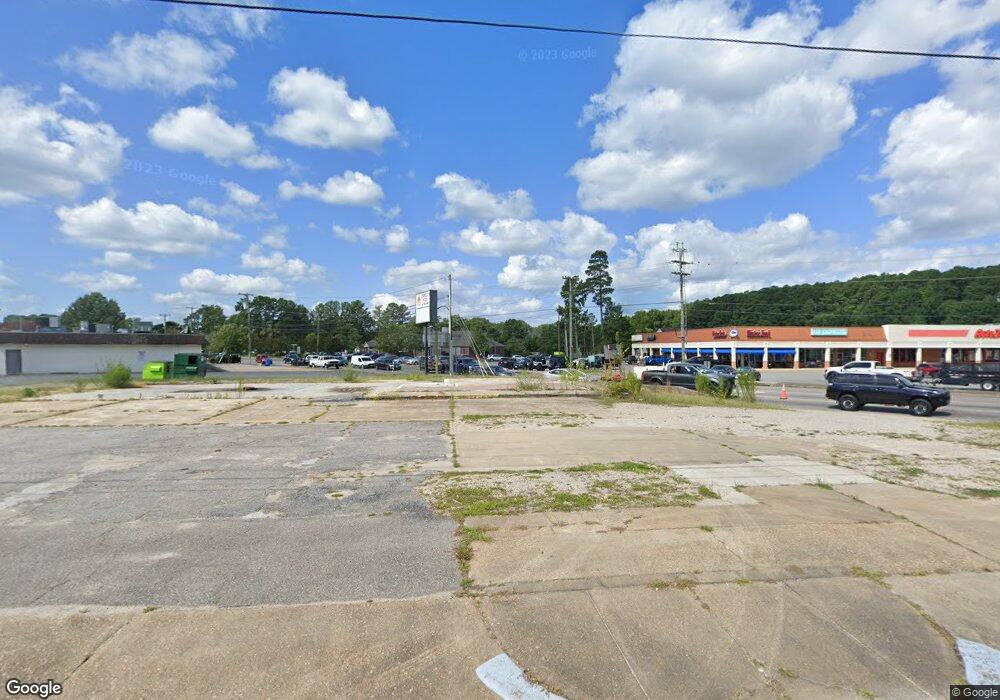
360 Battlefield Blvd S Chesapeake, VA 23322
Great Bridge NeighborhoodEstimated Value: $569,553
Studio
--
Bath
2,100
Sq Ft
$271/Sq Ft
Est. Value
About This Home
This home is located at 360 Battlefield Blvd S, Chesapeake, VA 23322 and is currently estimated at $569,553, approximately $271 per square foot. 360 Battlefield Blvd S is a home located in Chesapeake City with nearby schools including Great Bridge Primary School, Great Bridge Intermediate School, and Great Bridge Middle School.
Ownership History
Date
Name
Owned For
Owner Type
Purchase Details
Closed on
Aug 24, 2020
Sold by
Metropolitan Property Investments Llc
Bought by
City Of Chesapeake Virginia
Current Estimated Value
Purchase Details
Closed on
Jul 21, 2014
Sold by
Moc I Associates Llc
Bought by
Metropolitan Property Inv Llc
Home Financials for this Owner
Home Financials are based on the most recent Mortgage that was taken out on this home.
Original Mortgage
$300,000
Interest Rate
4.14%
Mortgage Type
Commercial
Create a Home Valuation Report for This Property
The Home Valuation Report is an in-depth analysis detailing your home's value as well as a comparison with similar homes in the area
Home Values in the Area
Average Home Value in this Area
Purchase History
| Date | Buyer | Sale Price | Title Company |
|---|---|---|---|
| City Of Chesapeake Virginia | $395,000 | Attorney | |
| Metropolitan Property Inv Llc | $270,261 | -- |
Source: Public Records
Mortgage History
| Date | Status | Borrower | Loan Amount |
|---|---|---|---|
| Previous Owner | Metropolitan Property Inv Llc | $300,000 |
Source: Public Records
Tax History
| Year | Tax Paid | Tax Assessment Tax Assessment Total Assessment is a certain percentage of the fair market value that is determined by local assessors to be the total taxable value of land and additions on the property. | Land | Improvement |
|---|---|---|---|---|
| 2025 | $1,252 | $349,100 | $327,400 | $21,700 |
| 2024 | $1,252 | $345,700 | $324,000 | $21,700 |
| 2023 | $1,252 | $345,700 | $324,000 | $21,700 |
| 2022 | $1,252 | $492,300 | $324,000 | $168,300 |
| 2020 | $5,006 | $476,800 | $324,000 | $152,800 |
| 2019 | $4,978 | $474,100 | $324,000 | $150,100 |
| 2018 | $4,815 | $458,600 | $306,900 | $151,700 |
| 2017 | $5,222 | $497,300 | $306,900 | $190,400 |
| 2016 | $5,657 | $538,800 | $306,900 | $231,900 |
| 2015 | $5,511 | $524,900 | $306,900 | $218,000 |
| 2014 | $5,464 | $520,400 | $306,900 | $213,500 |
Source: Public Records
Map
Nearby Homes
- 136 Old Dr
- 120 Cedar Rd
- 208 Old Dr
- 276 Bridgeview Cir
- 205 Fresno Dr
- 429 Briarfield Dr
- 533 Briarfield Dr
- 301 Woodbridge Dr
- 349 Briarfield Dr
- 313 Woodbridge Dr
- 509 Saber Dr
- 512 Woodglen Dr
- 533 Scarborough Dr
- 605 Resh Ct
- 624 Luray Terrace
- 433 Flintlock Rd
- 605 Hollygate Ln
- 627 Luray Terrace
- 528 Wickwood Dr
- 728 W Lake Cir
- 307 Johnstown Rd
- 309 Johnstown Rd
- 372 Battlefield Blvd S
- 388 Battlefield Blvd S
- 324 Battlefield Blvd S
- 327 Nottingham Dr
- 325 Nottingham Dr
- 392 Battlefield Blvd S
- 323 Nottingham Dr
- 321 Nottingham Dr
- 329 Nottingham Dr
- 319 Nottingham Dr
- 317 Nottingham Dr
- 333 Nottingham Dr
- 315 Nottingham Dr
- 359 Battlefield Blvd S
- 335 Nottingham Dr
- 133 Mount Pleasant Rd
- 313 Nottingham Dr
- 337 Nottingham Dr