360 Beavertail Rd Jamestown, RI 02835
Beavertail NeighborhoodEstimated Value: $2,068,000 - $2,773,000
About This Home
This home is located at 360 Beavertail Rd, Jamestown, RI 02835 and is currently estimated at $2,489,648, approximately $699 per square foot. 360 Beavertail Rd is a home located in Newport County with nearby schools including Melrose Avenue School and Lawn Avenue School.
Ownership History
We collect this data history from publicly available records. To have your information removed, we recommend requesting removal directly through your county’s website.
Purchase Details
Purchase Details
Home Financials for this Owner
Home Financials are based on the most recent Mortgage that was taken out on this home.Home Values in the Area
Average Home Value in this Area
Purchase History
We collect this data history from publicly available records. To have your information removed, we recommend requesting removal directly through your county’s website.
| Date | Buyer | Sale Price | Title Company |
|---|---|---|---|
| -- | -- | ||
| $1,400,000 | -- |
Mortgage History
We collect this data history from publicly available records. To have your information removed, we recommend requesting removal directly through your county’s website.
| Date | Status | Borrower | Loan Amount |
|---|---|---|---|
| Previous Owner | $920,000 | ||
| Previous Owner | $450,000 | ||
| Previous Owner | $420,000 |
Tax History
We collect this data history from publicly available records. To have your information removed, we recommend requesting removal directly through your county’s website.
| Year | Tax Paid | Tax Assessment Tax Assessment Total Assessment is a certain percentage of the fair market value that is determined by local assessors to be the total taxable value of land and additions on the property. | Land | Improvement |
|---|---|---|---|---|
| 2025 | $11,632 | $2,062,400 | $904,600 | $1,157,800 |
| 2024 | $12,902 | $1,799,500 | $1,037,000 | $762,500 |
| 2023 | $12,631 | $1,809,600 | $1,037,000 | $772,600 |
| 2022 | $12,287 | $1,809,600 | $1,037,000 | $772,600 |
| 2021 | $9,640 | $1,164,200 | $600,000 | $564,200 |
| 2020 | $9,395 | $1,164,200 | $600,000 | $564,200 |
| 2019 | $9,372 | $1,164,200 | $600,000 | $564,200 |
| 2018 | $9,039 | $1,021,300 | $575,700 | $445,600 |
| 2017 | $8,844 | $1,021,300 | $575,700 | $445,600 |
| 2016 | $8,300 | $967,400 | $575,700 | $391,700 |
| 2015 | $8,460 | $963,500 | $629,500 | $334,000 |
| 2014 | $8,431 | $963,500 | $629,500 | $334,000 |
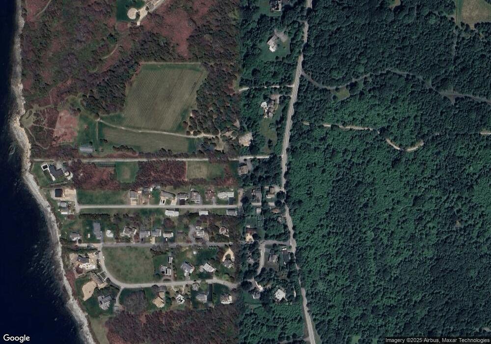
Map
- 4 Hull Cove St
- 76 Battery Ln
- 1003 Fort Getty Rd
- 115 Beavertail Rd
- 65 Blueberry Ln
- 264 Colonel John Gardner Rd
- 25 Leonard Bodwell Rd
- 26 Richard Smith Rd
- 38 Pierce Ave
- 228 Bonnet Point Rd
- 42 Camden Rd
- 82 Clinton Ave
- 42 Windsor St
- 10 Anawan Ave
- 18 Anawan Ave
- 7 Clarke St
- 22 Southwest Ave
- 24 Southwest Ave
- 10 Cross Rd
- 175 Bonnet Point Rd Unit Y17
- 8 Bayberry Rd
- 18 Bayberry Rd
- 2 Bayberry Rd
- 22 Bayberry Rd
- 7 Bayberry Rd
- 17 Bayberry Rd
- 3 Bayberry Rd
- 28 Bayberry Rd
- 12 Bonnet View Dr
- 24 Bonnet View Dr
- 27 Bayberry Rd
- 32 Bayberry Rd
- 370 Beavertail Rd
- 340 Beavertail Rd
- 36 Bayberry Rd Unit 38
- 0 Bayberry Rd
- 29 Bayberry Rd
- 2 Whale Rock Rd
- 32 Bonnet View Dr
- 3 Whale Rock Rd
Ask me questions while you tour the home.